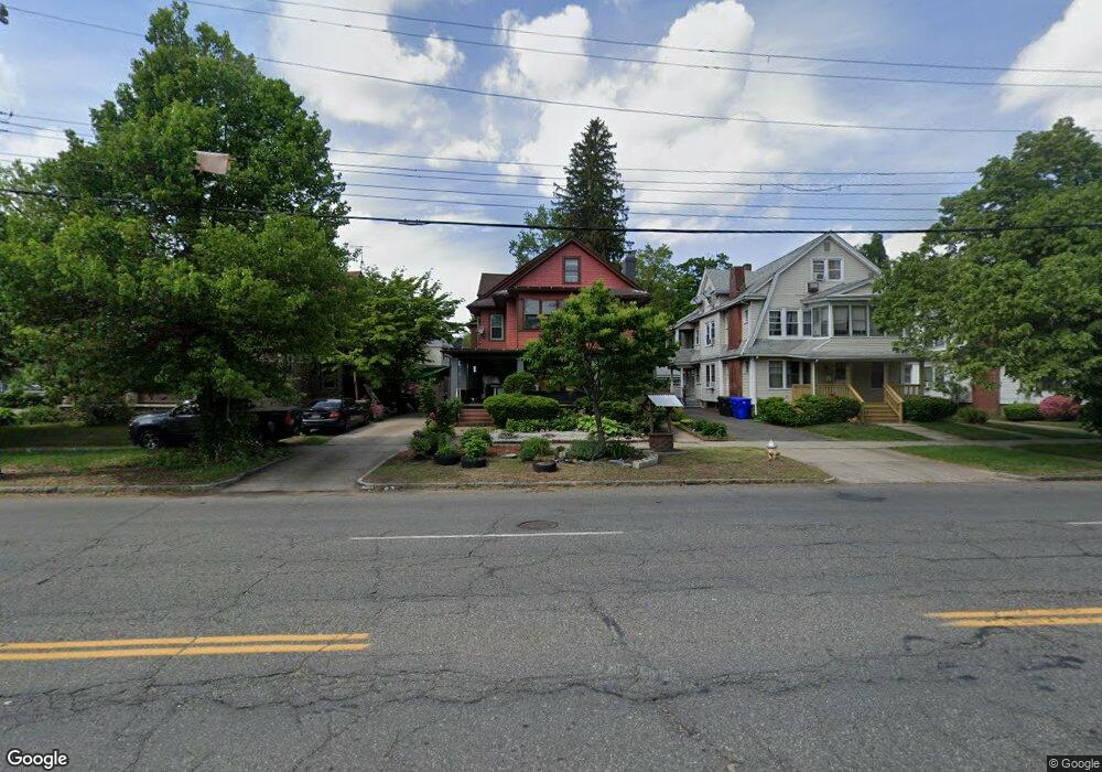
850 Sumner Ave Unit 852 Springfield, MA 01108
Forest Park NeighborhoodEstimated Value: $311,420 - $400,000
8
Beds
3
Baths
3,204
Sq Ft
$115/Sq Ft
Est. Value
About This Home
This home is located at 850 Sumner Ave Unit 852, Springfield, MA 01108 and is currently estimated at $368,605, approximately $115 per square foot. 850 Sumner Ave Unit 852 is a home located in Hampden County with nearby schools including White Street Elementary School, M Marcus Kiley Middle, and High School Of Commerce.
Ownership History
Date
Name
Owned For
Owner Type
Purchase Details
Closed on
Jun 1, 2009
Sold by
Jannakas Ira A
Bought by
Malcolm Betsylina A
Current Estimated Value
Home Financials for this Owner
Home Financials are based on the most recent Mortgage that was taken out on this home.
Original Mortgage
$151,887
Outstanding Balance
$96,481
Interest Rate
4.87%
Mortgage Type
Purchase Money Mortgage
Estimated Equity
$272,124
Create a Home Valuation Report for This Property
The Home Valuation Report is an in-depth analysis detailing your home's value as well as a comparison with similar homes in the area
Home Values in the Area
Average Home Value in this Area
Purchase History
| Date | Buyer | Sale Price | Title Company |
|---|---|---|---|
| Malcolm Betsylina A | $155,000 | -- |
Source: Public Records
Mortgage History
| Date | Status | Borrower | Loan Amount |
|---|---|---|---|
| Open | Malcolm Betsylina A | $151,887 |
Source: Public Records
Tax History
| Year | Tax Paid | Tax Assessment Tax Assessment Total Assessment is a certain percentage of the fair market value that is determined by local assessors to be the total taxable value of land and additions on the property. | Land | Improvement |
|---|---|---|---|---|
| 2025 | $4,072 | $259,700 | $30,900 | $228,800 |
| 2024 | $3,548 | $220,900 | $30,900 | $190,000 |
| 2023 | $3,574 | $208,000 | $28,100 | $179,900 |
| 2022 | $3,704 | $196,800 | $27,900 | $168,900 |
| 2021 | $3,504 | $185,400 | $25,400 | $160,000 |
| 2020 | $3,605 | $184,600 | $25,400 | $159,200 |
| 2019 | $3,470 | $176,300 | $25,400 | $150,900 |
| 2018 | $3,123 | $158,700 | $25,400 | $133,300 |
| 2017 | $2,811 | $143,000 | $25,400 | $117,600 |
| 2016 | $2,577 | $131,100 | $25,400 | $105,700 |
| 2015 | $2,349 | $119,400 | $25,400 | $94,000 |
Source: Public Records
Map
Nearby Homes
- 854 Sumner Ave Unit 856
- 844 Sumner Ave Unit 846
- 844-846 Sumner Ave
- 15 Daviston St
- 860 Sumner Ave Unit 862
- 21 Daviston St
- 834 Sumner Ave
- 25 Daviston St
- 866 Sumner Ave Unit 868
- 14 Daviston St
- 5 Eton St
- 18 Daviston St
- 31 Sumner Ave
- 828 Sumner Ave
- 0 Eckington St
- 24 Daviston St
- 837 Sumner Ave Unit 839
- 31 Daviston St
- 876 Sumner Ave
- 878 Sumner Ave
Your Personal Tour Guide
Ask me questions while you tour the home.