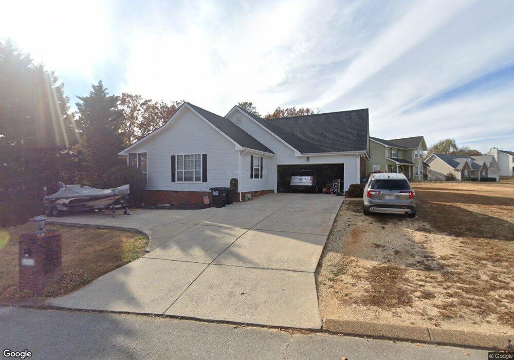
8501 Shady Stream Ln Harrison, TN 37341
Harrison Bay NeighborhoodEstimated Value: $373,000 - $431,000
3
Beds
2
Baths
1,815
Sq Ft
$219/Sq Ft
Est. Value
About This Home
This home is located at 8501 Shady Stream Ln, Harrison, TN 37341 and is currently estimated at $397,573, approximately $219 per square foot. 8501 Shady Stream Ln is a home located in Hamilton County with nearby schools including Snow Hill Elementary School, Brown Middle School, and Central High School.
Ownership History
Date
Name
Owned For
Owner Type
Purchase Details
Closed on
Jan 30, 2017
Sold by
Pioneer Title Agency Inc
Bought by
Hargrove Donald Glenn
Current Estimated Value
Purchase Details
Closed on
Mar 8, 1999
Sold by
Stansbury Michael W and Stansbury Carol B
Bought by
Lindsey Robert L and Lindsey Deborah Dianne
Home Financials for this Owner
Home Financials are based on the most recent Mortgage that was taken out on this home.
Original Mortgage
$115,850
Interest Rate
7.58%
Purchase Details
Closed on
Jan 31, 1997
Sold by
Freeman David L and Freeman Sherry L
Bought by
Stansbury Michael W and Stansbury Carol B
Home Financials for this Owner
Home Financials are based on the most recent Mortgage that was taken out on this home.
Original Mortgage
$118,750
Interest Rate
7.77%
Create a Home Valuation Report for This Property
The Home Valuation Report is an in-depth analysis detailing your home's value as well as a comparison with similar homes in the area
Home Values in the Area
Average Home Value in this Area
Purchase History
| Date | Buyer | Sale Price | Title Company |
|---|---|---|---|
| Hargrove Donald Glenn | -- | Pioneer Title Agency Inc | |
| Pioeer Title Agency Inc | -- | Pioneer Title Agency Inc | |
| Lindsey Robert L | $128,750 | -- | |
| Stansbury Michael W | $125,000 | -- |
Source: Public Records
Mortgage History
| Date | Status | Borrower | Loan Amount |
|---|---|---|---|
| Previous Owner | Lindsey Robert L | $115,850 | |
| Previous Owner | Stansbury Michael W | $118,750 |
Source: Public Records
Tax History
| Year | Tax Paid | Tax Assessment Tax Assessment Total Assessment is a certain percentage of the fair market value that is determined by local assessors to be the total taxable value of land and additions on the property. | Land | Improvement |
|---|---|---|---|---|
| 2025 | $1,461 | $96,375 | $0 | $0 |
| 2024 | $1,448 | $64,700 | $0 | $0 |
| 2023 | $1,457 | $64,700 | $0 | $0 |
| 2022 | $1,457 | $64,700 | $0 | $0 |
| 2021 | $1,457 | $64,700 | $0 | $0 |
| 2020 | $1,328 | $47,700 | $0 | $0 |
| 2019 | $1,328 | $47,700 | $0 | $0 |
| 2018 | $1,328 | $47,700 | $0 | $0 |
| 2017 | $1,328 | $47,700 | $0 | $0 |
| 2016 | $1,292 | $0 | $0 | $0 |
| 2015 | $1,292 | $46,400 | $0 | $0 |
| 2014 | $1,292 | $0 | $0 | $0 |
Source: Public Records
Map
Nearby Homes
- 6656 River Stream Dr
- 8869 River Cove Dr
- 6410 Shirley Pond Rd
- 6925 Ramseytown Rd
- 6323 Shirley Pond Rd
- 6616 Ramsey Rd
- 8710 Hidden Branches Rd
- 6041 Shirley Pond Rd
- 6019 Shirley Pond Rd
- 8907 Hidden Branches Rd
- 7407 Pond View
- 8795 Bramlett Rd
- 6314 Rodney Ln
- 8645 Woodbury Acre Ct
- 8649 Woodbury Acre Ct
- 8629 Woodbury Acre Ct
- 7361 Sweet Magnolia Ln
- 0 Tennessee 58
- 7435 Coastal Dr
- 7321 Coastal Dr
- 6520 Rolling River Rd
- 6520 Rolling Riverroad
- 8505 Shady Stream Ln
- 6532 Rolling River Rd
- 8500 Shady Stream Ln
- 6524 Rolling River Rd
- 8507 Shady Stream Ln
- 6519 Rolling River Rd
- 6519 Rolling River Rd Unit 3
- 8506 Shady Stream Ln
- 6523 Rolling River Rd
- 6513 Rolling River Rd
- 8420 Forest Breeze Dr
- 8410 Forest Breeze Dr
- 6526 Rolling River Rd
- 6508 Rolling River Rd
- 0 Rolling River Rd
- 8511 Shady Stream Ln
- 6525 Rolling River Rd
- 8430 Forest Breeze Dr
Your Personal Tour Guide
Ask me questions while you tour the home.