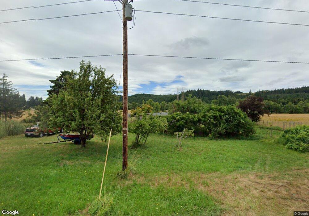
85098 Territorial Hwy Eugene, OR 97402
Estimated Value: $646,000 - $962,000
4
Beds
3
Baths
3,200
Sq Ft
$259/Sq Ft
Est. Value
About This Home
This home is located at 85098 Territorial Hwy, Eugene, OR 97402 and is currently estimated at $829,254, approximately $259 per square foot. 85098 Territorial Hwy is a home located in Lane County with nearby schools including Applegate Elementary School and Crow Middle/High School.
Ownership History
Date
Name
Owned For
Owner Type
Purchase Details
Closed on
Jul 2, 2015
Sold by
Robertson Roger and Robertson Family Trust
Bought by
Myers William J and Myers Andrea R
Current Estimated Value
Home Financials for this Owner
Home Financials are based on the most recent Mortgage that was taken out on this home.
Original Mortgage
$387,000
Outstanding Balance
$296,171
Interest Rate
3.5%
Mortgage Type
Adjustable Rate Mortgage/ARM
Estimated Equity
$533,083
Purchase Details
Closed on
Jun 23, 2000
Sold by
Robertson Alva L and Robertson Wilma
Bought by
Robertson Alva L and Robertson Wilma O
Create a Home Valuation Report for This Property
The Home Valuation Report is an in-depth analysis detailing your home's value as well as a comparison with similar homes in the area
Home Values in the Area
Average Home Value in this Area
Purchase History
| Date | Buyer | Sale Price | Title Company |
|---|---|---|---|
| Myers William J | $430,000 | Western Title & Escrow | |
| Robertson Alva L | -- | -- |
Source: Public Records
Mortgage History
| Date | Status | Borrower | Loan Amount |
|---|---|---|---|
| Open | Myers William J | $387,000 |
Source: Public Records
Tax History Compared to Growth
Tax History
| Year | Tax Paid | Tax Assessment Tax Assessment Total Assessment is a certain percentage of the fair market value that is determined by local assessors to be the total taxable value of land and additions on the property. | Land | Improvement |
|---|---|---|---|---|
| 2025 | $4,219 | $329,207 | -- | -- |
| 2024 | $4,098 | $319,722 | -- | -- |
| 2023 | $4,098 | $310,528 | $0 | $0 |
| 2022 | $3,862 | $301,599 | $0 | $0 |
| 2021 | $3,565 | $292,947 | $0 | $0 |
| 2020 | $3,452 | $284,523 | $0 | $0 |
| 2019 | $3,175 | $276,361 | $0 | $0 |
| 2018 | $3,024 | $260,715 | $0 | $0 |
| 2017 | $2,713 | $260,715 | $0 | $0 |
| 2016 | $2,299 | $253,237 | $0 | $0 |
| 2015 | $746 | $70,106 | $0 | $0 |
| 2014 | -- | $67,823 | $0 | $0 |
Source: Public Records
Map
Nearby Homes
- 84899 Territorial Hwy
- 0 Battle Creek Rd
- 000 Territorial Hwy
- 27004 Briggs Hill Rd
- 24763 Sturtevant Dr
- 86104 Sells View Dr
- 86230 Territorial Hwy
- 27520 Erickson Rd
- 27911 Lady Slipper Loop
- 27067 Pickens Rd
- 24531 Vaughn Rd
- 27730 Erickson Rd
- 25346 Wheaton Ln
- 24333 Vaughn Rd
- 28198 Briggs Hill Rd
- 87206 Greenridge Dr
- 87313 Chinquapin Loop
- 24247 Vaughn Rd
- 28408 Spencer Creek Rd
- 25780 Perkins Rd
- 85097 Territorial Hwy
- 85106 Territorial Hwy
- 85089 Territorial Hwy
- 85083 Territorial Hwy
- 85006 Territorial Hwy
- 85061 Territorial Hwy
- 85059 Territorial Hwy
- 84958 Territorial Hwy
- 84963 Battle Creek Rd
- 85013 Territorial Hwy
- 85138 Boomer Rd
- 85125 Battle Creek Rd
- 85005 Territorial Hwy
- 85129 Boomer Rd
- 84920 Territorial Hwy
- 85172 Battle Creek Rd
- 85170 Battle Creek Rd
- 84896 Territorial Hwy
- 85187 Boomer Rd
- 85182 Coyote Creek Rd
