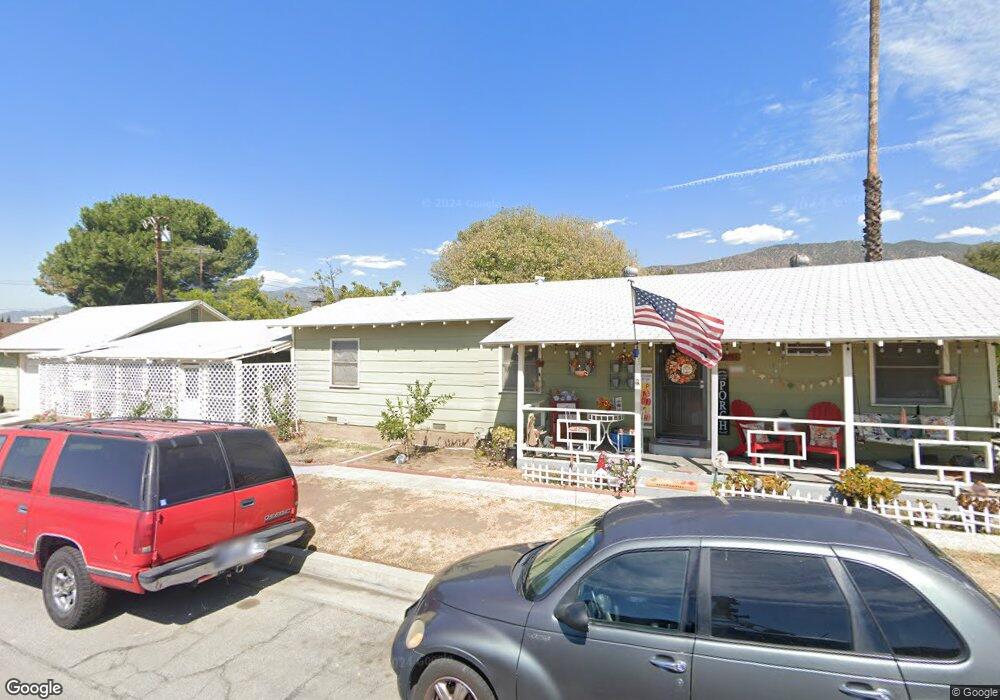
851 W Carroll Ave Glendora, CA 91741
South Glendora NeighborhoodEstimated Value: $708,000 - $886,000
3
Beds
1
Bath
1,092
Sq Ft
$702/Sq Ft
Est. Value
About This Home
This home is located at 851 W Carroll Ave, Glendora, CA 91741 and is currently estimated at $766,485, approximately $701 per square foot. 851 W Carroll Ave is a home located in Los Angeles County with nearby schools including La Fetra Elementary School, Sandburg Middle School, and Glendora High School.
Ownership History
Date
Name
Owned For
Owner Type
Purchase Details
Closed on
May 7, 2002
Sold by
Russell Esther M and Russell Terry Jay
Bought by
Bock Michael and Bock Yvonne
Current Estimated Value
Home Financials for this Owner
Home Financials are based on the most recent Mortgage that was taken out on this home.
Original Mortgage
$218,400
Outstanding Balance
$93,518
Interest Rate
7.13%
Estimated Equity
$672,967
Purchase Details
Closed on
Nov 12, 1996
Sold by
Russell Marguerite and Russell Esther M
Bought by
Russell Esther M and Esther M Russell Revocable Tru
Create a Home Valuation Report for This Property
The Home Valuation Report is an in-depth analysis detailing your home's value as well as a comparison with similar homes in the area
Home Values in the Area
Average Home Value in this Area
Purchase History
| Date | Buyer | Sale Price | Title Company |
|---|---|---|---|
| Bock Michael | $230,000 | United Title Company | |
| Russell Esther M | -- | -- |
Source: Public Records
Mortgage History
| Date | Status | Borrower | Loan Amount |
|---|---|---|---|
| Open | Bock Michael | $218,400 |
Source: Public Records
Tax History Compared to Growth
Tax History
| Year | Tax Paid | Tax Assessment Tax Assessment Total Assessment is a certain percentage of the fair market value that is determined by local assessors to be the total taxable value of land and additions on the property. | Land | Improvement |
|---|---|---|---|---|
| 2025 | $4,297 | $339,606 | $271,073 | $68,533 |
| 2024 | $4,297 | $332,948 | $265,758 | $67,190 |
| 2023 | $4,201 | $326,421 | $260,548 | $65,873 |
| 2022 | $4,121 | $320,022 | $255,440 | $64,582 |
| 2021 | $4,049 | $313,748 | $250,432 | $63,316 |
| 2019 | $3,832 | $304,444 | $243,005 | $61,439 |
| 2018 | $3,690 | $298,476 | $238,241 | $60,235 |
| 2016 | $3,540 | $286,888 | $228,991 | $57,897 |
| 2015 | $3,464 | $282,580 | $225,552 | $57,028 |
| 2014 | $3,458 | $277,045 | $221,134 | $55,911 |
Source: Public Records
Map
Nearby Homes
- 142 Windermere Ln
- 160 N Barranca Ave
- 833 W Orangepath St
- 623 W Foothill Blvd Unit 39
- 627 W Foothill Blvd Unit 36
- 19129 E Orangepath St
- 1033 Elderberry Dr
- 245 Snapdragon Ln
- 645 W Foothill Blvd Unit 10
- 645 W Foothill Blvd Unit 11
- 535 W Foothill Blvd Unit 102
- 253 Clementine Ct
- 619 W Leeside St
- 332 Snapdragon Ln
- 543 W Heber St
- 1019 W Milton Dr
- 19003 E Haltern Ave
- 715 Forestdale Ave
- 840 E Foothill Blvd Unit 99
- 834 E Pepper Tree Dr
- 153 S Marcile Ave
- 853 W Carroll Ave
- 145 S Marcile Ave
- 859 W Carroll Ave
- 144 S Barranca Ave
- 863 W Carroll Ave
- 839 W Carroll Ave
- 156 S Marcile Ave
- 135 S Marcile Ave
- 140 S Barranca Ave
- 144 S Marcile Ave
- 208 S Barranca Ave Unit 35
- 208 S Barranca Ave Unit 57
- 208 S Barranca Ave Unit 52
- 208 S Barranca Ave Unit 60
- 208 S Barranca Ave Unit 4
- 208 S Barranca Ave Unit 47
- 208 S Barranca Ave Unit 45
- 208 S Barranca Ave Unit 33
- 208 S Barranca Ave Unit 15