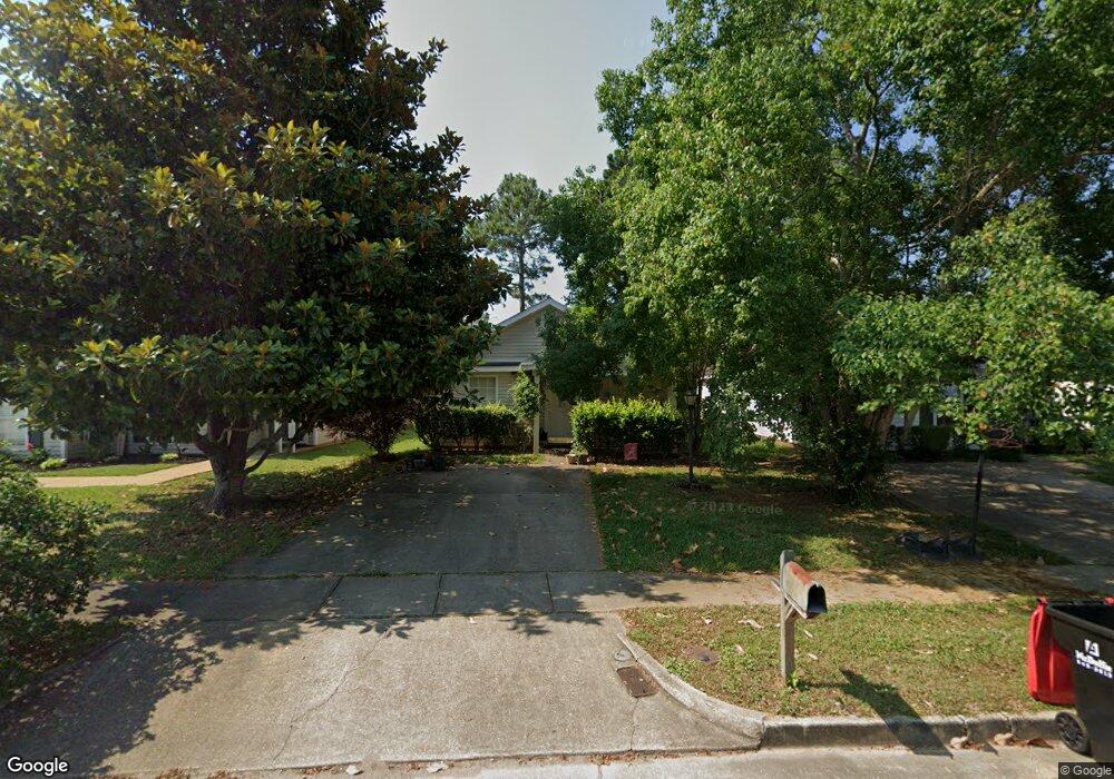
8511 Brandy Oak Ct Mobile, AL 36695
Yorkwood NeighborhoodEstimated Value: $178,594 - $186,000
3
Beds
2
Baths
1,125
Sq Ft
$163/Sq Ft
Est. Value
About This Home
This home is located at 8511 Brandy Oak Ct, Mobile, AL 36695 and is currently estimated at $183,399, approximately $163 per square foot. 8511 Brandy Oak Ct is a home located in Mobile County with nearby schools including O'rourke Elementary School, Bernice J Causey Middle School, and Baker High School.
Ownership History
Date
Name
Owned For
Owner Type
Purchase Details
Closed on
Jul 13, 2001
Sold by
The Mitchell Company Inc
Bought by
Andrews Charlotte P
Current Estimated Value
Home Financials for this Owner
Home Financials are based on the most recent Mortgage that was taken out on this home.
Original Mortgage
$92,469
Outstanding Balance
$35,687
Interest Rate
7.16%
Mortgage Type
FHA
Estimated Equity
$147,712
Create a Home Valuation Report for This Property
The Home Valuation Report is an in-depth analysis detailing your home's value as well as a comparison with similar homes in the area
Home Values in the Area
Average Home Value in this Area
Purchase History
| Date | Buyer | Sale Price | Title Company |
|---|---|---|---|
| Andrews Charlotte P | -- | Surety Land Title Inc |
Source: Public Records
Mortgage History
| Date | Status | Borrower | Loan Amount |
|---|---|---|---|
| Open | Andrews Charlotte P | $92,469 |
Source: Public Records
Tax History Compared to Growth
Tax History
| Year | Tax Paid | Tax Assessment Tax Assessment Total Assessment is a certain percentage of the fair market value that is determined by local assessors to be the total taxable value of land and additions on the property. | Land | Improvement |
|---|---|---|---|---|
| 2024 | $588 | $13,290 | $2,800 | $10,490 |
| 2023 | $588 | $11,190 | $2,820 | $8,370 |
| 2022 | $448 | $10,610 | $2,560 | $8,050 |
| 2021 | $412 | $9,870 | $2,560 | $7,310 |
| 2020 | $416 | $9,960 | $2,560 | $7,400 |
| 2019 | $394 | $9,500 | $0 | $0 |
| 2018 | $392 | $9,460 | $0 | $0 |
| 2017 | $432 | $10,280 | $0 | $0 |
| 2016 | $436 | $10,380 | $0 | $0 |
| 2013 | $418 | $9,920 | $0 | $0 |
Source: Public Records
Map
Nearby Homes
- 8545 Brandy Oak Ct
- 1897 Burnham Ct
- 2006 E Clarke Rd
- 1839 Kendall Ct
- 8525 Gayla Ct
- 1763 Harrington Way
- 2154 O'Rourke Dr
- 2155 Brittany Dr
- 8700 Irongate Way
- 1720 Leroy Stevens Rd
- 2200 O'Rourke Dr
- 8816 Spring Grove N
- 8240 Taddish Dr N
- 1645 Dawes Rd
- 8876 Spring Grove N
- 1832 Aden Rd
- 2364 Randlett Trace
- 2245 Spring Grove E
- 8924 Spring Grove N
- 8391 Jeff Hamilton Road Extension
- 8505 Brandy Oak Ct
- 8515 Brandy Oak Ct
- 8501 Brandy Oak Ct
- 8521 Brandy Oak Ct
- 8495 Brandy Oak Ct
- 8525 Brandy Oak Ct
- 8510 Desert Oak Ct
- 8504 Desert Oak Ct
- 8514 Desert Oak Ct
- 8500 Desert Oak Ct
- 8520 Desert Oak Ct
- 8491 Brandy Oak Ct
- 8531 Brandy Oak Ct
- 8494 Desert Oak Ct
- 8512 Brandy Oak Ct
- 8516 Brandy Oak Ct
- 8506 Brandy Oak Ct
- 8524 Desert Oak Ct
- 8490 Desert Oak Ct
- 8502 Brandy Oak Ct