Estimated Value: $300,000 - $365,116
--
Bed
1
Bath
2,032
Sq Ft
$164/Sq Ft
Est. Value
About This Home
This home is located at 852 W Willson St, Niota, TN 37826 and is currently estimated at $332,279, approximately $163 per square foot. 852 W Willson St is a home located in McMinn County.
Ownership History
Date
Name
Owned For
Owner Type
Purchase Details
Closed on
Oct 7, 2019
Sold by
Self Robert D
Bought by
Self James M and Self Lisa L
Current Estimated Value
Purchase Details
Closed on
Sep 27, 2011
Bought by
Self Robert D&Ruth C Self Regions Bank
Purchase Details
Closed on
May 3, 2011
Sold by
Murphy Laura L
Bought by
Federal National Mtg Associati
Purchase Details
Closed on
Nov 12, 2003
Sold by
Randi George C
Bought by
Murphy Laura L
Home Financials for this Owner
Home Financials are based on the most recent Mortgage that was taken out on this home.
Original Mortgage
$132,800
Interest Rate
5.93%
Purchase Details
Closed on
Jan 27, 1988
Bought by
Randi George C and Randi Barbara J
Create a Home Valuation Report for This Property
The Home Valuation Report is an in-depth analysis detailing your home's value as well as a comparison with similar homes in the area
Home Values in the Area
Average Home Value in this Area
Purchase History
| Date | Buyer | Sale Price | Title Company |
|---|---|---|---|
| Self James M | $162,500 | -- | |
| Self Robert D&Ruth C Self Regions Bank | $162,500 | -- | |
| Federal National Mtg Associati | $166,407 | -- | |
| Murphy Laura L | $166,000 | -- | |
| Randi George C | $110,000 | -- |
Source: Public Records
Mortgage History
| Date | Status | Borrower | Loan Amount |
|---|---|---|---|
| Previous Owner | Randi George C | $132,800 | |
| Previous Owner | Randi George C | $24,900 |
Source: Public Records
Tax History Compared to Growth
Tax History
| Year | Tax Paid | Tax Assessment Tax Assessment Total Assessment is a certain percentage of the fair market value that is determined by local assessors to be the total taxable value of land and additions on the property. | Land | Improvement |
|---|---|---|---|---|
| 2024 | $1,133 | $58,175 | $24,475 | $33,700 |
| 2023 | $1,133 | $58,175 | $24,475 | $33,700 |
| 2022 | $1,301 | $44,000 | $19,250 | $24,750 |
| 2021 | $1,213 | $44,000 | $19,250 | $24,750 |
| 2020 | $1,213 | $44,000 | $19,250 | $24,750 |
| 2019 | $1,207 | $43,775 | $19,250 | $24,525 |
| 2018 | $1,119 | $43,775 | $19,250 | $24,525 |
| 2017 | $1,110 | $42,175 | $19,300 | $22,875 |
| 2016 | $1,110 | $42,175 | $19,300 | $22,875 |
| 2015 | -- | $42,175 | $19,300 | $22,875 |
| 2014 | $1,111 | $42,177 | $0 | $0 |
Source: Public Records
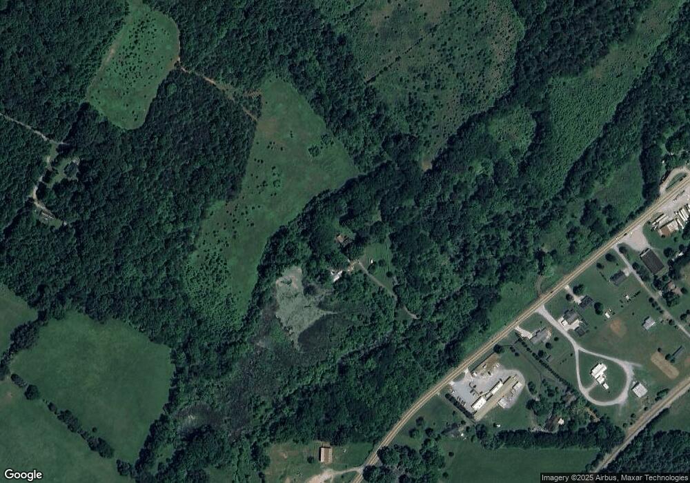
Map
Nearby Homes
- 294 County Road 260
- 302 W Farrell St
- 204 E Farrell St
- 0 County Road 260
- 000 County Road 260
- 1 Magnolia St
- 307 N Burn Rd
- 201 County Road 260
- 612 Pond Hill Rd
- 216 Crescent Cir
- 220 Crescent Cir
- 224 Crescent Cir
- 228 Crescent Cir
- 232 Crescent Cir
- 236 Crescent Cir
- 273 Crescent Cir
- Aria Plan at Crescent Ridge
- Cali Plan at Crescent Ridge
- Lewis Plan at Crescent Ridge
- Sullivan Plan at Crescent Ridge
- 852 U S 11
- 832 W Wilson St
- 832 W Willson St
- 871 W Willson St
- 835 W Willson St
- 831 W Willson St
- 190 County Road 262
- 827 W Willson St
- 847 W Willson St
- 186 County Road 262
- 845 W Willson St
- 720 W Willson St
- 837 W Willson St
- 823 W Willson St
- 821 W Willson St
- 720 W Wilson (Highway 11) St
- 0 Highway 11 Unit 933980
- 0 Highway 11 Unit 1098154
- 158 County Road 262
- 144 County Road 262