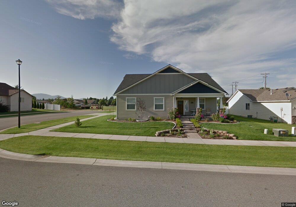
8523 N Brookside Dr Hayden, ID 83835
Estimated Value: $636,000 - $746,000
5
Beds
4
Baths
3,853
Sq Ft
$179/Sq Ft
Est. Value
About This Home
This home is located at 8523 N Brookside Dr, Hayden, ID 83835 and is currently estimated at $691,604, approximately $179 per square foot. 8523 N Brookside Dr is a home with nearby schools including Atlas Elementary School, Woodland Middle School, and Lake City High School.
Ownership History
Date
Name
Owned For
Owner Type
Purchase Details
Closed on
Nov 19, 2018
Sold by
Cheney Melissa
Bought by
Skinner Christopher
Current Estimated Value
Home Financials for this Owner
Home Financials are based on the most recent Mortgage that was taken out on this home.
Original Mortgage
$126,000
Outstanding Balance
$111,016
Interest Rate
4.9%
Mortgage Type
New Conventional
Estimated Equity
$580,588
Create a Home Valuation Report for This Property
The Home Valuation Report is an in-depth analysis detailing your home's value as well as a comparison with similar homes in the area
Purchase History
| Date | Buyer | Sale Price | Title Company |
|---|---|---|---|
| Skinner Christopher | -- | Titleone Boise |
Source: Public Records
Mortgage History
| Date | Status | Borrower | Loan Amount |
|---|---|---|---|
| Open | Skinner Christopher | $126,000 |
Source: Public Records
Tax History
| Year | Tax Paid | Tax Assessment Tax Assessment Total Assessment is a certain percentage of the fair market value that is determined by local assessors to be the total taxable value of land and additions on the property. | Land | Improvement |
|---|---|---|---|---|
| 2025 | $2,308 | $668,400 | $190,000 | $478,400 |
| 2024 | $2,189 | $648,260 | $175,000 | $473,260 |
| 2023 | $2,189 | $676,923 | $180,000 | $496,923 |
| 2022 | $2,707 | $748,982 | $200,000 | $548,982 |
| 2021 | $2,702 | $507,742 | $125,000 | $382,742 |
| 2020 | $2,747 | $442,870 | $100,000 | $342,870 |
| 2019 | $2,674 | $406,603 | $96,800 | $309,803 |
| 2018 | $2,505 | $356,230 | $88,000 | $268,230 |
| 2017 | $2,375 | $326,280 | $65,000 | $261,280 |
| 2016 | $2,292 | $304,160 | $57,500 | $246,660 |
| 2015 | $2,158 | $281,850 | $46,000 | $235,850 |
| 2013 | $2,031 | $249,650 | $36,800 | $212,850 |
Source: Public Records
Map
Nearby Homes
- 1563 W Woodlawn Dr
- 1362 W Tanglewood Ct
- 1284 W Linwood Dr
- 1446 W Woodlawn Dr
- 1346 W Progress Dr
- 1485 W Woodlawn Dr
- 1810 W Honeysuckle Ave
- 7257 N Breaux Dr N
- 1761 W Pyrenees Loop
- 1452 W Moselle Dr
- 8862 N Mac Arthur Way
- 9088 N Orange Blossom Ct
- 7857 N Mocha Loop
- 7853 N Mocha Loop
- 7847 N Mocha Loop
- 7833 N Mocha Loop
- 7827 N Mocha Loop
- 7863 N Mocha Loop
- 7767 N Mocha Loop
- 7785 N Mocha Loop
- 8533 N Brookside Dr
- 8503 N Brookside Dr
- 8522 N Brookside Dr
- 8532 N Brookside Dr
- 8493 N Brookside Dr
- 8492 N Brookside Dr
- 8355 N Coopers Hawk Dr
- 8483 N Brookside Dr
- 1649 W Cardinal Ave
- 8482 N Brookside Dr
- 1671 W Cardinal Ave
- 1563 W Rosewood Ct
- 1548 W Rosewood Ct
- 8315 N Coopers Hawk Dr
- 1693 W Cardinal Ave
- 1525 W Heron Ave
- 8473 N Brookside Dr
- 8472 N Brookside Dr
- 1715 W Cardinal Ave
- 1557 Rosewood Ct
Your Personal Tour Guide
Ask me questions while you tour the home.