8529 County Road 12 1 Wauseon, OH 43567
Estimated Value: $246,031 - $327,000
3
Beds
3
Baths
1,484
Sq Ft
$189/Sq Ft
Est. Value
About This Home
This home is located at 8529 County Road 12 1, Wauseon, OH 43567 and is currently estimated at $280,258, approximately $188 per square foot. 8529 County Road 12 1 is a home located in Fulton County with nearby schools including Delta Elementary School, Pike-Delta-York Middle School, and Pike-Delta-York High School.
Ownership History
Date
Name
Owned For
Owner Type
Purchase Details
Closed on
Feb 20, 2015
Sold by
Fruchey Bert A and Fruchey Kimberly A
Bought by
Blohm Jacob J and Blohm Amanda J
Current Estimated Value
Home Financials for this Owner
Home Financials are based on the most recent Mortgage that was taken out on this home.
Original Mortgage
$120,000
Outstanding Balance
$91,775
Interest Rate
3.72%
Mortgage Type
New Conventional
Estimated Equity
$188,483
Purchase Details
Closed on
Jan 1, 1990
Bought by
Fruchey Bert A and Fruchey Kimberly A
Create a Home Valuation Report for This Property
The Home Valuation Report is an in-depth analysis detailing your home's value as well as a comparison with similar homes in the area
Home Values in the Area
Average Home Value in this Area
Purchase History
| Date | Buyer | Sale Price | Title Company |
|---|---|---|---|
| Blohm Jacob J | $150,000 | Attorney | |
| Fruchey Bert A | -- | -- |
Source: Public Records
Mortgage History
| Date | Status | Borrower | Loan Amount |
|---|---|---|---|
| Open | Blohm Jacob J | $120,000 |
Source: Public Records
Tax History Compared to Growth
Tax History
| Year | Tax Paid | Tax Assessment Tax Assessment Total Assessment is a certain percentage of the fair market value that is determined by local assessors to be the total taxable value of land and additions on the property. | Land | Improvement |
|---|---|---|---|---|
| 2024 | $2,518 | $65,350 | $9,240 | $56,110 |
| 2023 | $2,523 | $65,350 | $9,240 | $56,110 |
| 2022 | $2,376 | $47,780 | $7,700 | $40,080 |
| 2021 | $2,460 | $47,780 | $7,700 | $40,080 |
| 2020 | $2,451 | $47,780 | $7,700 | $40,080 |
| 2019 | $2,104 | $42,910 | $7,560 | $35,350 |
| 2018 | $1,991 | $42,910 | $7,560 | $35,350 |
| 2017 | $1,997 | $42,910 | $7,560 | $35,350 |
| 2016 | $1,862 | $36,650 | $7,560 | $29,090 |
| 2015 | $1,812 | $36,650 | $7,560 | $29,090 |
| 2014 | $1,804 | $36,650 | $7,560 | $29,090 |
| 2013 | $2,213 | $44,350 | $8,160 | $36,190 |
Source: Public Records
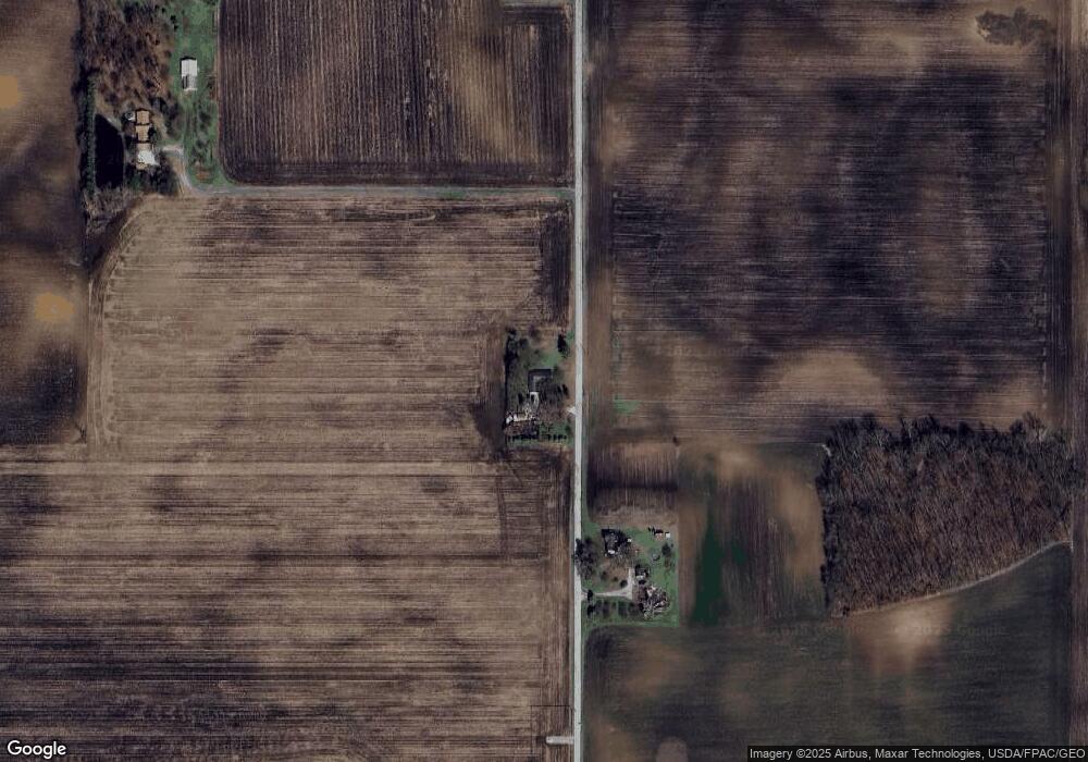
Map
Nearby Homes
- 8453 County Road 13
- 7620 County Road 12
- 0 County Road H
- 7373 County Road 12
- 13242 Us Highway 20a
- 13354 U S 20a
- 1209 Apache Dr
- 460 Airport Hwy
- 11715 County Road L
- Integrity 1830 Plan at Arrowhead Trails
- integrity 2280 Plan at Arrowhead Trails
- Integrity 2080 Plan at Arrowhead Trails
- 1090 Seneca Dr
- 1062 Seneca Dr
- 1058 Seneca Dr
- 1066 Seneca Dr
- 14900 County Road H
- 14900 W Co Rd H
- 14578 Us Highway 20a
- 11517 County Road 11
- 8446 County Road 12 1
- 8044 County Road 12 1
- 8711 County Road 12 1
- 8629 County Road 12 1
- 8851 County Road 12 1
- 8851 County Road 12
- 8985 County Road 12 1
- 12675 County Road J
- 12463 County Road J
- 12495 County Road J
- 12180 County Road J
- 12007 County Road J
- 12112 County Road J
- 12745 County Road J
- 12541 County Road J
- 12645 County Road J
- 12471 County Road H
- 11970 County Road H
- 12544 County Road H
- 12544 County Road H