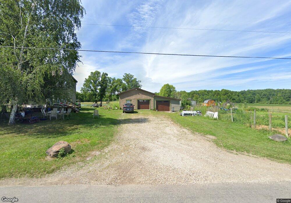
8535 Yale Rd Rootstown, OH 44272
Estimated Value: $263,000
3
Beds
1
Bath
1,472
Sq Ft
$179/Sq Ft
Est. Value
About This Home
This home is located at 8535 Yale Rd, Rootstown, OH 44272 and is currently estimated at $263,000, approximately $178 per square foot. 8535 Yale Rd is a home located in Portage County with nearby schools including Southeast High School.
Ownership History
Date
Name
Owned For
Owner Type
Purchase Details
Closed on
Feb 22, 2017
Sold by
Smith Dale L and Smith Marion
Bought by
Smith Dale L and Smith Marion
Current Estimated Value
Purchase Details
Closed on
Dec 11, 2000
Sold by
Smith Dale L
Bought by
Smith Dale L and Smith Marion
Home Financials for this Owner
Home Financials are based on the most recent Mortgage that was taken out on this home.
Original Mortgage
$50,000
Outstanding Balance
$20,792
Interest Rate
9.5%
Estimated Equity
$242,208
Purchase Details
Closed on
Mar 2, 2000
Sold by
Smith Dale L and Smith Marion
Bought by
Smith Brian D
Purchase Details
Closed on
May 21, 1992
Bought by
Smith Dale L
Create a Home Valuation Report for This Property
The Home Valuation Report is an in-depth analysis detailing your home's value as well as a comparison with similar homes in the area
Purchase History
| Date | Buyer | Sale Price | Title Company |
|---|---|---|---|
| Smith Dale L | -- | None Available | |
| Smith Dale L | -- | Kaspar & Associates Inc | |
| Smith Brian D | -- | -- | |
| Smith Dale L | -- | -- |
Source: Public Records
Mortgage History
| Date | Status | Borrower | Loan Amount |
|---|---|---|---|
| Open | Smith Dale L | $50,000 |
Source: Public Records
Tax History Compared to Growth
Tax History
| Year | Tax Paid | Tax Assessment Tax Assessment Total Assessment is a certain percentage of the fair market value that is determined by local assessors to be the total taxable value of land and additions on the property. | Land | Improvement |
|---|---|---|---|---|
| 2024 | $1,848 | $66,640 | $26,390 | $40,250 |
| 2023 | $1,663 | $52,050 | $19,320 | $32,730 |
| 2022 | $1,707 | $51,560 | $19,320 | $32,240 |
| 2021 | $1,477 | $45,680 | $19,320 | $26,360 |
| 2020 | $1,300 | $40,080 | $19,320 | $20,760 |
| 2019 | $1,303 | $40,080 | $19,320 | $20,760 |
| 2018 | $1,175 | $35,420 | $19,320 | $16,100 |
| 2017 | $1,175 | $35,420 | $19,320 | $16,100 |
| 2016 | $1,626 | $35,420 | $19,320 | $16,100 |
| 2015 | $1,559 | $35,420 | $19,320 | $16,100 |
| 2014 | $1,590 | $35,420 | $19,320 | $16,100 |
| 2013 | $1,573 | $35,420 | $19,320 | $16,100 |
Source: Public Records
Map
Nearby Homes
- 2896 Alliance Rd
- 2434 Taft Ave
- 2880 State Route 14
- 2171 Alliance Rd
- 7939 Giddings Rd
- 3207 Prairie Cir
- 00 Ohio 14
- 3609 State Route 225
- 1731 Ohio 225
- 3545 Porter Rd
- 700 Stillwater Dr
- 9408 Tallmadge Rd
- 0 Ohio 225 Unit 5174573
- 0 McClintocksburg Rd Unit 5176449
- 4133 State Route 225
- 7392 Tallmadge Rd
- 3875 McClintocksburg Rd
- 1071 State Route 14
- 9865 Tallmadge Rd
- 6747 Giddings Rd