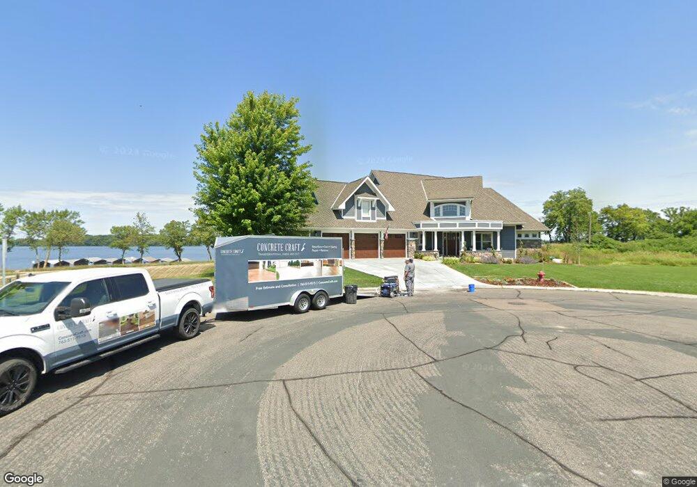
854 Beach Rd Waconia, MN 55387
Estimated Value: $1,661,000 - $1,907,000
4
Beds
5
Baths
5,629
Sq Ft
$323/Sq Ft
Est. Value
About This Home
This home is located at 854 Beach Rd, Waconia, MN 55387 and is currently estimated at $1,817,627, approximately $322 per square foot. 854 Beach Rd is a home located in Carver County with nearby schools including Bayview Elementary School, Waconia Middle School, and Waconia High School.
Ownership History
Date
Name
Owned For
Owner Type
Purchase Details
Closed on
Mar 25, 2022
Sold by
Jensen- Pers Rep For Delmer Jensen Daniel
Bought by
Allen Bruce and Allen Ann
Current Estimated Value
Purchase Details
Closed on
Aug 1, 2007
Sold by
Johnpatrick Llc
Bought by
Jensen Delmar and Jensen Mary Lou
Home Financials for this Owner
Home Financials are based on the most recent Mortgage that was taken out on this home.
Original Mortgage
$50,000
Interest Rate
6.69%
Mortgage Type
Purchase Money Mortgage
Create a Home Valuation Report for This Property
The Home Valuation Report is an in-depth analysis detailing your home's value as well as a comparison with similar homes in the area
Home Values in the Area
Average Home Value in this Area
Purchase History
| Date | Buyer | Sale Price | Title Company |
|---|---|---|---|
| Allen Bruce | $1,727,000 | -- | |
| Jensen Delmar | $379,900 | -- |
Source: Public Records
Mortgage History
| Date | Status | Borrower | Loan Amount |
|---|---|---|---|
| Previous Owner | Jensen Delmar | $50,000 |
Source: Public Records
Tax History
| Year | Tax Paid | Tax Assessment Tax Assessment Total Assessment is a certain percentage of the fair market value that is determined by local assessors to be the total taxable value of land and additions on the property. | Land | Improvement |
|---|---|---|---|---|
| 2025 | $24,910 | $1,804,800 | $487,500 | $1,317,300 |
| 2024 | $23,900 | $1,723,800 | $442,500 | $1,281,300 |
| 2023 | $21,366 | $1,714,500 | $442,500 | $1,272,000 |
| 2022 | $18,934 | $1,581,700 | $445,600 | $1,136,100 |
| 2021 | $18,926 | $1,194,900 | $296,000 | $898,900 |
| 2020 | $18,370 | $1,193,100 | $296,000 | $897,100 |
| 2019 | $18,556 | $1,124,800 | $285,600 | $839,200 |
| 2018 | $17,632 | $1,124,800 | $285,600 | $839,200 |
| 2017 | $17,028 | $1,119,200 | $280,000 | $839,200 |
| 2016 | $16,162 | $1,045,200 | $0 | $0 |
| 2015 | $14,734 | $964,900 | $0 | $0 |
| 2014 | $14,734 | $896,300 | $0 | $0 |
Source: Public Records
Map
Nearby Homes
- 109 Vista Way
- 710 Vista-D Blvd
- 200 E 2nd St
- 202 Sandy Shores Rd
- 700 10th St E
- 752 Somerwood Ln
- 146 Maple Terrace
- 333 W 2nd St
- 1106 Meadow Ln
- 524 Roanoke Ct
- 1244 Crosswinds Way
- 46 E 13th St
- 22 E 13th St
- 144 Stacy Cir
- 1868 Moccasin
- 180 Huntington Dr
- 184 Huntington Dr
- 186 Huntington Dr
- 192 Huntington Dr
- 211 Huntington Dr