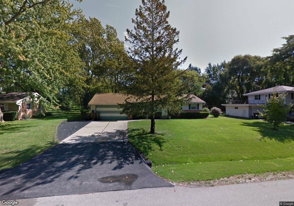
8548 N 62nd St Milwaukee, WI 53223
Estimated Value: $299,000 - $320,000
--
Bed
--
Bath
1,400
Sq Ft
$221/Sq Ft
Est. Value
About This Home
This home is located at 8548 N 62nd St, Milwaukee, WI 53223 and is currently estimated at $309,477, approximately $221 per square foot. 8548 N 62nd St is a home located in Milwaukee County with nearby schools including Brown Deer Elementary School, Brown Deer Middle/High School, and Institute of Technology and Academics.
Ownership History
Date
Name
Owned For
Owner Type
Purchase Details
Closed on
Oct 24, 2012
Sold by
Draves Lisa
Bought by
Edwards Paige
Current Estimated Value
Home Financials for this Owner
Home Financials are based on the most recent Mortgage that was taken out on this home.
Original Mortgage
$130,138
Interest Rate
3.38%
Mortgage Type
FHA
Purchase Details
Closed on
Jul 2, 2008
Sold by
Sajdowitz Mary
Bought by
Mary N Sajdowitz Revocable Trust
Create a Home Valuation Report for This Property
The Home Valuation Report is an in-depth analysis detailing your home's value as well as a comparison with similar homes in the area
Home Values in the Area
Average Home Value in this Area
Purchase History
| Date | Buyer | Sale Price | Title Company |
|---|---|---|---|
| Edwards Paige | $132,900 | None Available | |
| Mary N Sajdowitz Revocable Trust | -- | None Available |
Source: Public Records
Mortgage History
| Date | Status | Borrower | Loan Amount |
|---|---|---|---|
| Previous Owner | Edwards Paige | $130,138 |
Source: Public Records
Tax History Compared to Growth
Tax History
| Year | Tax Paid | Tax Assessment Tax Assessment Total Assessment is a certain percentage of the fair market value that is determined by local assessors to be the total taxable value of land and additions on the property. | Land | Improvement |
|---|---|---|---|---|
| 2024 | $4,966 | $256,200 | $39,500 | $216,700 |
| 2023 | $4,966 | -- | -- | -- |
| 2022 | $4,966 | $229,000 | $39,500 | $189,500 |
| 2021 | $4,735 | $197,400 | $39,500 | $157,900 |
| 2020 | $4,583 | $176,500 | $39,500 | $137,000 |
| 2019 | $4,289 | $144,700 | $39,500 | $105,200 |
| 2018 | $4,865 | $144,700 | $39,500 | $105,200 |
| 2017 | $4,046 | $144,700 | $39,500 | $105,200 |
| 2016 | $4,151 | $144,700 | $39,500 | $105,200 |
| 2015 | $4,249 | $144,700 | $39,500 | $105,200 |
| 2014 | $4,275 | $146,400 | $47,600 | $98,800 |
| 2013 | $4,382 | $146,400 | $47,600 | $98,800 |
Source: Public Records
Map
Nearby Homes
- 5878 W Range Ave
- 8680 N 63rd St
- 5734 W Range Ave
- 5665 W Range Ave
- 6297 W Villa Ln
- 6206 W Fairlane Ave
- 5650 W Wahner Ave Unit 206
- 5400 W Dean Rd
- 8498 N 68th St
- 8274 N 55th St
- 8608 N 53rd St
- 8707 N 52nd St
- 8025 N 62nd St
- 6901 W Greenbrook Ct
- 8657 N 72nd St
- 9150 N 60th St
- 7979 N 66th St
- 8657 N 73rd St
- 9125 N Brandybrook Trail
- 7871 N 60th St