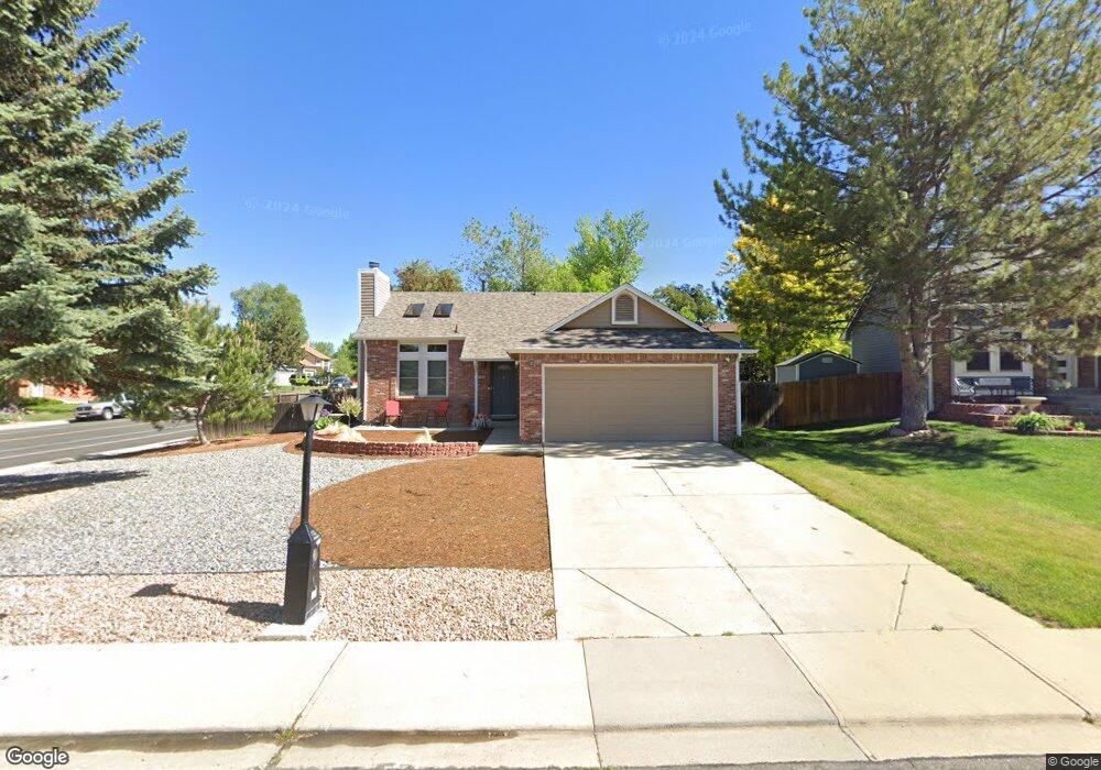
860 Buchanan Ln Longmont, CO 80504
Kensington NeighborhoodEstimated Value: $430,000 - $459,000
2
Beds
1
Bath
920
Sq Ft
$484/Sq Ft
Est. Value
About This Home
This home is located at 860 Buchanan Ln, Longmont, CO 80504 and is currently estimated at $445,231, approximately $483 per square foot. 860 Buchanan Ln is a home located in Boulder County with nearby schools including Rocky Mountain Elementary School, Trail Ridge Middle School, and Skyline High School.
Ownership History
Date
Name
Owned For
Owner Type
Purchase Details
Closed on
Jun 10, 2022
Sold by
Coleman David M and Coleman Francine Lee
Bought by
Coleman David M and Coleman Francine Lee
Current Estimated Value
Purchase Details
Closed on
Sep 13, 1985
Bought by
Coleman David M
Purchase Details
Closed on
Oct 16, 1984
Bought by
Coleman David M
Purchase Details
Closed on
Aug 6, 1982
Bought by
Coleman David M
Create a Home Valuation Report for This Property
The Home Valuation Report is an in-depth analysis detailing your home's value as well as a comparison with similar homes in the area
Home Values in the Area
Average Home Value in this Area
Purchase History
| Date | Buyer | Sale Price | Title Company |
|---|---|---|---|
| Coleman David M | -- | None Listed On Document | |
| Coleman David M | $82,000 | -- | |
| Coleman David M | $307,500 | -- | |
| Coleman David M | -- | -- | |
| Coleman David M | -- | -- |
Source: Public Records
Tax History Compared to Growth
Tax History
| Year | Tax Paid | Tax Assessment Tax Assessment Total Assessment is a certain percentage of the fair market value that is determined by local assessors to be the total taxable value of land and additions on the property. | Land | Improvement |
|---|---|---|---|---|
| 2025 | $1,673 | $25,950 | $11,131 | $14,819 |
| 2024 | $1,673 | $25,950 | $11,131 | $14,819 |
| 2023 | $1,650 | $24,187 | $12,261 | $15,611 |
| 2022 | $1,399 | $21,086 | $8,639 | $12,447 |
| 2021 | $2,114 | $21,693 | $8,887 | $12,806 |
| 2020 | $1,878 | $19,334 | $7,579 | $11,755 |
| 2019 | $1,848 | $19,334 | $7,579 | $11,755 |
| 2018 | $1,544 | $16,258 | $6,480 | $9,778 |
| 2017 | $1,523 | $17,974 | $7,164 | $10,810 |
| 2016 | $1,386 | $14,495 | $5,890 | $8,605 |
| 2015 | $1,320 | $11,828 | $3,900 | $7,928 |
| 2014 | $1,105 | $11,828 | $3,900 | $7,928 |
Source: Public Records
Map
Nearby Homes
- 884 Elliott St
- 741 Elliott St
- 811 Brookside Dr
- 756 Brookside Dr
- 225 E 8th Ave Unit E20
- 225 E 8th Ave Unit A2
- 225 E 8th Ave Unit E10
- 742 Megan Ct
- 908 Sugar Mill Ave
- 902 Sugar Mill Ave
- 712 Pendleton Ave
- 146 E Saint Clair Ave Unit 148
- 713 Pendleton Ave
- 618 Silver Star Ct
- 262 E 5th Ave
- 149 E 6th Ave
- 620 Independence Dr
- 1267 E 9th Ave
- 575 Brookside Dr
- 845 Martin St