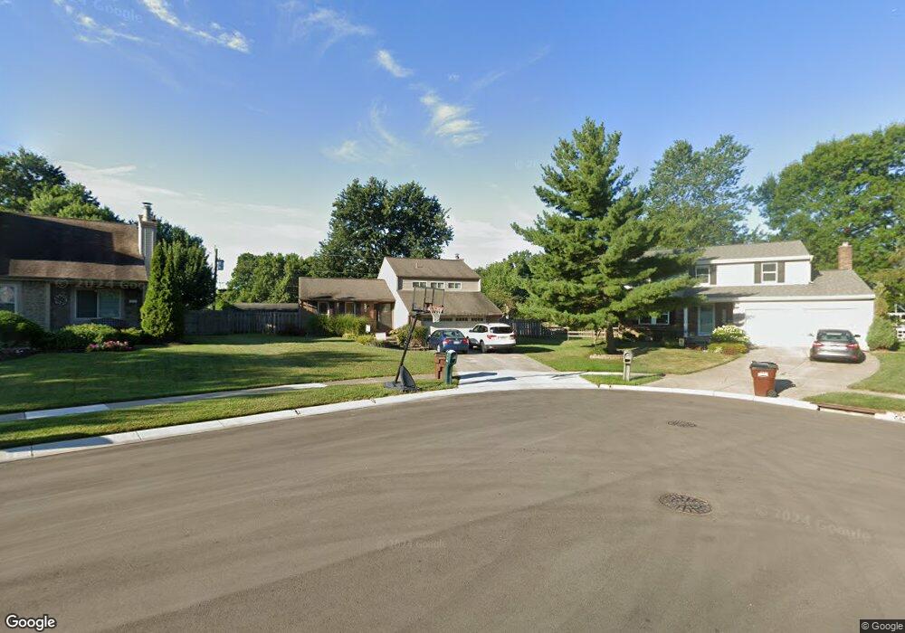
8609 Toronto Ct Cincinnati, OH 45255
Estimated Value: $315,000 - $355,000
About This Home
This home is located at 8609 Toronto Ct, Cincinnati, OH 45255 and is currently estimated at $332,779, approximately $219 per square foot. 8609 Toronto Ct is a home located in Hamilton County with nearby schools including Summit Elementary School, Nagel Middle School, and Anderson High School.
Ownership History
We collect this data history from publicly available records. To have your information removed, we recommend requesting removal directly through your county’s website.
Purchase Details
Home Financials for this Owner
Home Financials are based on the most recent Mortgage that was taken out on this home.Home Values in the Area
Average Home Value in this Area
Purchase History
We collect this data history from publicly available records. To have your information removed, we recommend requesting removal directly through your county’s website.
| Date | Buyer | Sale Price | Title Company |
|---|---|---|---|
| $138,500 | -- |
Mortgage History
We collect this data history from publicly available records. To have your information removed, we recommend requesting removal directly through your county’s website.
| Date | Status | Borrower | Loan Amount |
|---|---|---|---|
| Closed | $136,360 |
Tax History
We collect this data history from publicly available records. To have your information removed, we recommend requesting removal directly through your county’s website.
| Year | Tax Paid | Tax Assessment Tax Assessment Total Assessment is a certain percentage of the fair market value that is determined by local assessors to be the total taxable value of land and additions on the property. | Land | Improvement |
|---|---|---|---|---|
| 2025 | $5,447 | $87,046 | $13,458 | $73,588 |
| 2023 | $5,036 | $87,046 | $13,458 | $73,588 |
| 2022 | $3,832 | $58,948 | $11,701 | $47,247 |
| 2021 | $3,742 | $58,948 | $11,701 | $47,247 |
| 2020 | $3,785 | $58,948 | $11,701 | $47,247 |
| 2019 | $3,689 | $52,164 | $10,353 | $41,811 |
| 2018 | $3,456 | $52,164 | $10,353 | $41,811 |
| 2017 | $3,260 | $52,164 | $10,353 | $41,811 |
| 2016 | $2,949 | $46,082 | $10,147 | $35,935 |
| 2015 | $2,864 | $46,082 | $10,147 | $35,935 |
| 2014 | $2,866 | $46,082 | $10,147 | $35,935 |
| 2013 | $2,766 | $47,023 | $10,353 | $36,670 |
Map
- 8496 Coran Dr
- 1559 Rockhurst Ln
- 8592 Sunmont Dr
- 8586 Sunmont Dr
- 1138 White Pine Ct
- 1682 Citadel Place
- 8524 Sunmont Dr
- 1667 Clemson Cir
- 1251 Eight Mile Rd
- 8680 Bethany Ln
- 1728 Rockhurst Ln
- 1568 Tonopah Dr
- 496 Mapleleaf Dr
- 1581 Tonopah Dr
- 1400 Sigma Cir
- 8357 Richland Dr
- 1665 Tonopah Dr
- 1081 Oysterbay Dr
- 553 Old Orchard Dr
- 4009 Williams Dr
- 8617 Toronto Ct
- 8601 Toronto Ct
- 8618 Coran Dr
- 8608 Coran Dr
- 8626 Coran Dr
- 8602 Coran Dr
- 8625 Toronto Ct
- 8600 Toronto Ct
- 8632 Coran Dr
- 8594 Coran Dr
- 8608 Toronto Ct
- 8616 Toronto Ct
- 8633 Toronto Ct
- 8638 Coran Dr
- 8588 Coran Dr
- 8624 Toronto Ct
- 8581 Manitoba Dr
- 8641 Toronto Ct
- 8632 Toronto Ct
- 8589 Manitoba Dr
Ask me questions while you tour the home.