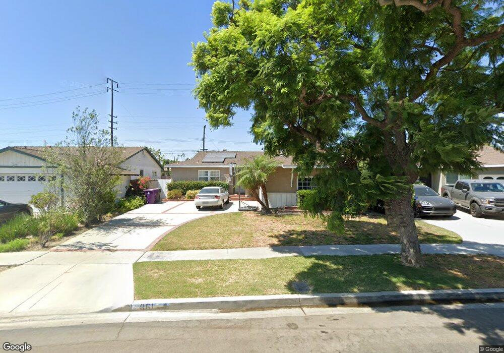
861 Lees Ave Long Beach, CA 90815
College Park Estates NeighborhoodEstimated Value: $1,131,737 - $1,294,000
4
Beds
2
Baths
1,587
Sq Ft
$752/Sq Ft
Est. Value
About This Home
This home is located at 861 Lees Ave, Long Beach, CA 90815 and is currently estimated at $1,193,684, approximately $752 per square foot. 861 Lees Ave is a home located in Los Angeles County with nearby schools including Kettering Elementary School, Rogers Middle School, and Woodrow Wilson High School.
Ownership History
Date
Name
Owned For
Owner Type
Purchase Details
Closed on
Jun 18, 1998
Sold by
Weinfeld Mark
Bought by
Osgood Timothy S and Osgood Jacqueline D
Current Estimated Value
Home Financials for this Owner
Home Financials are based on the most recent Mortgage that was taken out on this home.
Original Mortgage
$201,600
Outstanding Balance
$39,049
Interest Rate
7%
Estimated Equity
$1,154,635
Purchase Details
Closed on
Apr 19, 1997
Sold by
Weinfeld Mark
Bought by
Weinfeld Mark and Weinfeld Carol
Create a Home Valuation Report for This Property
The Home Valuation Report is an in-depth analysis detailing your home's value as well as a comparison with similar homes in the area
Home Values in the Area
Average Home Value in this Area
Purchase History
| Date | Buyer | Sale Price | Title Company |
|---|---|---|---|
| Osgood Timothy S | $252,000 | Orange Coast Title | |
| Weinfeld Mark | -- | -- |
Source: Public Records
Mortgage History
| Date | Status | Borrower | Loan Amount |
|---|---|---|---|
| Open | Osgood Timothy S | $201,600 |
Source: Public Records
Tax History
| Year | Tax Paid | Tax Assessment Tax Assessment Total Assessment is a certain percentage of the fair market value that is determined by local assessors to be the total taxable value of land and additions on the property. | Land | Improvement |
|---|---|---|---|---|
| 2025 | $5,402 | $395,037 | $268,535 | $126,502 |
| 2024 | $5,181 | $387,292 | $263,270 | $124,022 |
| 2023 | $5,100 | $379,699 | $258,108 | $121,591 |
| 2022 | $4,798 | $372,255 | $253,048 | $119,207 |
| 2021 | $4,704 | $364,957 | $248,087 | $116,870 |
| 2020 | $4,689 | $361,216 | $245,544 | $115,672 |
| 2019 | $4,634 | $354,134 | $240,730 | $113,404 |
| 2018 | $4,425 | $347,191 | $236,010 | $111,181 |
| 2016 | $4,062 | $333,711 | $226,847 | $106,864 |
| 2015 | $3,901 | $328,699 | $223,440 | $105,259 |
| 2014 | $3,875 | $322,262 | $219,064 | $103,198 |
Source: Public Records
Map
Nearby Homes
- 1032 Palo Verde Ave
- 6911 E 10th St
- 715 N Lariat Cir
- 6470 E Mantova St
- 6301 E Bixby Hill Rd
- 6272 Riviera Cir Unit 3
- 1401 Hackett Ave
- 6953 E Espanita St
- 6510 E Driscoll St
- 1075 Brookline Rd
- 451 Margo Ave
- 13180 Nassau Dr Unit 210D
- 13160 Nassau Dr Unit 211L
- 13160 Nassau Dr Unit 211H
- 13220 Nassau Dr
- 6976 E El Cedral St
- 451 Kakkis Dr Unit 101
- 1121 Northwood Rd Unit 237D M9
- 1240 Scioto Rd Unit 228F
- 1220 Scioto Rd