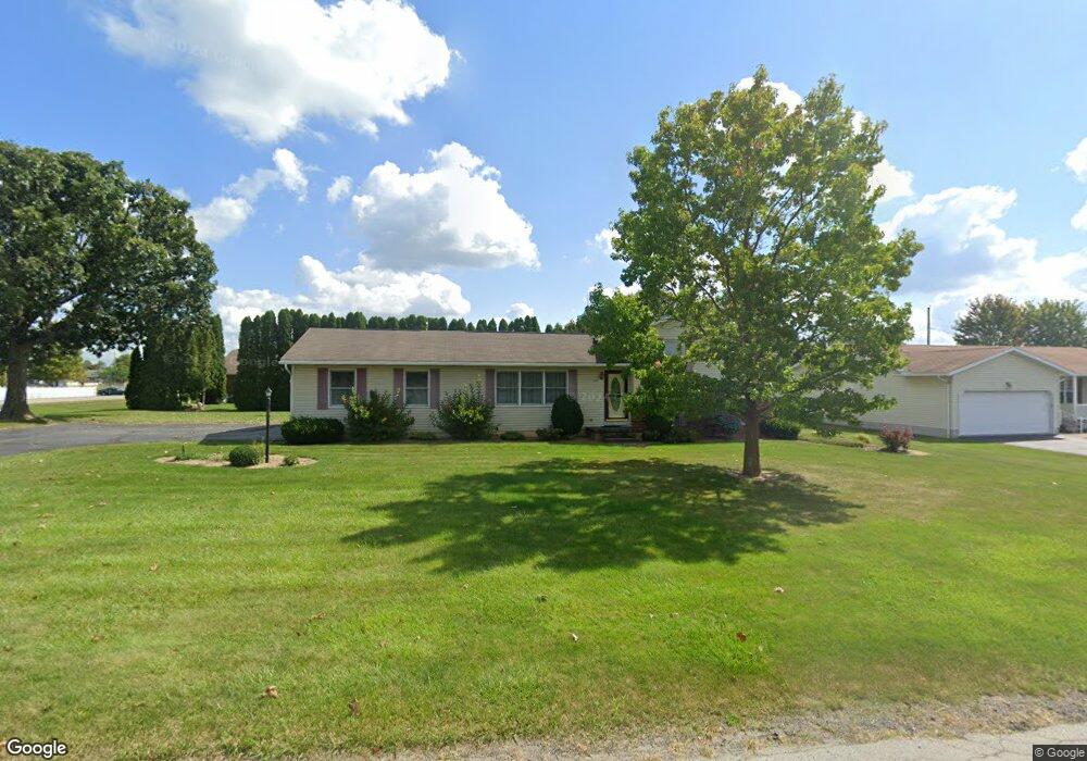
861 Terrace Dr Upper Sandusky, OH 43351
Estimated Value: $232,000 - $330,000
3
Beds
2
Baths
1,144
Sq Ft
$242/Sq Ft
Est. Value
About This Home
This home is located at 861 Terrace Dr, Upper Sandusky, OH 43351 and is currently estimated at $276,595, approximately $241 per square foot. 861 Terrace Dr is a home located in Wyandot County with nearby schools including Upper Sandusky High School and St. Peter Elementary School.
Ownership History
Date
Name
Owned For
Owner Type
Purchase Details
Closed on
Sep 5, 2007
Sold by
Smith David D
Bought by
Dyer Darrin A and Dyer Pamela J
Current Estimated Value
Home Financials for this Owner
Home Financials are based on the most recent Mortgage that was taken out on this home.
Original Mortgage
$121,500
Outstanding Balance
$77,162
Interest Rate
6.63%
Estimated Equity
$199,433
Create a Home Valuation Report for This Property
The Home Valuation Report is an in-depth analysis detailing your home's value as well as a comparison with similar homes in the area
Home Values in the Area
Average Home Value in this Area
Purchase History
| Date | Buyer | Sale Price | Title Company |
|---|---|---|---|
| Dyer Darrin A | $135,000 | None Available |
Source: Public Records
Mortgage History
| Date | Status | Borrower | Loan Amount |
|---|---|---|---|
| Open | Dyer Darrin A | $121,500 |
Source: Public Records
Tax History Compared to Growth
Tax History
| Year | Tax Paid | Tax Assessment Tax Assessment Total Assessment is a certain percentage of the fair market value that is determined by local assessors to be the total taxable value of land and additions on the property. | Land | Improvement |
|---|---|---|---|---|
| 2024 | $2,026 | $63,690 | $10,130 | $53,560 |
| 2023 | $2,026 | $63,690 | $10,130 | $53,560 |
| 2022 | $2,026 | $50,770 | $8,440 | $42,330 |
| 2021 | $1,691 | $50,770 | $8,440 | $42,330 |
| 2020 | $1,691 | $50,770 | $8,440 | $42,330 |
| 2019 | $1,688 | $50,770 | $8,440 | $42,330 |
| 2018 | $1,478 | $45,300 | $7,660 | $37,640 |
| 2017 | $1,502 | $45,300 | $7,660 | $37,640 |
| 2016 | $1,406 | $45,300 | $7,660 | $37,640 |
| 2015 | -- | $43,780 | $7,660 | $36,120 |
| 2014 | -- | $43,780 | $7,660 | $36,120 |
| 2013 | -- | $43,780 | $7,660 | $36,120 |
Source: Public Records
Map
Nearby Homes
- 606 Polaris Dr
- 324 Keller Ct
- 453 N 7th St
- 620 Mission Dr
- 386 W Finley St
- 230 E Bigelow St
- 334 N 4th St
- 314 N 4th St
- 137 N 8th St
- 116 E Walker St
- 435 Front St
- 0 State Route 53 & 67 Unit 11165687
- 225 S Hazel St
- 346 W Hicks St
- 213 E Johnson St
- 9768 Township Road 111
- 955 Greenbrier Rd
- 326 S 8th St
- 305 S 5th St
- 123 Rivers Edge Ln
- 859 Terrace Dr
- 716 Chestnut Dr Unit 8
- 716 Chestnut Dr
- 716 Chestnut Dr Unit 8
- 718 Chestnut Dr
- 726 Chestnut Dr
- 714 Chestnut Dr
- 712 Chestnut Dr
- 710 Chestnut Dr
- 864 Terrace Dr
- 857 Terrace Dr
- 708 Chestnut Dr Unit B
- 708 Chestnut Dr Unit A
- 708A Chestnut Dr
- 708 Chestnut Dr
- 708B Chestnut Dr
- 860 Terrace Dr
- 855 Terrace Dr
- 729 Chestnut Dr
- 725 Chestnut Dr