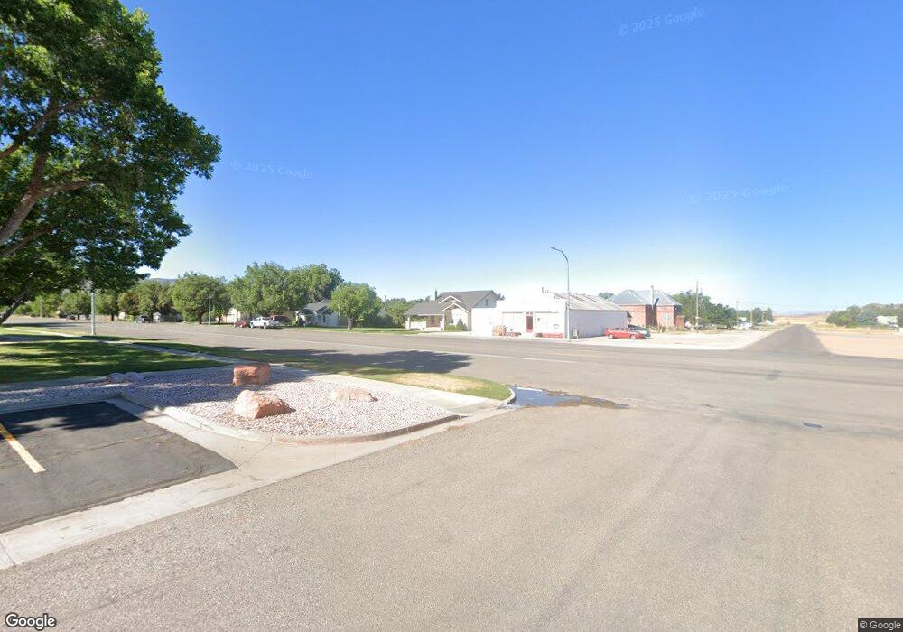
8610 S Six Mile Rd Kanosh, UT 84637
Estimated Value: $581,000 - $801,049
--
Bed
--
Bath
--
Sq Ft
11.18
Acres
About This Home
This home is located at 8610 S Six Mile Rd, Kanosh, UT 84637 and is currently estimated at $691,025. 8610 S Six Mile Rd is a home.
Ownership History
Date
Name
Owned For
Owner Type
Purchase Details
Closed on
Feb 2, 2022
Sold by
Barton Roy M
Bought by
Roy & Janet Barton Family Trust
Current Estimated Value
Purchase Details
Closed on
Jul 22, 2013
Sold by
Durrant Dian
Bought by
Barton Roy M
Home Financials for this Owner
Home Financials are based on the most recent Mortgage that was taken out on this home.
Original Mortgage
$249,500
Interest Rate
3.92%
Create a Home Valuation Report for This Property
The Home Valuation Report is an in-depth analysis detailing your home's value as well as a comparison with similar homes in the area
Home Values in the Area
Average Home Value in this Area
Purchase History
| Date | Buyer | Sale Price | Title Company |
|---|---|---|---|
| Roy & Janet Barton Family Trust | -- | Westwood Law Pc | |
| Barton Roy M | -- | -- |
Source: Public Records
Mortgage History
| Date | Status | Borrower | Loan Amount |
|---|---|---|---|
| Previous Owner | Barton Roy M | $249,500 |
Source: Public Records
Tax History Compared to Growth
Tax History
| Year | Tax Paid | Tax Assessment Tax Assessment Total Assessment is a certain percentage of the fair market value that is determined by local assessors to be the total taxable value of land and additions on the property. | Land | Improvement |
|---|---|---|---|---|
| 2024 | $4,509 | $557,466 | $18,565 | $538,901 |
| 2023 | $4,509 | $557,466 | $18,565 | $538,901 |
| 2022 | $3,345 | $320,237 | $18,575 | $301,662 |
| 2021 | $2,934 | $271,274 | $16,824 | $254,450 |
| 2020 | $2,486 | $232,778 | $16,793 | $215,985 |
| 2019 | $2,310 | $218,089 | $16,864 | $201,225 |
| 2018 | $2,301 | $222,894 | $17,424 | $205,470 |
| 2017 | $2,375 | $219,665 | $14,195 | $205,470 |
| 2016 | $2,265 | $219,665 | $14,195 | $205,470 |
| 2015 | $1,737 | $168,405 | $8,800 | $159,605 |
| 2014 | -- | $168,690 | $8,800 | $159,890 |
| 2013 | -- | $169,037 | $8,800 | $160,237 |
Source: Public Records
Map
Nearby Homes
- 8610 S Highway 91
- 15 W 200 S
- 115 W 200 S
- 135 E 200 N
- 339 N 100 Rd W
- 453 N 100 West Rd
- 5098 W Hatton Rd
- Parcel # 8816
- 10 S Main St
- 60 W Center St
- 50 N 100 Rd E
- 2970 N Mud Spring Hollow Rd Unit LotWP001
- 0 Tbd Black Rock Rd Unit LotWP001
- 1615 W Sunflower Ln Unit 4
- 1565 W Sunflower Ln Unit 3
- 1765 W Sunflower Ln Unit 7
- 2000 N West Frontage I-15
- 1100 S 725 Rd W
- 190 W 400 St S
- 760 E 700 St S
