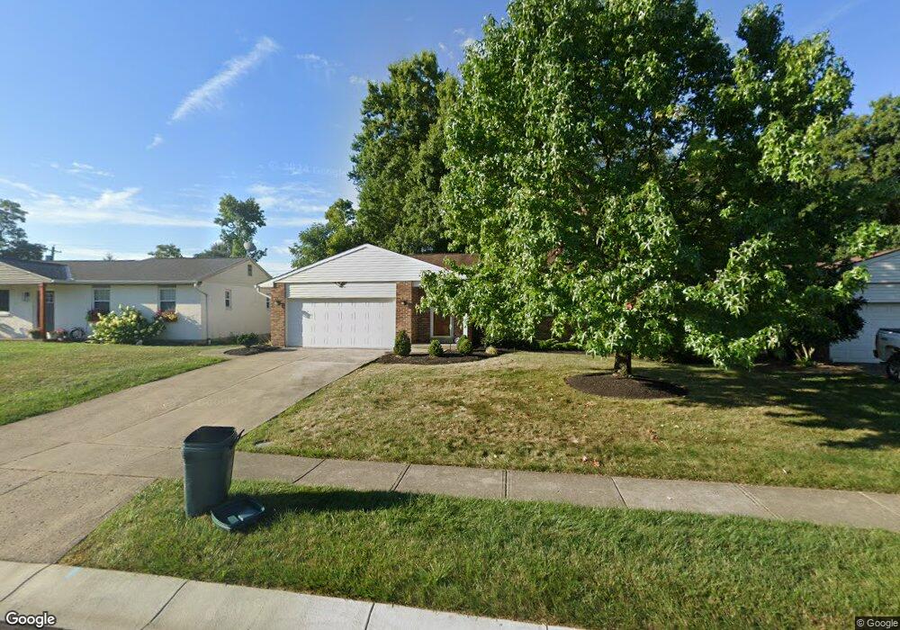
8617 Coran Dr Cincinnati, OH 45255
Estimated Value: $331,289 - $338,000
3
Beds
3
Baths
1,380
Sq Ft
$243/Sq Ft
Est. Value
About This Home
This home is located at 8617 Coran Dr, Cincinnati, OH 45255 and is currently estimated at $335,322, approximately $242 per square foot. 8617 Coran Dr is a home located in Hamilton County with nearby schools including Summit Elementary School, Nagel Middle School, and Anderson High School.
Ownership History
Date
Name
Owned For
Owner Type
Purchase Details
Closed on
Aug 29, 2007
Sold by
Brown Pauline P
Bought by
Philipps Marcia C
Current Estimated Value
Home Financials for this Owner
Home Financials are based on the most recent Mortgage that was taken out on this home.
Original Mortgage
$142,720
Outstanding Balance
$89,387
Interest Rate
6.72%
Mortgage Type
Unknown
Estimated Equity
$245,935
Create a Home Valuation Report for This Property
The Home Valuation Report is an in-depth analysis detailing your home's value as well as a comparison with similar homes in the area
Home Values in the Area
Average Home Value in this Area
Purchase History
| Date | Buyer | Sale Price | Title Company |
|---|---|---|---|
| Philipps Marcia C | $178,400 | Attorney |
Source: Public Records
Mortgage History
| Date | Status | Borrower | Loan Amount |
|---|---|---|---|
| Open | Philipps Marcia C | $142,720 |
Source: Public Records
Tax History
| Year | Tax Paid | Tax Assessment Tax Assessment Total Assessment is a certain percentage of the fair market value that is determined by local assessors to be the total taxable value of land and additions on the property. | Land | Improvement |
|---|---|---|---|---|
| 2025 | $5,980 | $95,596 | $17,073 | $78,523 |
| 2024 | $5,812 | $95,596 | $17,073 | $78,523 |
| 2023 | $5,528 | $95,596 | $17,073 | $78,523 |
| 2022 | $4,240 | $65,251 | $14,840 | $50,411 |
| 2021 | $4,140 | $65,251 | $14,840 | $50,411 |
| 2020 | $4,188 | $65,251 | $14,840 | $50,411 |
| 2019 | $4,082 | $57,743 | $13,132 | $44,611 |
| 2018 | $3,824 | $57,743 | $13,132 | $44,611 |
| 2017 | $3,607 | $57,743 | $13,132 | $44,611 |
| 2016 | $3,396 | $53,106 | $12,870 | $40,236 |
| 2015 | $3,299 | $53,106 | $12,870 | $40,236 |
| 2014 | $3,301 | $53,106 | $12,870 | $40,236 |
| 2013 | $3,185 | $54,191 | $13,132 | $41,059 |
Source: Public Records
Map
Nearby Homes
- 4077 Mclean Dr
- 4047 Mclean Dr
- 8512 Prilla Ln
- 1333 Eight Mile Rd
- 8345 Cherry Ln
- 492 Mapleleaf Dr
- 492 Mapleport Way
- 496 Mapleleaf Dr
- 1747 Summithills Dr
- 1400 Sigma Cir
- 8303 Tidewater Ct
- 439 Mcintosh Dr
- 425 Mcintosh Dr Unit 22A
- 8488 Holiday Hills Dr
- 1847 Eight Mile Rd
- 8190 Bonanza Ln
- 532 Sugar Maple Ct
- 1125 Wittshire Ln Unit 130
- 3904 Columbard Ln
- 0 Clough Pike Unit 1861584
Your Personal Tour Guide
Ask me questions while you tour the home.