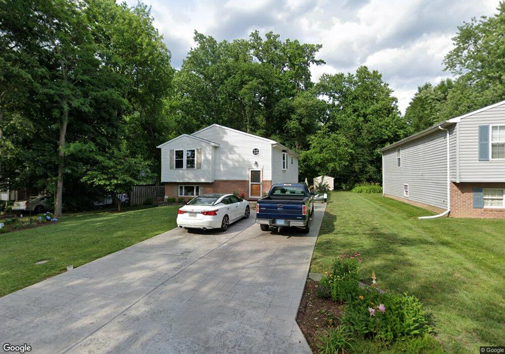
8623 Tall Oaks Rd Sparrows Point, MD 21219
Estimated Value: $327,286 - $390,000
--
Bed
2
Baths
1,204
Sq Ft
$294/Sq Ft
Est. Value
About This Home
This home is located at 8623 Tall Oaks Rd, Sparrows Point, MD 21219 and is currently estimated at $353,572, approximately $293 per square foot. 8623 Tall Oaks Rd is a home located in Baltimore County with nearby schools including Chesapeake Terrace Elementary School, Sparrows Point Middle School, and Sparrows Point High School.
Ownership History
Date
Name
Owned For
Owner Type
Purchase Details
Closed on
Aug 31, 2013
Sold by
Debus Rebecca S and Debus Ronald K
Bought by
Debus Robert S and Debus Ronald K
Current Estimated Value
Purchase Details
Closed on
Jun 29, 2009
Sold by
Parvizimotlagh Rebecca S
Bought by
Debus Rebecca S and Debus Ronald K
Purchase Details
Closed on
Apr 1, 1999
Sold by
Rrig Corporation
Bought by
Parvizimotlagh Rebecca S
Create a Home Valuation Report for This Property
The Home Valuation Report is an in-depth analysis detailing your home's value as well as a comparison with similar homes in the area
Home Values in the Area
Average Home Value in this Area
Purchase History
| Date | Buyer | Sale Price | Title Company |
|---|---|---|---|
| Debus Robert S | -- | None Available | |
| Debus Rebecca S | -- | -- | |
| Parvizimotlagh Rebecca S | $119,900 | -- |
Source: Public Records
Tax History Compared to Growth
Tax History
| Year | Tax Paid | Tax Assessment Tax Assessment Total Assessment is a certain percentage of the fair market value that is determined by local assessors to be the total taxable value of land and additions on the property. | Land | Improvement |
|---|---|---|---|---|
| 2025 | $3,510 | $241,667 | -- | -- |
| 2024 | $3,510 | $227,333 | $0 | $0 |
| 2023 | $1,703 | $213,000 | $74,100 | $138,900 |
| 2022 | $3,416 | $205,667 | $0 | $0 |
| 2021 | $3,129 | $198,333 | $0 | $0 |
| 2020 | $3,129 | $191,000 | $74,100 | $116,900 |
| 2019 | $2,911 | $187,033 | $0 | $0 |
| 2018 | $2,924 | $183,067 | $0 | $0 |
| 2017 | $2,756 | $179,100 | $0 | $0 |
| 2016 | $2,536 | $179,100 | $0 | $0 |
| 2015 | $2,536 | $179,100 | $0 | $0 |
| 2014 | $2,536 | $180,900 | $0 | $0 |
Source: Public Records
Map
Nearby Homes
- 8610 Oak Rd
- 8111 Dogwood Rd
- 28 Shore Rd
- 7708 S Cove Rd
- 2409 Woodridge Rd
- 2122 Lodge Forest Dr
- 2322 Lodge Forest Dr
- 2217 Lodge Farm Rd
- 2924 Waterfront Way
- 2918 Waterfront Way
- 2408 Lodge Farm Rd
- 0 Lodge Farm Rd
- 7428 Bay Front Rd
- 2400 Lincoln Ave Unit 2
- 2400 Lincoln Ave Unit 15
- 7349 Hughes Ave
- 2904 Shaws Rd
- 7340 Hughes Ave
- 2424 Suncrest Rd
- 2703 Sparrows Point Rd