8629 County Road 12 1 Wauseon, OH 43567
Estimated Value: $280,000 - $332,000
2
Beds
2
Baths
1,671
Sq Ft
$188/Sq Ft
Est. Value
About This Home
This home is located at 8629 County Road 12 1, Wauseon, OH 43567 and is currently estimated at $313,573, approximately $187 per square foot. 8629 County Road 12 1 is a home located in Fulton County with nearby schools including Delta Elementary School, Pike-Delta-York Middle School, and Pike-Delta-York High School.
Ownership History
Date
Name
Owned For
Owner Type
Purchase Details
Closed on
Apr 30, 2022
Sold by
Burkholder Karen J
Bought by
Irrevocable Trust
Current Estimated Value
Purchase Details
Closed on
Aug 21, 2015
Sold by
Burkholder Dennis E and Burkholder Karen J
Bought by
Burkholder Dennis E and Burkholder Karen J
Purchase Details
Closed on
Jan 1, 1990
Bought by
Burkholder Dennis E And
Create a Home Valuation Report for This Property
The Home Valuation Report is an in-depth analysis detailing your home's value as well as a comparison with similar homes in the area
Home Values in the Area
Average Home Value in this Area
Purchase History
| Date | Buyer | Sale Price | Title Company |
|---|---|---|---|
| Irrevocable Trust | -- | Winzeler & Bok Ltd | |
| Burkholder Dennis E | -- | Attorney | |
| Burkholder Dennis E And | -- | -- |
Source: Public Records
Tax History Compared to Growth
Tax History
| Year | Tax Paid | Tax Assessment Tax Assessment Total Assessment is a certain percentage of the fair market value that is determined by local assessors to be the total taxable value of land and additions on the property. | Land | Improvement |
|---|---|---|---|---|
| 2024 | $3,856 | $97,900 | $20,130 | $77,770 |
| 2023 | $3,860 | $97,900 | $20,130 | $77,770 |
| 2022 | $3,174 | $72,320 | $16,770 | $55,550 |
| 2021 | $3,714 | $72,320 | $16,770 | $55,550 |
| 2020 | $3,722 | $72,320 | $16,770 | $55,550 |
| 2019 | $3,246 | $66,090 | $14,110 | $51,980 |
| 2018 | $3,054 | $66,090 | $14,110 | $51,980 |
| 2017 | $3,054 | $66,090 | $14,110 | $51,980 |
| 2016 | $2,913 | $56,880 | $14,110 | $42,770 |
| 2015 | $2,748 | $56,880 | $14,110 | $42,770 |
| 2014 | $2,735 | $56,880 | $14,110 | $42,770 |
| 2013 | $2,764 | $56,780 | $11,870 | $44,910 |
Source: Public Records
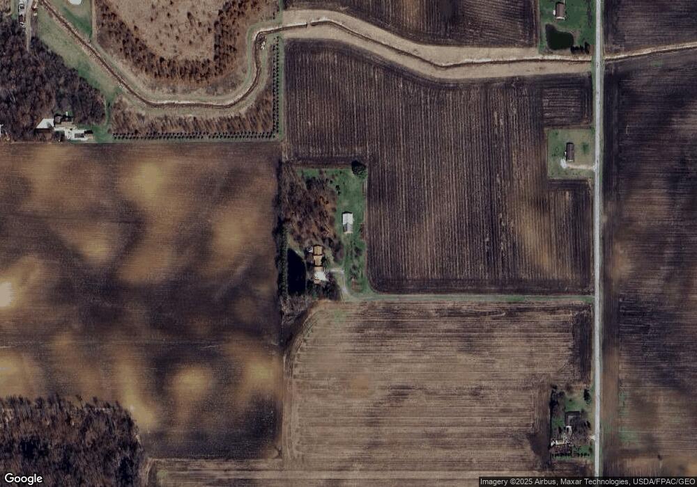
Map
Nearby Homes
- 8453 County Road 13
- 0 County Road H
- 7620 County Road 12
- 7373 County Road 12
- 13242 Us Highway 20a
- 13354 U S 20a
- 460 Airport Hwy
- 1209 Apache Dr
- 11715 County Road L
- 14900 County Road H
- 14900 W Co Rd H
- Integrity 1830 Plan at Arrowhead Trails
- integrity 2280 Plan at Arrowhead Trails
- Integrity 2080 Plan at Arrowhead Trails
- 1090 Seneca Dr
- 1062 Seneca Dr
- 1058 Seneca Dr
- 1066 Seneca Dr
- 14578 Us Highway 20a
- 11517 County Road 11
- 8711 County Road 12 1
- 12675 County Road J
- 8529 County Road 12 1
- 8851 County Road 12
- 8851 County Road 12 1
- 12745 County Road J
- 12645 County Road J
- 12463 County Road J
- 8985 County Road 12 1
- 12495 County Road J
- 12541 County Road J
- 8446 County Road 12 1
- 8044 County Road 12 1
- 12642 County Road J
- 12785 County Road J
- 12180 County Road J
- 8566 County Road 13
- 8520 County Road 13
- 12112 County Road J
- 12007 County Road J