Estimated Value: $307,000 - $367,000
4
Beds
3
Baths
2,598
Sq Ft
$132/Sq Ft
Est. Value
About This Home
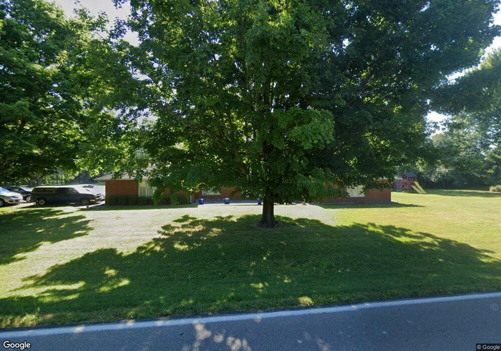
This home is located at 865 Barnhart Rd, Troy, OH 45373 and is currently estimated at $343,945, approximately $132 per square foot. 865 Barnhart Rd is a home located in Miami County with nearby schools including Concord Elementary School, Van Cleve Elementary School, and Troy Junior High School.
Ownership History
Date
Name
Owned For
Owner Type
Purchase Details
Closed on
Jun 25, 2010
Sold by
Evert Shirley P
Bought by
Hall Brian Michael and Hall Cynthia Ann
Current Estimated Value
Purchase Details
Closed on
Sep 10, 2009
Sold by
Evert Shirley P
Bought by
Evert Shirley P
Purchase Details
Closed on
Jul 5, 2000
Sold by
Evert Roy H and Evert Shirley P
Bought by
Evert Roy H and Evert Shirley P
Purchase Details
Closed on
Jan 1, 1990
Bought by
Evert Roy H
Create a Home Valuation Report for This Property
The Home Valuation Report is an in-depth analysis detailing your home's value as well as a comparison with similar homes in the area
Purchase History
| Date | Buyer | Sale Price | Title Company |
|---|---|---|---|
| Hall Brian Michael | $120,000 | -- | |
| Evert Shirley P | -- | -- | |
| Evert Roy H | -- | -- | |
| Evert Roy H | -- | -- |
Source: Public Records
Tax History
| Year | Tax Paid | Tax Assessment Tax Assessment Total Assessment is a certain percentage of the fair market value that is determined by local assessors to be the total taxable value of land and additions on the property. | Land | Improvement |
|---|---|---|---|---|
| 2025 | $2,976 | $83,410 | $13,300 | $70,110 |
| 2024 | $2,976 | $78,610 | $14,420 | $64,190 |
| 2023 | $3,058 | $78,610 | $14,420 | $64,190 |
| 2022 | $2,561 | $78,610 | $14,420 | $64,190 |
| 2021 | $2,100 | $60,490 | $11,100 | $49,390 |
| 2020 | $2,102 | $60,490 | $11,100 | $49,390 |
| 2019 | $2,165 | $60,490 | $11,100 | $49,390 |
| 2018 | $2,077 | $56,420 | $11,970 | $44,450 |
| 2017 | $2,097 | $56,420 | $11,970 | $44,450 |
| 2016 | $2,067 | $56,420 | $11,970 | $44,450 |
| 2015 | $1,992 | $52,260 | $11,100 | $41,160 |
| 2014 | $1,992 | $52,260 | $11,100 | $41,160 |
| 2013 | $2,005 | $52,260 | $11,100 | $41,160 |
Source: Public Records
Map
Nearby Homes
- 612 Barnhart Rd
- 535 Barnhart Rd
- 2024 State Route 718
- 606 Barnhart Rd
- 536 Barnhart Rd
- 1481 Lantern Ln
- 1479 Lantern Ln Unit 1479
- 1345 Kenton Way
- 2586 Renwick Way
- 1426 Paul Revere Way Unit B
- 1426 Paul Revere Way Unit D
- 1985 Fox Run
- 340 S Dorset Rd
- 1212 Spruce St
- 410 Armand Dr
- 2863 Netherfield Cir
- 2813 Amberwood Dr
- 1201 Maple St
- 1173 Parkview Dr
- 2391 Girard Ln W
- 1960 Woodlawn Dr
- 874 Barnhart Rd
- 852 Barnhart Rd
- 909 Barnhart Rd
- 1940 Woodlawn Dr
- 1985 Fenner Rd
- 906 Barnhart Rd
- 1975 Woodlawn Dr
- 1955 Fenner Rd
- 2033 Fenner Rd
- 1900 Woodlawn Dr
- 2055 Fenner Rd
- 1925 Fenner Rd
- 790 Barnhart Rd
- 1915 Woodlawn Dr
- 10010 Edgewood Dr
- 1890 Woodlawn Dr
- 755 Barnhart Rd
- 2077 Fenner Rd
- 1905 Fenner Rd
Your Personal Tour Guide
Ask me questions while you tour the home.