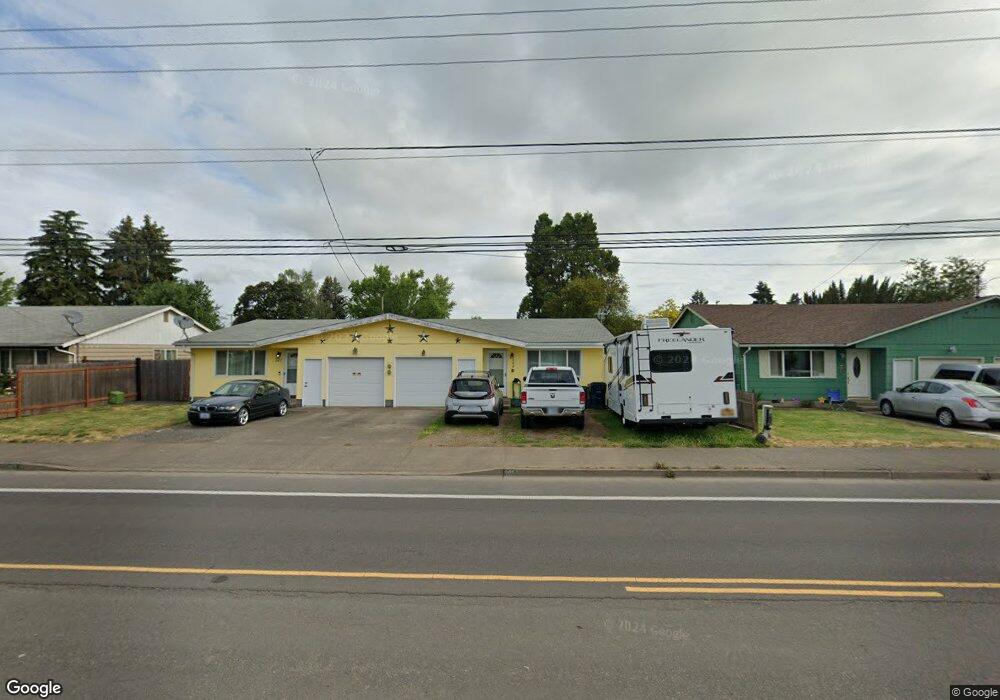
865 Maxwell Rd Eugene, OR 97404
River Road NeighborhoodEstimated Value: $420,000 - $487,682
4
Beds
2
Baths
1,948
Sq Ft
$239/Sq Ft
Est. Value
About This Home
This home is located at 865 Maxwell Rd, Eugene, OR 97404 and is currently estimated at $464,671, approximately $238 per square foot. 865 Maxwell Rd is a home located in Lane County with nearby schools including Howard Elementary School, Kelly Middle School, and North Eugene High School.
Ownership History
Date
Name
Owned For
Owner Type
Purchase Details
Closed on
Jun 16, 2010
Sold by
Capps Brenda C
Bought by
Capps Brenda C and Morris Mary M
Current Estimated Value
Home Financials for this Owner
Home Financials are based on the most recent Mortgage that was taken out on this home.
Original Mortgage
$184,007
Outstanding Balance
$122,240
Interest Rate
4.87%
Mortgage Type
FHA
Estimated Equity
$342,431
Purchase Details
Closed on
Oct 23, 2009
Sold by
Whitehead Harry J
Bought by
Capps Brenda C
Home Financials for this Owner
Home Financials are based on the most recent Mortgage that was taken out on this home.
Original Mortgage
$174,775
Interest Rate
5.05%
Mortgage Type
FHA
Purchase Details
Closed on
Mar 30, 2005
Sold by
Miller Nicholaos William
Bought by
Whitehead Harry J
Home Financials for this Owner
Home Financials are based on the most recent Mortgage that was taken out on this home.
Original Mortgage
$123,750
Interest Rate
8.99%
Mortgage Type
Fannie Mae Freddie Mac
Create a Home Valuation Report for This Property
The Home Valuation Report is an in-depth analysis detailing your home's value as well as a comparison with similar homes in the area
Home Values in the Area
Average Home Value in this Area
Purchase History
| Date | Buyer | Sale Price | Title Company |
|---|---|---|---|
| Capps Brenda C | -- | Cascade Title Co | |
| Capps Brenda C | $178,000 | Evergreen Land Title Company | |
| Whitehead Harry J | $165,000 | Western Pioneer Title Co |
Source: Public Records
Mortgage History
| Date | Status | Borrower | Loan Amount |
|---|---|---|---|
| Open | Capps Brenda C | $184,007 | |
| Closed | Capps Brenda C | $174,775 | |
| Previous Owner | Whitehead Harry J | $123,750 |
Source: Public Records
Tax History
| Year | Tax Paid | Tax Assessment Tax Assessment Total Assessment is a certain percentage of the fair market value that is determined by local assessors to be the total taxable value of land and additions on the property. | Land | Improvement |
|---|---|---|---|---|
| 2025 | $4,052 | $241,223 | -- | -- |
| 2024 | $4,009 | $234,198 | -- | -- |
| 2023 | $4,009 | $227,377 | $0 | $0 |
| 2022 | $3,770 | $220,755 | $0 | $0 |
| 2021 | $3,506 | $214,326 | $0 | $0 |
| 2020 | $3,311 | $208,084 | $0 | $0 |
| 2019 | $3,142 | $202,024 | $0 | $0 |
| 2018 | $2,847 | $190,427 | $0 | $0 |
| 2017 | $2,729 | $190,427 | $0 | $0 |
| 2016 | $2,625 | $184,881 | $0 | $0 |
| 2015 | $2,590 | $179,496 | $0 | $0 |
| 2014 | $2,602 | $174,268 | $0 | $0 |
Source: Public Records
Map
Nearby Homes
- 1682 Hemlock St
- 1755 Brentwood Ave
- 1566 Maywood Ave
- 1307 Bramblewood Ln
- 389 Maxwell Rd
- 1880 Manihi Dr
- 1314 Dalton Dr
- 401 Sterling Dr
- 541 Durham Ave
- 788 Cornwall Ave
- 2002 Kintyre St
- 303 Lenore Loop
- 1487 Barton St
- 1483 Barton St
- 2563 York St
- 2439 Quince St
- 1360 Andersen Ln
- 1164 Veronica Ln
- 2488 Northampton
- 3717 Riviera
Your Personal Tour Guide
Ask me questions while you tour the home.