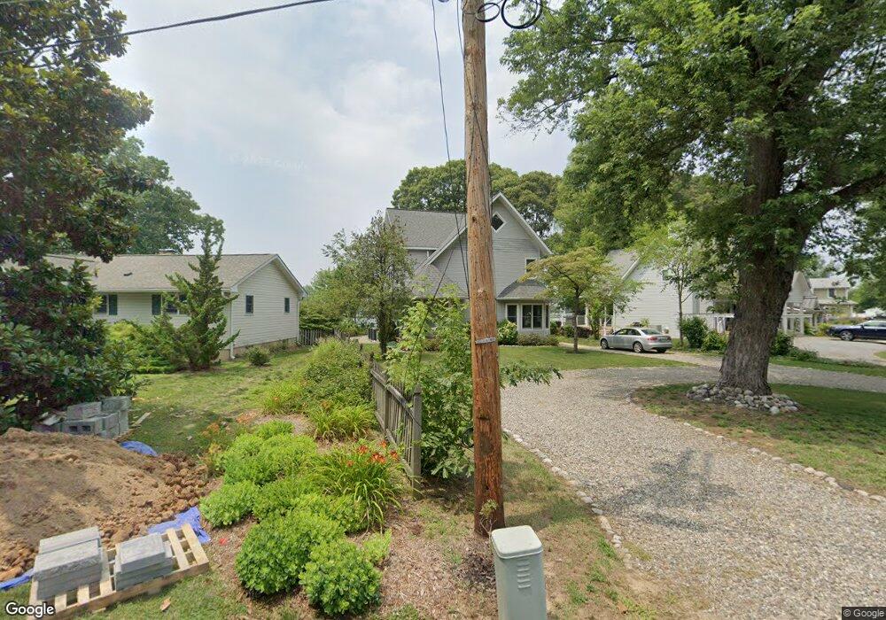
866 Doris Dr Arnold, MD 21012
Estimated Value: $967,000 - $1,155,000
4
Beds
3
Baths
2,673
Sq Ft
$392/Sq Ft
Est. Value
About This Home
This home is located at 866 Doris Dr, Arnold, MD 21012 and is currently estimated at $1,046,816, approximately $391 per square foot. 866 Doris Dr is a home located in Anne Arundel County with nearby schools including Belvedere Elementary School, Severn River Middle School, and Broadneck High School.
Ownership History
Date
Name
Owned For
Owner Type
Purchase Details
Closed on
Jan 31, 2011
Sold by
Floyd James L
Bought by
Dean Richard W
Current Estimated Value
Home Financials for this Owner
Home Financials are based on the most recent Mortgage that was taken out on this home.
Original Mortgage
$450,562
Outstanding Balance
$308,894
Interest Rate
4.82%
Mortgage Type
VA
Estimated Equity
$737,922
Purchase Details
Closed on
Jan 14, 2011
Sold by
Floyd James L
Bought by
Dean Richard W
Home Financials for this Owner
Home Financials are based on the most recent Mortgage that was taken out on this home.
Original Mortgage
$450,562
Outstanding Balance
$308,894
Interest Rate
4.82%
Mortgage Type
VA
Estimated Equity
$737,922
Purchase Details
Closed on
Sep 22, 1992
Sold by
Allen Grace E
Bought by
Floyd James L
Home Financials for this Owner
Home Financials are based on the most recent Mortgage that was taken out on this home.
Original Mortgage
$140,000
Interest Rate
7.89%
Create a Home Valuation Report for This Property
The Home Valuation Report is an in-depth analysis detailing your home's value as well as a comparison with similar homes in the area
Home Values in the Area
Average Home Value in this Area
Purchase History
| Date | Buyer | Sale Price | Title Company |
|---|---|---|---|
| Dean Richard W | $535,000 | -- | |
| Dean Richard W | $535,000 | -- | |
| Floyd James L | $200,000 | -- |
Source: Public Records
Mortgage History
| Date | Status | Borrower | Loan Amount |
|---|---|---|---|
| Open | Dean Richard W | $450,562 | |
| Closed | Dean Richard W | $450,562 | |
| Previous Owner | Floyd James L | $140,000 |
Source: Public Records
Tax History
| Year | Tax Paid | Tax Assessment Tax Assessment Total Assessment is a certain percentage of the fair market value that is determined by local assessors to be the total taxable value of land and additions on the property. | Land | Improvement |
|---|---|---|---|---|
| 2025 | $6,730 | $851,567 | -- | -- |
| 2024 | $6,730 | $761,800 | $555,800 | $206,000 |
| 2023 | $6,560 | $739,433 | $0 | $0 |
| 2022 | $6,154 | $717,067 | $0 | $0 |
| 2020 | $5,870 | $660,767 | $0 | $0 |
| 2019 | $5,547 | $626,833 | $0 | $0 |
| 2018 | $6,012 | $592,900 | $486,600 | $106,300 |
| 2017 | $5,587 | $542,100 | $0 | $0 |
| 2016 | -- | $491,300 | $0 | $0 |
| 2015 | -- | $440,500 | $0 | $0 |
| 2014 | -- | $440,500 | $0 | $0 |
Source: Public Records
Map
Nearby Homes
- 856 Imperial Rd
- 854 Imperial Rd
- 857 Birchwood Ct
- 852 Birchwood Ct
- 413 Ridgeview Ct
- 406 Elmwood Ct
- 797 David Dr
- 404 Alameda Pkwy
- 342 Buena Vista Ave
- 805 Barrett Ave
- 319 Alameda Pkwy
- 889 Lynch Dr
- 746 Match Point Dr
- 836 Mill Creek Rd
- 243 and 245 Haverton Rd
- 308 Clifton Ave
- 930 Whitstable Blvd
- 554 Melissa Ct
- 1176 White Coral Ct
- 303 Ternwing Dr
Your Personal Tour Guide
Ask me questions while you tour the home.