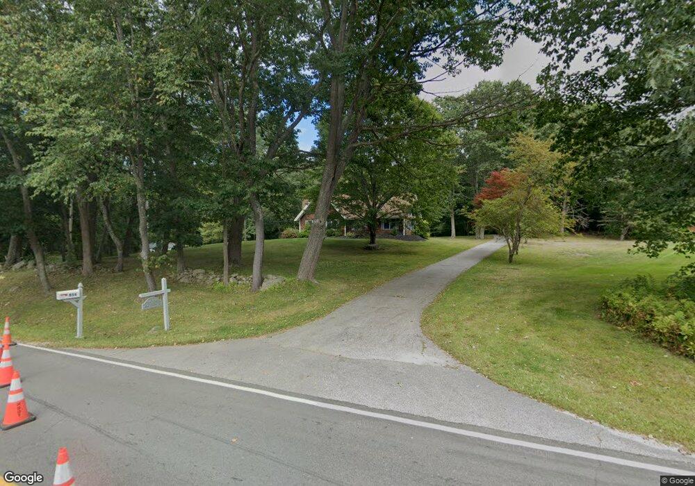
866 Goodwin Rd Eliot, ME 03903
East Eliot NeighborhoodEstimated Value: $634,559 - $925,000
2
Beds
2
Baths
1,964
Sq Ft
$373/Sq Ft
Est. Value
About This Home
This home is located at 866 Goodwin Rd, Eliot, ME 03903 and is currently estimated at $732,640, approximately $373 per square foot. 866 Goodwin Rd is a home located in York County with nearby schools including Marshwood High School and Seacoast Waldorf School.
Ownership History
Date
Name
Owned For
Owner Type
Purchase Details
Closed on
Mar 4, 2025
Sold by
Nudd Thomas A and Kane Mary A
Bought by
Nudd Thomas R
Current Estimated Value
Purchase Details
Closed on
Mar 15, 2022
Sold by
Kane Maryann
Bought by
Green Erik D and Hlynka Karina
Purchase Details
Closed on
Jun 25, 2008
Sold by
Nudd Maryann K
Bought by
Nudd Maryann K and Nudd Thomas A
Purchase Details
Closed on
May 18, 2005
Sold by
Nudd Maryann K and Kane William R
Bought by
Nudd Maryann K
Create a Home Valuation Report for This Property
The Home Valuation Report is an in-depth analysis detailing your home's value as well as a comparison with similar homes in the area
Home Values in the Area
Average Home Value in this Area
Purchase History
| Date | Buyer | Sale Price | Title Company |
|---|---|---|---|
| Nudd Thomas R | -- | None Available | |
| Nudd Thomas R | -- | None Available | |
| Nudd Thomas R | -- | None Available | |
| Green Erik D | -- | None Available | |
| Green Erik D | -- | None Available | |
| Green Erik D | -- | None Available | |
| Nudd Maryann K | -- | -- | |
| Nudd Maryann K | -- | -- | |
| Nudd Maryann K | -- | -- | |
| Nudd Maryann K | -- | -- |
Source: Public Records
Tax History
| Year | Tax Paid | Tax Assessment Tax Assessment Total Assessment is a certain percentage of the fair market value that is determined by local assessors to be the total taxable value of land and additions on the property. | Land | Improvement |
|---|---|---|---|---|
| 2024 | $6,215 | $524,500 | $144,300 | $380,200 |
| 2023 | $4,485 | $366,100 | $137,900 | $228,200 |
| 2022 | $4,303 | $355,600 | $137,900 | $217,700 |
| 2021 | $4,267 | $316,100 | $127,300 | $188,800 |
| 2020 | $4,451 | $294,600 | $121,900 | $172,700 |
| 2019 | $4,331 | $294,600 | $121,900 | $172,700 |
| 2018 | $4,331 | $294,600 | $121,900 | $172,700 |
| 2017 | $4,174 | $291,900 | $121,900 | $170,000 |
| 2016 | $3,892 | $291,900 | $121,900 | $170,000 |
| 2015 | $4,087 | $291,900 | $121,900 | $170,000 |
| 2014 | $4,028 | $291,900 | $121,900 | $170,000 |
| 2013 | $3,844 | $291,900 | $121,900 | $170,000 |
Source: Public Records
Map
Nearby Homes
- 25 Heritage Dr
- 65 Wildbrook Ln
- 116 Heron Cove Rd
- 296 Dow Hwy
- 25 Schooner Dr
- 6 Isaac Lucas Cir
- 390 Goodwin Rd
- 25 Fosters Dr
- 11 Ayers Ln
- 220 Dover Point Rd
- Lot 4 Stonecrop Farm Ln
- Lot 1 Brixham (Stonecrop Farm Lot 1) Rd
- 65 Polly Ann Trailer Park
- 69 Polly Ann Trailer Park
- 1 Independence Dr
- 14 Independence Dr
- 16 Polly Ann Park
- 3 Bhoireann Ln
- 4 Bhoireann Ln
- 51 Constitution Way
- 325 Goodwin Rd
- 859 Goodwin Rd
- 851 Goodwin Rd
- 838 Goodwin Rd
- 15 Captains Walk
- 856 Goodwin Rd
- 865 Goodwin Rd
- 877 Goodwin Rd
- 49 Ambush Rock Rd
- 835 Goodwin Rd
- 43 Ambush Rock Rd
- 19 Crosby Dr
- 52 Ambush Rock Rd
- 314 Goodwin Rd
- 829 Goodwin Rd
- 37 Ambush Rock Rd
- 836 Goodwin Rd
- 48 Ambush Rock Rd
- 29 Captains Walk
- 887 Goodwin Rd
Your Personal Tour Guide
Ask me questions while you tour the home.