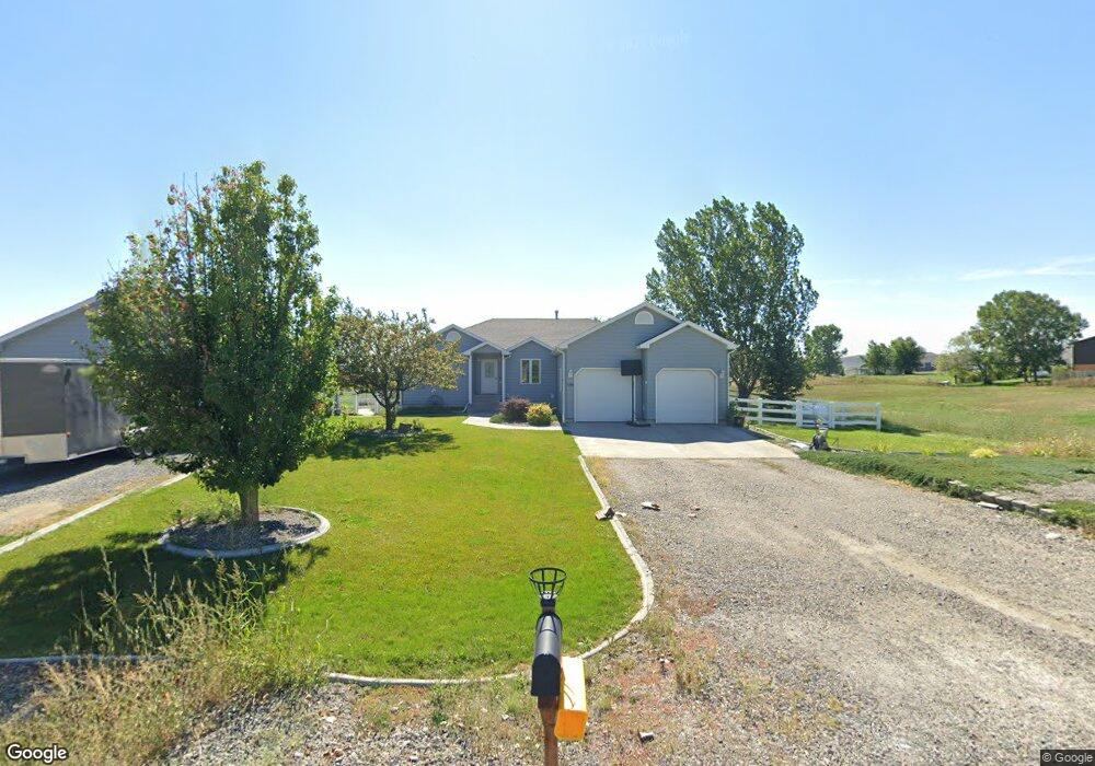
8660 Longmeadow Dr Billings, MT 59106
Estimated Value: $515,000 - $646,039
5
Beds
3
Baths
3,452
Sq Ft
$175/Sq Ft
Est. Value
About This Home
This home is located at 8660 Longmeadow Dr, Billings, MT 59106 and is currently estimated at $603,260, approximately $174 per square foot. 8660 Longmeadow Dr is a home located in Yellowstone County with nearby schools including Elder Grove Elementary School, Billings West High School, and Yellowstone Academy.
Ownership History
Date
Name
Owned For
Owner Type
Purchase Details
Closed on
Jun 3, 2020
Sold by
Jonckowski David L and Jonckowski Diane R
Bought by
Palmiter Samuel R and Palmiter Sonya L
Current Estimated Value
Home Financials for this Owner
Home Financials are based on the most recent Mortgage that was taken out on this home.
Original Mortgage
$331,200
Outstanding Balance
$294,131
Interest Rate
3.3%
Mortgage Type
New Conventional
Estimated Equity
$309,129
Purchase Details
Closed on
Oct 30, 2008
Sold by
Lantis Ty M and Lantis Pamela N
Bought by
Jonckowski David L and Jonckowski Diane R
Purchase Details
Closed on
Mar 7, 2008
Sold by
Mlh Llc
Bought by
Lantis Ty and Lantis Pamela
Home Financials for this Owner
Home Financials are based on the most recent Mortgage that was taken out on this home.
Original Mortgage
$507,000
Interest Rate
5.65%
Mortgage Type
Unknown
Create a Home Valuation Report for This Property
The Home Valuation Report is an in-depth analysis detailing your home's value as well as a comparison with similar homes in the area
Home Values in the Area
Average Home Value in this Area
Purchase History
| Date | Buyer | Sale Price | Title Company |
|---|---|---|---|
| Palmiter Samuel R | -- | First American Title | |
| Jonckowski David L | -- | None Available | |
| Lantis Ty | -- | None Available |
Source: Public Records
Mortgage History
| Date | Status | Borrower | Loan Amount |
|---|---|---|---|
| Open | Palmiter Samuel R | $331,200 | |
| Previous Owner | Lantis Ty | $507,000 |
Source: Public Records
Tax History Compared to Growth
Tax History
| Year | Tax Paid | Tax Assessment Tax Assessment Total Assessment is a certain percentage of the fair market value that is determined by local assessors to be the total taxable value of land and additions on the property. | Land | Improvement |
|---|---|---|---|---|
| 2025 | $3,599 | $592,700 | $76,534 | $516,166 |
| 2024 | $3,599 | $476,100 | $66,948 | $409,152 |
| 2023 | $3,624 | $476,100 | $66,948 | $409,152 |
| 2022 | $3,541 | $382,200 | $66,027 | $316,173 |
| 2021 | $3,542 | $382,200 | $0 | $0 |
| 2020 | $3,430 | $330,200 | $0 | $0 |
| 2019 | $3,336 | $330,200 | $0 | $0 |
| 2018 | $3,243 | $319,600 | $0 | $0 |
| 2017 | $2,671 | $319,600 | $0 | $0 |
| 2016 | $2,725 | $318,000 | $0 | $0 |
| 2015 | $2,660 | $318,000 | $0 | $0 |
| 2014 | $2,578 | $160,484 | $0 | $0 |
Source: Public Records
Map
Nearby Homes
- 8650 Longmeadow Dr
- 8405 Blue Marlin Dr
- 8625 Sail Fish Dr
- 8242 Wisner Ave
- 8129 Wisner Ave
- 8039 Wisner Ave
- 8428 Stillwater Dr
- 8542 Monad Rd
- 545 Pike Ct
- 6399 Signal Peak Ave
- 7920 Eland Ave
- 615 Kenya Ct
- 8325 Pond Rd
- 7906 Monad Rd
- 7804 Monad Rd
- 243 S 80th St W
- 7623 N Leopard Ave
- 7801 Monad Rd
- 7824 Penta Cir
- 7805 Penta Cir
- 8630 Longmeadow Dr
- 8655 Longmeadow Dr
- 8635 Longmeadow Dr
- 8645 Cut Throat Dr
- 8705 Longmeadow Dr
- 8665 Cut Throat Dr
- 8625 Longmeadow Dr
- 8740 Longmeadow Dr
- 8625 Cut Throat Dr
- 8705 Cut Throat Dr
- 8610 Longmeadow Dr
- 8605 Longmeadow Dr
- 8605 Cut Throat Dr
- 8660 Cut Throat Dr
- 8630 Cutthroat Dr
- 8630 Cut Throat Dr
- 8725 Cut Throat Dr
- 8590 Longmeadow Dr
- 8735 Longmeadow Dr
- 8710 Cut Throat Dr