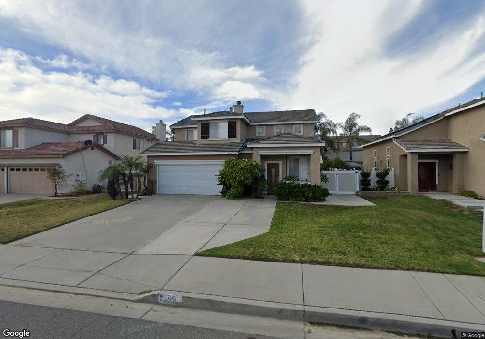
8675 Orchard Park Dr Riverside, CA 92508
Orangecrest NeighborhoodEstimated Value: $672,439 - $722,000
4
Beds
3
Baths
1,810
Sq Ft
$389/Sq Ft
Est. Value
About This Home
This home is located at 8675 Orchard Park Dr, Riverside, CA 92508 and is currently estimated at $703,860, approximately $388 per square foot. 8675 Orchard Park Dr is a home located in Riverside County with nearby schools including Tomas Rivera Elementary School, Amelia Earhart Middle School, and Martin Luther King Junior High School.
Ownership History
Date
Name
Owned For
Owner Type
Purchase Details
Closed on
Aug 3, 1999
Sold by
Richmond American Homes Of Ca Inc
Bought by
Devries Michael L and Devries Yolanda Lirio
Current Estimated Value
Home Financials for this Owner
Home Financials are based on the most recent Mortgage that was taken out on this home.
Original Mortgage
$169,510
Interest Rate
7.68%
Mortgage Type
FHA
Create a Home Valuation Report for This Property
The Home Valuation Report is an in-depth analysis detailing your home's value as well as a comparison with similar homes in the area
Home Values in the Area
Average Home Value in this Area
Purchase History
| Date | Buyer | Sale Price | Title Company |
|---|---|---|---|
| Devries Michael L | $171,000 | First American Title Co |
Source: Public Records
Mortgage History
| Date | Status | Borrower | Loan Amount |
|---|---|---|---|
| Previous Owner | Devries Michael L | $169,510 |
Source: Public Records
Tax History Compared to Growth
Tax History
| Year | Tax Paid | Tax Assessment Tax Assessment Total Assessment is a certain percentage of the fair market value that is determined by local assessors to be the total taxable value of land and additions on the property. | Land | Improvement |
|---|---|---|---|---|
| 2025 | $2,886 | $262,787 | $61,461 | $201,326 |
| 2023 | $2,886 | $252,584 | $59,075 | $193,509 |
| 2022 | $2,821 | $247,632 | $57,917 | $189,715 |
| 2021 | $2,792 | $242,778 | $56,782 | $185,996 |
| 2020 | $2,771 | $240,289 | $56,200 | $184,089 |
| 2019 | $2,720 | $235,579 | $55,099 | $180,480 |
| 2018 | $2,667 | $230,961 | $54,020 | $176,941 |
| 2017 | $2,735 | $226,433 | $52,961 | $173,472 |
| 2016 | $2,619 | $221,994 | $51,923 | $170,071 |
| 2015 | $2,593 | $218,661 | $51,144 | $167,517 |
| 2014 | $2,598 | $214,381 | $50,144 | $164,237 |
Source: Public Records
Map
Nearby Homes
- 20858 Bakal Dr
- 20895 Parish Place
- 8518 Yarrow Ln
- 20890 Westbury Rd
- 20681 Stony Brook Cir
- 20611 Bakal Dr
- 20800 Indigo Point
- 20425 Tobira Ln
- 20642 Iris Canyon Rd
- 8309 Clover Creek Rd
- 20241 Edmund Rd
- 8751 Rosebay Ct
- 8962 Morning Hills Dr
- 8873 Gumtree Ln
- 20101 Sedona Dr
- 0 Barton St
- 19728 Rotterdam St
- 19883 San Juan Capistrano Ct
- 19458 Hebron Ct
- 0 Old Frontage Rd Unit OC25137111
- 8665 Orchard Park Dr
- 8685 Orchard Park Dr
- 8655 Orchard Park Dr
- 8674 De Loss Dr
- 8664 De Loss Dr
- 8684 De Loss Dr
- 8654 De Loss Dr
- 8645 Orchard Park Dr
- 8676 Orchard Park Dr
- 8666 Orchard Park Dr
- 8644 De Loss Dr
- 8656 Orchard Park Dr
- 8686 Orchard Park Dr
- 20883 Hillsdale Rd
- 20891 Hillsdale Rd
- 8635 Orchard Park Dr
- 20875 Hillsdale Rd
- 8646 Orchard Park Dr
- 20899 Hillsdale Rd
- 8634 De Loss Dr