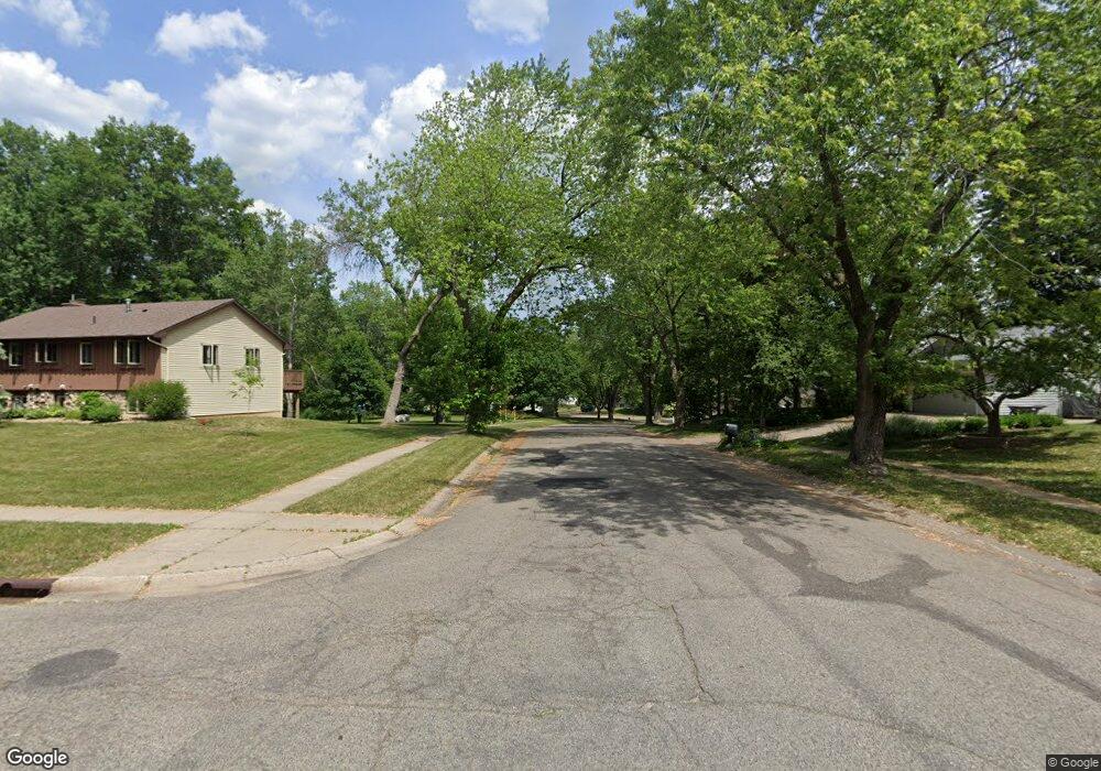
8681 134th St W Saint Paul, MN 55124
Alimagnet NeighborhoodEstimated Value: $219,000 - $246,000
2
Beds
1
Bath
1,070
Sq Ft
$212/Sq Ft
Est. Value
About This Home
This home is located at 8681 134th St W, Saint Paul, MN 55124 and is currently estimated at $227,153, approximately $212 per square foot. 8681 134th St W is a home located in Dakota County with nearby schools including Westview Elementary School, Falcon Ridge Middle School, and Apple Valley Senior High School.
Ownership History
Date
Name
Owned For
Owner Type
Purchase Details
Closed on
Oct 31, 2018
Sold by
Dahler Donald L and Claeys Dawn Marie
Bought by
Opendoor Property D Llc
Current Estimated Value
Purchase Details
Closed on
Aug 17, 2001
Sold by
Moe Kay
Bought by
Troyer Kent E
Purchase Details
Closed on
Jan 29, 1999
Sold by
Huerd Daniel J and Huerd Elizabeth L
Bought by
Moe Kathy J
Purchase Details
Closed on
May 29, 1996
Sold by
Mcgrane Jack F
Bought by
Huerd Daniel J and Huerd Elizabeth L
Create a Home Valuation Report for This Property
The Home Valuation Report is an in-depth analysis detailing your home's value as well as a comparison with similar homes in the area
Home Values in the Area
Average Home Value in this Area
Purchase History
| Date | Buyer | Sale Price | Title Company |
|---|---|---|---|
| Opendoor Property D Llc | $358,000 | North American Title Company | |
| Troyer Kent E | $129,900 | -- | |
| Moe Kathy J | $82,000 | -- | |
| Huerd Daniel J | $77,000 | -- |
Source: Public Records
Tax History Compared to Growth
Tax History
| Year | Tax Paid | Tax Assessment Tax Assessment Total Assessment is a certain percentage of the fair market value that is determined by local assessors to be the total taxable value of land and additions on the property. | Land | Improvement |
|---|---|---|---|---|
| 2024 | $2,454 | $193,800 | $38,200 | $155,600 |
| 2023 | $1,886 | $200,700 | $37,400 | $163,300 |
| 2022 | $1,934 | $191,400 | $37,200 | $154,200 |
| 2021 | $2,144 | $159,200 | $32,400 | $126,800 |
| 2020 | $2,082 | $158,700 | $26,400 | $132,300 |
| 2019 | $1,795 | $145,900 | $25,200 | $120,700 |
| 2018 | $1,722 | $130,000 | $23,300 | $106,700 |
| 2017 | $1,696 | $117,900 | $21,600 | $96,300 |
| 2016 | $1,586 | $111,900 | $20,600 | $91,300 |
| 2015 | $1,455 | $78,518 | $14,935 | $63,583 |
| 2014 | -- | $68,490 | $13,133 | $55,357 |
| 2013 | -- | $65,656 | $11,615 | $54,041 |
Source: Public Records
Map
Nearby Homes
- 13306 Huntington Cir
- 13345 Huntington Cir
- 13591 Hollybrook Way
- 13599 Hollybrook Dr
- 13609 Hollybrook Dr
- 13613 Hollybrook Dr
- 13731 Hollybrook Cir
- The Sophia Plan at Eagle Pointe - Townhomes
- The Amelia Plan at Eagle Pointe - Townhomes
- The Magnolia Plan at Eagle Pointe - Townhomes
- The Nolan Plan at Eagle Pointe - Townhomes
- 13727 Hollybrook Cir
- 13751 Hollybrook Cir
- 13761 Hollybrook Cir
- 13820 Holyoke Path
- 13101 Heritage Way
- 451 Reflection Rd
- 1408 McAndrews Rd E Unit 8
- 14132 Heywood Path
- 14172 Heywood Path
- 8689 134th St W
- 8667 134th St W
- 8705 134th St W
- 8659 134th St W
- 8709 134th St W
- 8653 134th St W
- 8715 134th St W
- 8649 134th St W
- 8719 134th St W
- 8643 134th St W
- 8670 134th St W
- 8666 134th St W
- 8674 134th St W
- 8660 134th St W
- 8631 134th St W
- 8654 134th St W
- 8678 134th St W
- 8648 134th St W
- 8625 134th St W
- 8682 134th St W