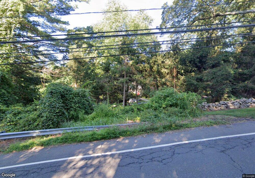
87 Georgetown Rd Weston, CT 06883
Estimated Value: $1,140,000 - $1,227,000
3
Beds
3
Baths
2,864
Sq Ft
$415/Sq Ft
Est. Value
About This Home
This home is located at 87 Georgetown Rd, Weston, CT 06883 and is currently estimated at $1,188,661, approximately $415 per square foot. 87 Georgetown Rd is a home located in Fairfield County with nearby schools including Hurlbutt Elementary School, Weston Intermediate School, and Weston Middle School.
Ownership History
Date
Name
Owned For
Owner Type
Purchase Details
Closed on
Jun 17, 2005
Sold by
Carpentieri Stephen J and Carpentieri Cheri
Bought by
Bate Johnna L
Current Estimated Value
Purchase Details
Closed on
Jul 8, 2002
Sold by
Sloop Robert E and Farley-Sloop Dineen
Bought by
Carpentieri Stephen J and Carpentieri Cheri
Purchase Details
Closed on
Dec 5, 1997
Sold by
Teter Jeff and Teter Sarah
Bought by
Sloop Robert and Sloop Dineen
Purchase Details
Closed on
Aug 16, 1996
Sold by
Savignol Paula
Bought by
Teter Sarah and Teter Jeff
Create a Home Valuation Report for This Property
The Home Valuation Report is an in-depth analysis detailing your home's value as well as a comparison with similar homes in the area
Home Values in the Area
Average Home Value in this Area
Purchase History
| Date | Buyer | Sale Price | Title Company |
|---|---|---|---|
| Bate Johnna L | $997,000 | -- | |
| Carpentieri Stephen J | $665,000 | -- | |
| Sloop Robert | $476,000 | -- | |
| Teter Sarah | $510,000 | -- |
Source: Public Records
Mortgage History
| Date | Status | Borrower | Loan Amount |
|---|---|---|---|
| Closed | Teter Sarah | $647,000 | |
| Closed | Teter Sarah | $696,000 | |
| Closed | Teter Sarah | $700,000 |
Source: Public Records
Tax History
| Year | Tax Paid | Tax Assessment Tax Assessment Total Assessment is a certain percentage of the fair market value that is determined by local assessors to be the total taxable value of land and additions on the property. | Land | Improvement |
|---|---|---|---|---|
| 2025 | $16,810 | $703,360 | $161,560 | $541,800 |
| 2024 | $16,508 | $703,360 | $161,560 | $541,800 |
| 2023 | $15,770 | $477,000 | $161,560 | $315,440 |
| 2022 | $15,727 | $477,000 | $161,560 | $315,440 |
| 2021 | $15,703 | $477,000 | $161,560 | $315,440 |
| 2020 | $15,440 | $477,000 | $161,560 | $315,440 |
| 2019 | $15,440 | $477,000 | $161,560 | $315,440 |
| 2018 | $14,598 | $496,700 | $185,300 | $311,400 |
| 2017 | $14,360 | $496,700 | $185,300 | $311,400 |
| 2016 | $14,186 | $496,700 | $185,300 | $311,400 |
| 2015 | $14,285 | $496,700 | $185,300 | $311,400 |
| 2014 | $14,027 | $496,700 | $185,300 | $311,400 |
Source: Public Records
Map
Nearby Homes
- 00 Old Mill Rd
- 0 Old Mill Rd
- 30 Highland Ave
- 852 Danbury Rd
- 38 Honey Hill Rd
- 0 Mountain Rd
- 64 Portland Ave
- 349 Mountain Rd
- 12 Godfrey Rd W
- 78 Pin Oak Ln
- 15 Mountain View Dr
- 475 Danbury Rd
- 28 Old Orchard Dr
- 26 Wilridge Rd
- 4 Trails End Rd
- 290 Newtown Turnpike
- 219 Redding Rd
- 17 Tall Oaks Rd
- 14 Langner Ln
- 340 Sturges Ridge Rd
- 90 Georgetown Rd
- 93 Georgetown Rd
- 95 Georgetown Rd
- 96 Georgetown Rd
- 81 Georgetown Rd
- 85 Georgetown Rd
- 82 Georgetown Rd
- 7 Indian Valley Rd
- 91 Georgetown Rd
- 83 Georgetown Rd
- 101 Georgetown Rd
- 102 Georgetown Rd
- 75 Georgetown Rd
- 98 & 100 Georgetown Rd
- 76 Georgetown Rd
- 17 Samuelson Rd
- 5 Meadowbrook Ln
- 7 Meadowbrook Ln
- 5 Samuelson Rd
- 17 Indian Valley Rd
Your Personal Tour Guide
Ask me questions while you tour the home.