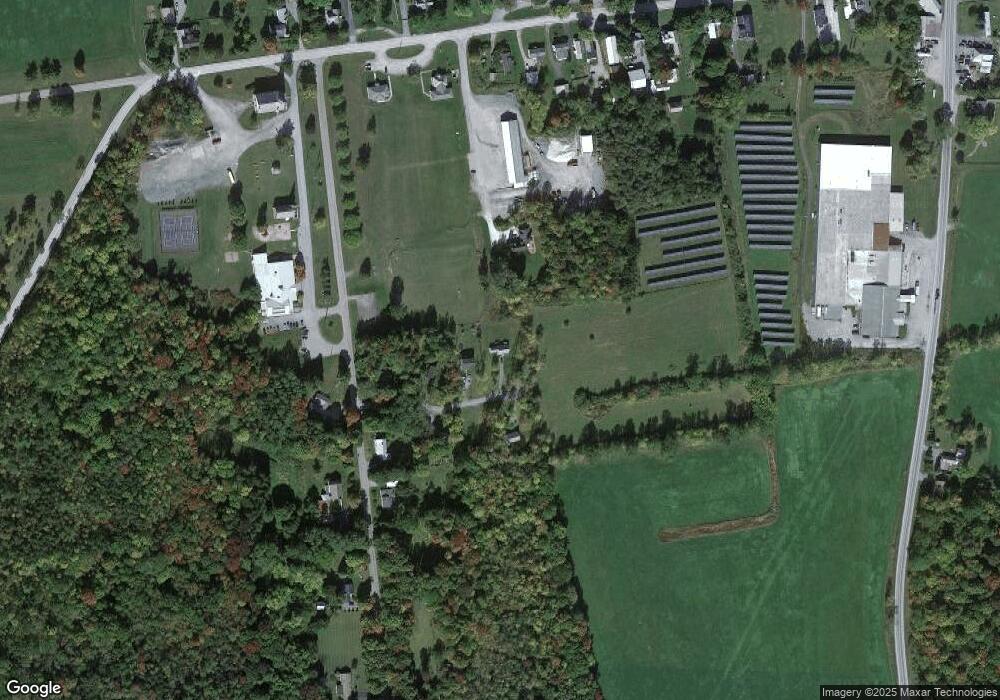
87 Oliver Howe Ct Shoreham, VT 05770
Estimated Value: $297,000 - $353,000
1
Bed
1
Bath
986
Sq Ft
$321/Sq Ft
Est. Value
About This Home
This home is located at 87 Oliver Howe Ct, Shoreham, VT 05770 and is currently estimated at $316,497, approximately $320 per square foot. 87 Oliver Howe Ct is a home located in Addison County with nearby schools including Shoreham Elementary School, Middlebury Union Middle School, and Middlebury Union High School.
Ownership History
Date
Name
Owned For
Owner Type
Purchase Details
Closed on
Jul 16, 2025
Sold by
Stevens Pauline and Mears Cody M
Bought by
Cash Jessie
Current Estimated Value
Purchase Details
Closed on
Jan 29, 2021
Sold by
Daniel And Christina Phillips 2018 Trust
Bought by
Mears Cody M and Stevens Pauline J
Purchase Details
Closed on
May 4, 2018
Sold by
Phillips Christina R Y
Bought by
Daniel And Christina Phillips 2018 Trust and Christina
Purchase Details
Closed on
Oct 16, 2017
Sold by
Phillips Christina R
Bought by
Phillips Christina R and Phillips Daniel A
Purchase Details
Closed on
Oct 19, 2016
Sold by
Sterling Sofia G
Bought by
Phillips Christina R Y
Create a Home Valuation Report for This Property
The Home Valuation Report is an in-depth analysis detailing your home's value as well as a comparison with similar homes in the area
Home Values in the Area
Average Home Value in this Area
Purchase History
| Date | Buyer | Sale Price | Title Company |
|---|---|---|---|
| Cash Jessie | $299,000 | -- | |
| Mears Cody M | $221,500 | -- | |
| Daniel And Christina Phillips 2018 Trust | -- | -- | |
| Phillips Christina R | -- | -- | |
| Phillips Christina R Y | -- | -- |
Source: Public Records
Tax History Compared to Growth
Tax History
| Year | Tax Paid | Tax Assessment Tax Assessment Total Assessment is a certain percentage of the fair market value that is determined by local assessors to be the total taxable value of land and additions on the property. | Land | Improvement |
|---|---|---|---|---|
| 2024 | -- | $261,800 | $41,800 | $220,000 |
| 2023 | $4,584 | $207,600 | $45,200 | $162,400 |
| 2022 | $4,677 | $207,600 | $45,200 | $162,400 |
| 2021 | $4,838 | $207,600 | $45,200 | $162,400 |
| 2020 | $4,530 | $207,600 | $45,200 | $162,400 |
| 2019 | $4,647 | $207,600 | $45,200 | $162,400 |
| 2018 | $4,630 | $207,600 | $45,200 | $162,400 |
| 2016 | $4,388 | $207,600 | $45,200 | $162,400 |
Source: Public Records
Map
Nearby Homes
- 3028 Vermont 22a
- 1712 Vermont 22a
- 548 Watch Point Rd
- 118 Vt Route 74 E
- 200B Burgess Rd
- 2290 Hemenway Hill Rd
- 475 Elmendorf Rd
- TBD Barnes Rd
- 372 Fisher Rd
- 0 S Bingham St Unit 5053410
- 163 Stickney Rd
- 735 Shore Airport Rd
- 1650 Crown Point Rd
- L4/6 Shanahan Rd
- 4376 Vt-22a
- 5949 Vermont 30
- 4351 Crown Point Rd
- 2075 Nys Route 9n
- 2001 State Highway 9n
- L25 River Rd
- 61 Oliver Howe Ct
- 53 Oliver Howe Ct
- 0 Oliver Howe Unit Lot 3 4418474
- TBD Oliver Howe Ct
- Lot 3 Oliver Howe Ct Unit Lot 3
- 68 Oliver Howe Ct
- 82 Oliver Howe Ct
- 21 Oliver Howe Ct
- 107 Firehouse Rd
- 44 Oliver Howe Ct
- 6 Oliver Howe Ct
- 2 Oliver Howe Ct
- Lot 2 (por Oliver Howe Ct
- 3 Oliver Howe Ct
- 215 School St
- 241 School St
- 186 School Rd
- 234 School St
- 288 School St
- 227 Main St
