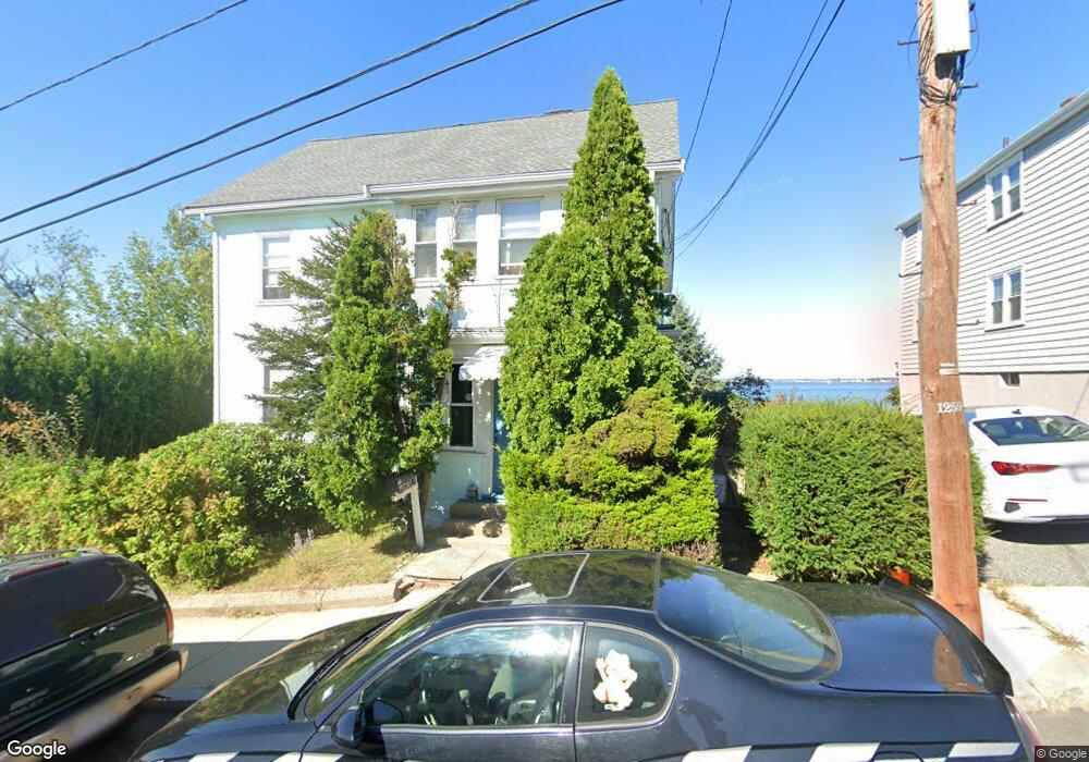
87 Upland Rd Unit 1 Winthrop, MA 02152
Winthrop Highlands NeighborhoodEstimated Value: $801,371 - $889,000
2
Beds
1
Bath
1,100
Sq Ft
$755/Sq Ft
Est. Value
About This Home
This home is located at 87 Upland Rd Unit 1, Winthrop, MA 02152 and is currently estimated at $830,343, approximately $754 per square foot. 87 Upland Rd Unit 1 is a home located in Suffolk County with nearby schools including William P. Gorman/Fort Banks Elementary School, Arthur T. Cummings Elementary School, and Winthrop Middle School.
Create a Home Valuation Report for This Property
The Home Valuation Report is an in-depth analysis detailing your home's value as well as a comparison with similar homes in the area
Home Values in the Area
Average Home Value in this Area
Tax History
| Year | Tax Paid | Tax Assessment Tax Assessment Total Assessment is a certain percentage of the fair market value that is determined by local assessors to be the total taxable value of land and additions on the property. | Land | Improvement |
|---|---|---|---|---|
| 2025 | $7,824 | $758,100 | $445,800 | $312,300 |
| 2024 | $7,392 | $709,400 | $428,400 | $281,000 |
| 2023 | $7,897 | $738,000 | $428,300 | $309,700 |
| 2022 | $7,776 | $661,200 | $382,400 | $278,800 |
| 2021 | $7,581 | $597,900 | $341,400 | $256,500 |
| 2020 | $7,437 | $589,300 | $341,400 | $247,900 |
| 2019 | $7,279 | $552,300 | $314,600 | $237,700 |
| 2018 | $6,995 | $494,000 | $270,100 | $223,900 |
| 2017 | $6,084 | $422,200 | $218,900 | $203,300 |
| 2016 | $5,672 | $369,000 | $184,500 | $184,500 |
| 2015 | $5,066 | $353,300 | $179,100 | $174,200 |
| 2014 | $4,940 | $317,100 | $165,200 | $151,900 |
Source: Public Records
Map
Nearby Homes
- 22 Upland Rd
- 47 Highland Ave
- 43 Sagamore Ave Unit 1
- 49 Sagamore Ave Unit 3A
- 1000 Winthrop Ave Unit 2
- 800 Governors Dr Unit 6
- 800 Governors Dr Unit 17
- 100 Governors Dr Unit 118
- 201 Cliff Ave
- 441 Winthrop St
- 50-52 Wilshire St
- 54 Wilshire St
- 3 Seal Harbor Rd Unit 344
- 3 Seal Harbor Rd Unit 133
- 426 Winthrop St
- 1 Seal Harbor Rd Unit 210
- 1 Seal Harbor Rd Unit 701
- 140 Shirley St Unit 201
- 140 Shirley St Unit 310
- 140 Shirley St Unit 204
- 87 Upland Rd
- 81 Upland Rd Unit 83
- 83 Upland Rd Unit 2
- 81 Upland Rd Unit 1
- 81-83 Upland Rd Unit 2
- 81-83 Upland Rd
- 127 Upland Rd
- 95 Upland Rd
- 86 Upland Rd Unit 92
- 92 Upland Rd Unit 1
- 92 Upland Rd
- 89 Upland Rd
- 89R Upland Rd
- 101 Upland Rd
- 80 Upland Rd
- 94 Upland Rd
- 96 Upland Rd
- 96 Upland Rd
- 103 Upland Rd
- 105 Upland Rd
Your Personal Tour Guide
Ask me questions while you tour the home.