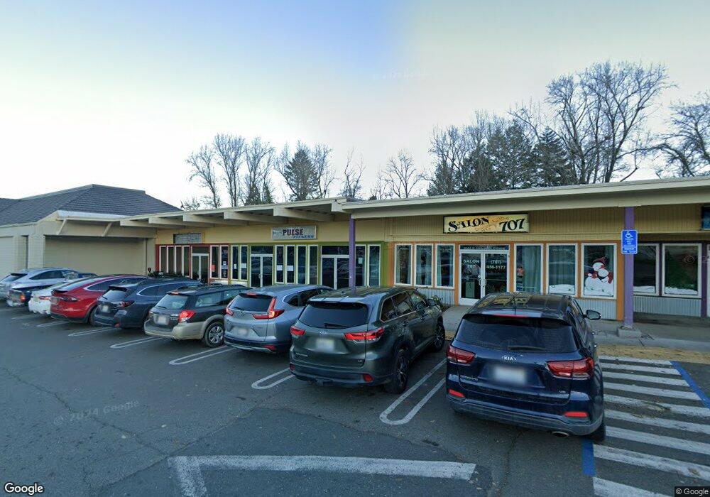
871 S Main St Willits, CA 95490
Estimated Value: $925,197
Studio
--
Bath
9,470
Sq Ft
$98/Sq Ft
Est. Value
About This Home
This home is located at 871 S Main St, Willits, CA 95490 and is currently estimated at $925,197, approximately $97 per square foot. 871 S Main St is a home located in Mendocino County with nearby schools including Blosser Lane Elementary School, Brookside Elementary School, and Baechtel Grove Middle School.
Ownership History
Date
Name
Owned For
Owner Type
Purchase Details
Closed on
Jul 2, 2024
Sold by
Safeway Shopping Center Llc
Bought by
Willits 101 Llc
Current Estimated Value
Purchase Details
Closed on
Apr 26, 2024
Sold by
South Main Willits Llc
Bought by
Safeway Shopping Center Llc
Purchase Details
Closed on
Mar 15, 2024
Sold by
Victor Z Hanson 1999 Revocable Trust
Bought by
South Main Willits Llc
Purchase Details
Closed on
Feb 20, 2024
Sold by
Victor Z Hanson 1999 Revocable Trust
Bought by
Franklin Ave Willits Llc
Purchase Details
Closed on
Apr 8, 1999
Sold by
Hanson Victor Z
Bought by
Hanson Victor Z
Create a Home Valuation Report for This Property
The Home Valuation Report is an in-depth analysis detailing your home's value as well as a comparison with similar homes in the area
Home Values in the Area
Average Home Value in this Area
Purchase History
| Date | Buyer | Sale Price | Title Company |
|---|---|---|---|
| Willits 101 Llc | -- | Redwood Empire Title | |
| Safeway Shopping Center Llc | $940,000 | Redwood Empire Title | |
| South Main Willits Llc | -- | None Listed On Document | |
| Franklin Ave Willits Llc | -- | None Listed On Document | |
| Hanson Victor Z | -- | -- |
Source: Public Records
Tax History
| Year | Tax Paid | Tax Assessment Tax Assessment Total Assessment is a certain percentage of the fair market value that is determined by local assessors to be the total taxable value of land and additions on the property. | Land | Improvement |
|---|---|---|---|---|
| 2025 | $10,065 | $958,800 | $499,800 | $459,000 |
| 2023 | $10,065 | $518,275 | $137,945 | $380,330 |
| 2022 | $8,251 | $508,114 | $135,241 | $372,873 |
| 2021 | $13,328 | $498,152 | $132,590 | $365,562 |
| 2020 | $12,473 | $493,047 | $131,237 | $361,810 |
| 2019 | $7,968 | $483,380 | $128,664 | $354,716 |
| 2018 | $13,779 | $473,905 | $126,142 | $347,763 |
| 2017 | $8,902 | $464,613 | $123,669 | $340,944 |
| 2016 | $9,387 | $455,506 | $121,244 | $334,262 |
| 2015 | $8,434 | $448,666 | $119,423 | $329,243 |
| 2014 | $8,637 | $439,880 | $117,085 | $322,795 |
Source: Public Records
Map
Nearby Homes
- 1051 S Main St
- 0 Poplar Ave Unit 324037613
- 1242 Poplar Ave
- 372 S Lenore Ave
- 1407 Brothers Ln
- 316 S Main St
- 454 Della Ave
- 308 Coast St
- 490 Della Ave
- 350 Creekside Dr
- 0 Catherine Ln
- 84 School St
- 1581 S Main St
- 21441 Pineview Dr
- 1750 S Main St Unit 37
- 25331 Sherwood Rd
- 25201 Sherwood Rd
- 252 Margie Dr
- 450 Grove St
- 26400 Sherwood Rd
- 395 State Hwy 20
- 804 Railroad Ave
- 798 Railroad Ave
- 811 S Main St
- 796 Railroad Ave
- 794 Railroad Ave
- 1041 S Main St
- 1041 S Main St
- 750 Central Ave
- 775 Central Ave
- 100 South St
- 90 South St
- 36 South St
- 1044 Poplar Ave
- 1046 Poplar Ave
- 153 E Barbara Ln
- 0 Parcel 64 Spring Creek (Blue Lake Rd)
- 1048 Poplar Ave
- 191 Walnut St
- 1075 S Main St
Your Personal Tour Guide
Ask me questions while you tour the home.