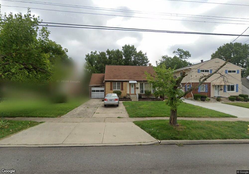
8710 Daly Rd Cincinnati, OH 45231
Finneytown NeighborhoodEstimated Value: $117,065 - $207,000
3
Beds
1
Bath
1,366
Sq Ft
$124/Sq Ft
Est. Value
About This Home
This home is located at 8710 Daly Rd, Cincinnati, OH 45231 and is currently estimated at $170,016, approximately $124 per square foot. 8710 Daly Rd is a home located in Hamilton County with nearby schools including Finneytown Elementary School, Finneytown Secondary Campus, and St. Vivian School.
Create a Home Valuation Report for This Property
The Home Valuation Report is an in-depth analysis detailing your home's value as well as a comparison with similar homes in the area
Home Values in the Area
Average Home Value in this Area
Tax History
| Year | Tax Paid | Tax Assessment Tax Assessment Total Assessment is a certain percentage of the fair market value that is determined by local assessors to be the total taxable value of land and additions on the property. | Land | Improvement |
|---|---|---|---|---|
| 2025 | $1,631 | $33,537 | $5,803 | $27,734 |
| 2023 | $1,627 | $33,537 | $5,803 | $27,734 |
| 2022 | $1,646 | $26,646 | $5,723 | $20,923 |
| 2021 | $1,598 | $26,646 | $5,723 | $20,923 |
| 2020 | $1,645 | $26,646 | $5,723 | $20,923 |
| 2019 | $1,373 | $22,582 | $4,851 | $17,731 |
| 2018 | $1,268 | $22,582 | $4,851 | $17,731 |
| 2017 | $1,197 | $22,582 | $4,851 | $17,731 |
| 2016 | $1,385 | $24,571 | $5,268 | $19,303 |
| 2015 | $1,407 | $24,571 | $5,268 | $19,303 |
| 2014 | $1,410 | $24,571 | $5,268 | $19,303 |
| 2013 | $2,251 | $25,862 | $5,544 | $20,318 |
Source: Public Records
Map
Nearby Homes
- 8609 Balboa Dr
- 1144 Hempstead Dr
- 1285 Landis Ln
- 1125 Murkett Ct
- 1116 Madeleine Cir
- 8663 Mockingbird Ln
- 8693 Mockingbird Ln
- 1052 Vacationland Dr
- 1101 Meadowind Ct
- 1202 Ashmore Ct
- 8829 Mockingbird Ln
- 7227 Bernard Ave
- 1123 Compton Rd
- 1115 Compton Rd
- 8433 Jonfred Ct
- 1476 Foxwood Dr
- 958 Hollytree Dr
- 1090 W Galbraith Rd
- 1481 Saint Clair Ave
- 8990 Mockingbird Ln
Your Personal Tour Guide
Ask me questions while you tour the home.