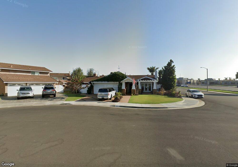
8711 Rath Cir Huntington Beach, CA 92646
Southeast NeighborhoodEstimated Value: $1,550,198 - $1,848,000
4
Beds
3
Baths
1,918
Sq Ft
$878/Sq Ft
Est. Value
About This Home
This home is located at 8711 Rath Cir, Huntington Beach, CA 92646 and is currently estimated at $1,684,300, approximately $878 per square foot. 8711 Rath Cir is a home located in Orange County with nearby schools including S.A. Moffett Elementary School, Isaac L. Sowers Middle School, and Edison High School.
Ownership History
Date
Name
Owned For
Owner Type
Purchase Details
Closed on
Dec 23, 2009
Sold by
Knox Tommy and Knox Tawany
Bought by
Knox Tommy and Knox Tawany
Current Estimated Value
Home Financials for this Owner
Home Financials are based on the most recent Mortgage that was taken out on this home.
Original Mortgage
$250,000
Interest Rate
4.78%
Mortgage Type
New Conventional
Purchase Details
Closed on
Oct 13, 2009
Sold by
Knox Tommy Joe and Knox Tawnny
Bought by
Knox Tommy and Knox Tawnny
Purchase Details
Closed on
Jul 15, 1999
Sold by
Security Trust Company
Bought by
Knox Tommy Joe and Knox Tawnny
Create a Home Valuation Report for This Property
The Home Valuation Report is an in-depth analysis detailing your home's value as well as a comparison with similar homes in the area
Home Values in the Area
Average Home Value in this Area
Purchase History
| Date | Buyer | Sale Price | Title Company |
|---|---|---|---|
| Knox Tommy | -- | Lsi Local Solutions | |
| Knox Tommy | -- | None Available | |
| Knox Tommy Joe | -- | Chicago Title Co |
Source: Public Records
Mortgage History
| Date | Status | Borrower | Loan Amount |
|---|---|---|---|
| Closed | Knox Tommy | $250,000 |
Source: Public Records
Tax History Compared to Growth
Tax History
| Year | Tax Paid | Tax Assessment Tax Assessment Total Assessment is a certain percentage of the fair market value that is determined by local assessors to be the total taxable value of land and additions on the property. | Land | Improvement |
|---|---|---|---|---|
| 2025 | $5,571 | $486,262 | $313,439 | $172,823 |
| 2024 | $5,571 | $476,728 | $307,293 | $169,435 |
| 2023 | $5,443 | $467,381 | $301,268 | $166,113 |
| 2022 | $5,299 | $458,217 | $295,361 | $162,856 |
| 2021 | $5,200 | $449,233 | $289,570 | $159,663 |
| 2020 | $5,165 | $444,627 | $286,601 | $158,026 |
| 2019 | $5,104 | $435,909 | $280,981 | $154,928 |
| 2018 | $5,025 | $427,362 | $275,471 | $151,891 |
| 2017 | $4,957 | $418,983 | $270,070 | $148,913 |
| 2016 | $4,739 | $410,768 | $264,774 | $145,994 |
| 2015 | $4,692 | $404,598 | $260,796 | $143,802 |
| 2014 | $4,593 | $396,673 | $255,687 | $140,986 |
Source: Public Records
Map
Nearby Homes
- 20191 Imperial Cove Ln
- 8565 Trinity Cir Unit 824D
- 8886 Plumas Cir Unit 1124-A
- 20131 Crown Reef Ln
- 8646 Butte Cir Unit 607E
- 20251 Lighthouse Ln
- 8565 Colusa Cir Unit 906C
- 8472 Norfolk Dr
- 8856 Sutter Cir Unit 522A
- 8856 526C Sutter
- 8342 Seaport Dr
- 8565 Larkhall Cir Unit 804A
- 8932 Amador Cir Unit 1309B
- 20258 Lantana Dr
- 8777 Tulare Dr Unit 409D
- 8566 Larkhall Cir Unit 808A
- 8566 Larkhall Cir Unit 809D
- 20162 S New Britain Ln
- 20302 Tidepool Cir Unit 204
- 8788 Coral Springs Ct Unit 203
- 8701 Rath Cir
- 8722 Larthorn Dr
- 8712 Larthorn Dr
- 8702 Larthorn Dr
- 8692 Rath Cir
- 8692 Larthorn Dr
- 8702 Rath Cir
- 20351 Meander Ln
- 8682 Larthorn Dr
- 20322 Camfield Ln
- 20272 Newby Ln
- 20332 Camfield Ln
- 20271 Meander Ln
- 20342 Camfield Ln
- 20361 Meander Ln
- 8672 Larthorn Dr
- 8691 Larthorn Dr
- 20352 Camfield Ln
- 20262 Newby Ln
- 20261 Meander Ln