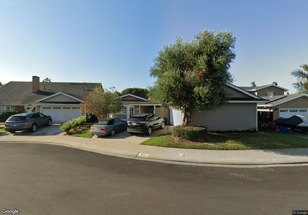
8712 Princess Cir Huntington Beach, CA 92646
Southeast NeighborhoodEstimated Value: $1,473,065 - $1,736,000
3
Beds
2
Baths
1,746
Sq Ft
$935/Sq Ft
Est. Value
About This Home
This home is located at 8712 Princess Cir, Huntington Beach, CA 92646 and is currently estimated at $1,632,766, approximately $935 per square foot. 8712 Princess Cir is a home located in Orange County with nearby schools including S.A. Moffett Elementary School, Isaac L. Sowers Middle School, and Edison High School.
Ownership History
Date
Name
Owned For
Owner Type
Purchase Details
Closed on
Aug 16, 2016
Sold by
Desalvo Peter and De Salvo Kathleen
Bought by
Desalvo Peter Joseph and Desalvo Kathleen Kimber
Current Estimated Value
Purchase Details
Closed on
Dec 5, 2000
Sold by
R W George Ltd
Bought by
Desalvo Peter and Desalvo Kathleen
Create a Home Valuation Report for This Property
The Home Valuation Report is an in-depth analysis detailing your home's value as well as a comparison with similar homes in the area
Home Values in the Area
Average Home Value in this Area
Purchase History
| Date | Buyer | Sale Price | Title Company |
|---|---|---|---|
| Desalvo Peter Joseph | -- | None Available | |
| Desalvo Peter | $7,000 | -- |
Source: Public Records
Tax History Compared to Growth
Tax History
| Year | Tax Paid | Tax Assessment Tax Assessment Total Assessment is a certain percentage of the fair market value that is determined by local assessors to be the total taxable value of land and additions on the property. | Land | Improvement |
|---|---|---|---|---|
| 2025 | $5,822 | $509,497 | $372,041 | $137,456 |
| 2024 | $5,822 | $499,507 | $364,746 | $134,761 |
| 2023 | $5,689 | $489,713 | $357,594 | $132,119 |
| 2022 | $5,538 | $480,111 | $350,582 | $129,529 |
| 2021 | $5,435 | $470,698 | $343,708 | $126,990 |
| 2020 | $5,399 | $465,872 | $340,184 | $125,688 |
| 2019 | $5,335 | $456,738 | $333,514 | $123,224 |
| 2018 | $5,251 | $447,783 | $326,975 | $120,808 |
| 2017 | $5,180 | $439,003 | $320,563 | $118,440 |
| 2016 | $4,953 | $430,396 | $314,278 | $116,118 |
| 2015 | $4,904 | $423,932 | $309,558 | $114,374 |
| 2014 | $4,800 | $415,628 | $303,494 | $112,134 |
Source: Public Records
Map
Nearby Homes
- 20131 Crown Reef Ln
- 20191 Imperial Cove Ln
- 20012 Treasure Cir
- 8472 Norfolk Dr
- 20251 Lighthouse Ln
- 20258 Lantana Dr
- 20380 Flora Ln
- 20162 S New Britain Ln
- 8886 Plumas Cir Unit 1124-A
- 8401 Dallas Cir
- 8565 Trinity Cir
- 20302 Tidepool Cir Unit 204
- 8565 Colusa Cir Unit 906C
- 8646 Butte Cir Unit 607E
- 8182 Mainsail Dr Unit 203
- 20111 Marina Ln
- 8856 526C Sutter
- 8932 Amador Cir Unit 1309B
- 8565 Larkhall Cir Unit 804A
- 8565 Larkhall Cir Unit 802C
- 8702 Princess Cir
- 8722 Princess Cir
- 8711 Knights Cir
- 8721 Knights Cir
- 8701 Knights Cir
- 8732 Princess Cir
- 20092 Crown Reef Ln
- 8731 Princess Cir
- 8731 Knights Cir
- 8711 Princess Cir
- 20121 Crown Reef Ln
- 20111 Crown Reef Ln
- 8721 Princess Cir
- 20082 Crown Reef Ln
- 20101 Crown Reef Ln
- 20111 Tranquil Ln
- 20121 Tranquil Ln
- 20101 Tranquil Ln
- 20141 Crown Reef Ln
- 8732 Knights Cir