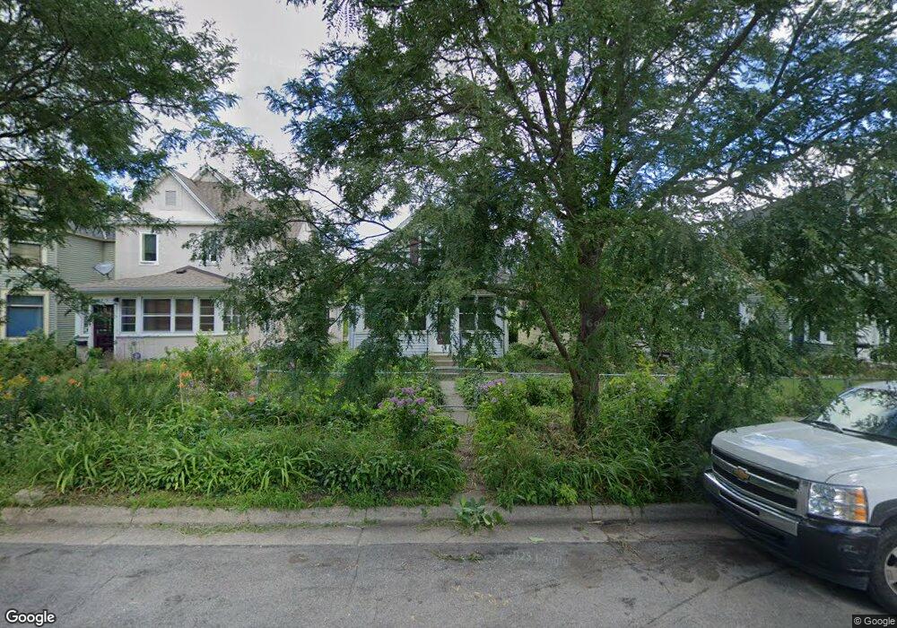
873 Lafond Ave Saint Paul, MN 55104
Frogtown NeighborhoodEstimated Value: $222,000 - $248,000
3
Beds
2
Baths
1,186
Sq Ft
$196/Sq Ft
Est. Value
About This Home
This home is located at 873 Lafond Ave, Saint Paul, MN 55104 and is currently estimated at $232,661, approximately $196 per square foot. 873 Lafond Ave is a home located in Ramsey County with nearby schools including Maxfield Magnet Elementary School, Hidden River Middle School, and Central Senior High School.
Ownership History
Date
Name
Owned For
Owner Type
Purchase Details
Closed on
Sep 21, 2023
Sold by
Meulemans Jason and Meulemans Jody
Bought by
Meulemans Megan
Current Estimated Value
Purchase Details
Closed on
Jan 28, 2006
Sold by
Shaffer Nicole
Bought by
Morzenti Jason L
Purchase Details
Closed on
Apr 28, 2000
Sold by
Deno Jerry P and Deno Susan E
Bought by
Morzenti Jason L and Shaffer Nicole
Create a Home Valuation Report for This Property
The Home Valuation Report is an in-depth analysis detailing your home's value as well as a comparison with similar homes in the area
Home Values in the Area
Average Home Value in this Area
Purchase History
| Date | Buyer | Sale Price | Title Company |
|---|---|---|---|
| Meulemans Megan | $500 | Title Fusion | |
| Morzenti Jason L | -- | None Available | |
| Morzenti Jason L | $112,900 | -- |
Source: Public Records
Tax History Compared to Growth
Tax History
| Year | Tax Paid | Tax Assessment Tax Assessment Total Assessment is a certain percentage of the fair market value that is determined by local assessors to be the total taxable value of land and additions on the property. | Land | Improvement |
|---|---|---|---|---|
| 2025 | $2,820 | $224,300 | $25,000 | $199,300 |
| 2023 | $2,820 | $193,900 | $20,000 | $173,900 |
| 2022 | $2,364 | $213,200 | $20,000 | $193,200 |
| 2021 | $2,174 | $162,100 | $20,000 | $142,100 |
| 2020 | $2,478 | $155,700 | $9,700 | $146,000 |
| 2019 | $1,734 | $163,900 | $9,700 | $154,200 |
| 2018 | $1,576 | $118,800 | $9,700 | $109,100 |
| 2017 | $1,318 | $115,700 | $9,700 | $106,000 |
| 2016 | $1,046 | $0 | $0 | $0 |
| 2015 | $1,022 | $86,800 | $9,700 | $77,100 |
| 2014 | $980 | $0 | $0 | $0 |
Source: Public Records
Map
Nearby Homes
- 885 Edmund Ave
- 886 Edmund Ave
- 852 Edmund Ave
- 877 Charles Ave
- 818 Edmund Ave
- 816 Edmund Ave
- 971 Thomas Ave
- 784 Edmund Ave
- 751 Van Buren Ave
- 931 Sherburne Ave
- 846 Sherburne Ave
- 838 Sherburne Ave
- 818 Sherburne Ave
- 710 Lafond Ave
- 730 Edmund Ave
- 723 Charles Ave
- 686 Lafond Ave
- 1030 Englewood Ave
- 697 Charles Ave
- 679 Edmund Ave
- 875 Lafond Ave
- 869 Lafond Ave
- 865 Lafond Ave
- 877 Lafond Ave
- 861 Lafond Ave
- 885 Lafond Ave
- 876 Lafond Ave
- 876 Lafond Ave Unit R
- 860 Lafond Ave
- 870 Lafond Ave
- 868 Lafond Ave
- 872 Lafond Ave
- 882 Lafond Ave
- 853 Lafond Ave
- 858 Blair Ave
- 886 Lafond Ave
- 854 Blair Ave
- 851 Lafond Ave
- 892 Lafond Ave
- 858 Lafond Ave