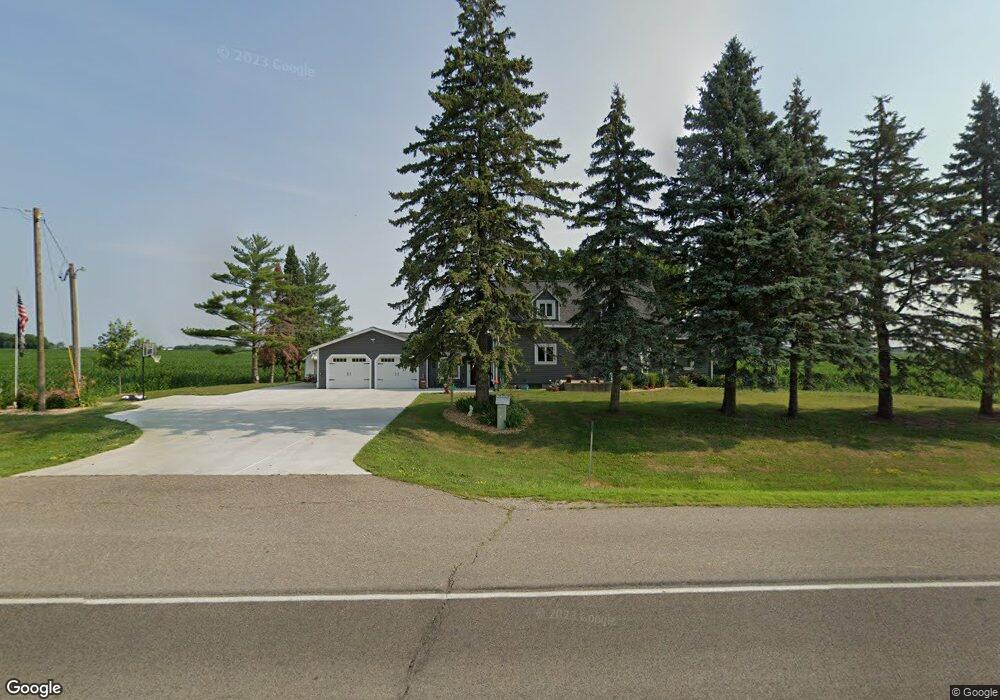
8751 330th St W Northfield, MN 55057
Estimated Value: $400,000 - $451,000
3
Beds
2
Baths
1,512
Sq Ft
$277/Sq Ft
Est. Value
About This Home
This home is located at 8751 330th St W, Northfield, MN 55057 and is currently estimated at $418,980, approximately $277 per square foot. 8751 330th St W is a home located in Dakota County with nearby schools including Bridgewater Elementary School, Northfield Middle School, and Northfield Senior High School.
Ownership History
Date
Name
Owned For
Owner Type
Purchase Details
Closed on
Dec 13, 2019
Sold by
Mendoza Leanna M and Mendoza Billy J
Bought by
Meincke Julie A and Meincke Craig W
Current Estimated Value
Home Financials for this Owner
Home Financials are based on the most recent Mortgage that was taken out on this home.
Original Mortgage
$122,400
Outstanding Balance
$83,277
Interest Rate
3.7%
Mortgage Type
New Conventional
Estimated Equity
$335,703
Purchase Details
Closed on
Dec 6, 1999
Sold by
Sobrak Walter T and Sobrak Lorraine E
Bought by
Sobrak David E and Medoza Leanna M
Create a Home Valuation Report for This Property
The Home Valuation Report is an in-depth analysis detailing your home's value as well as a comparison with similar homes in the area
Home Values in the Area
Average Home Value in this Area
Purchase History
| Date | Buyer | Sale Price | Title Company |
|---|---|---|---|
| Meincke Julie A | $153,000 | None Available | |
| Sobrak David E | -- | None Available |
Source: Public Records
Mortgage History
| Date | Status | Borrower | Loan Amount |
|---|---|---|---|
| Open | Meincke Julie A | $122,400 |
Source: Public Records
Tax History Compared to Growth
Tax History
| Year | Tax Paid | Tax Assessment Tax Assessment Total Assessment is a certain percentage of the fair market value that is determined by local assessors to be the total taxable value of land and additions on the property. | Land | Improvement |
|---|---|---|---|---|
| 2024 | $3,526 | $382,400 | $89,600 | $292,800 |
| 2023 | $3,526 | $399,700 | $91,800 | $307,900 |
| 2022 | $2,888 | $367,200 | $90,800 | $276,400 |
| 2021 | $2,886 | $291,900 | $75,700 | $216,200 |
| 2020 | $2,640 | $274,300 | $73,500 | $200,800 |
| 2019 | $2,519 | $241,600 | $55,400 | $186,200 |
| 2018 | $2,639 | $220,500 | $52,800 | $167,700 |
| 2017 | $2,163 | $224,400 | $52,800 | $171,600 |
| 2016 | $2,293 | $203,600 | $48,000 | $155,600 |
| 2015 | $2,183 | $188,499 | $43,689 | $144,810 |
| 2014 | -- | $173,675 | $41,915 | $131,760 |
| 2013 | -- | $153,619 | $37,198 | $116,421 |
Source: Public Records
Map
Nearby Homes
- TBD Hwy 19 / Lonsdal Lonsdale Blvd E
- 10199 330th St W
- 1211 Lonsdale Blvd E
- XXXXX 330th St
- 7243 Hazelwood Ave
- 31125 Jamaica Ave
- 9206 Edgebrook Dr
- 6415 Hazelwood Ave
- 9816 Base Line Rd
- 8858 298th Ct W
- 1504 Independence Dr Unit 603
- 1507 Independence Dr
- 1105 Hawthorne Ct
- 2184 Bagley Way
- 514 Miller Ln
- 210 Mill St W
- 1108 Greenvale Ave W Unit 2
- 1000 Cannon Valley Dr Unit 143
- 717 Lincoln St N
- 1025 Summerfield Dr
- 2751 Lonsdale Blvd E
- 8513 330th St W
- 9009 330th St W
- 2545 Lonsdale Blvd E
- 8395 330th St W
- 3325 Lonsdale Blvd E
- 2435 Lonsdale Blvd E
- 32441 Holyoke Ave
- 3435 Lonsdale Blvd E
- 9335 330th St W
- 8300 Baldwin Ave
- 8400 Baldwin Ave
- 8075 330th St W
- 9425 330th St W
- 3525 Lonsdale Blvd E
- 3645 Lonsdale Blvd E
- 3647 Lonsdale Blvd E
- 9785 330th St W
- 8777 Baldwin Ave
- 2800 90th St E