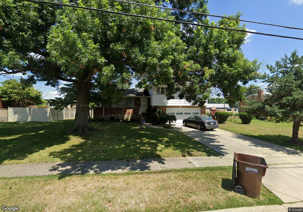
8751 Brent Dr Cincinnati, OH 45231
Finneytown NeighborhoodEstimated Value: $240,356 - $294,000
4
Beds
3
Baths
1,743
Sq Ft
$154/Sq Ft
Est. Value
About This Home
This home is located at 8751 Brent Dr, Cincinnati, OH 45231 and is currently estimated at $268,589, approximately $154 per square foot. 8751 Brent Dr is a home located in Hamilton County with nearby schools including Finneytown Elementary School, Finneytown Secondary Campus, and John Paul II Catholic School.
Ownership History
Date
Name
Owned For
Owner Type
Purchase Details
Closed on
May 13, 2021
Sold by
Briggs Robert D and Briggs Cynthia L
Bought by
Briggs Christopher Patrick Gerard and Briggs Jennifer
Current Estimated Value
Home Financials for this Owner
Home Financials are based on the most recent Mortgage that was taken out on this home.
Original Mortgage
$126,750
Interest Rate
2.8%
Mortgage Type
New Conventional
Purchase Details
Closed on
Jan 27, 2020
Sold by
Estate Of Robert D Briggs Sr
Bought by
Briggs Robert D and Donaldson Mary Michelle
Create a Home Valuation Report for This Property
The Home Valuation Report is an in-depth analysis detailing your home's value as well as a comparison with similar homes in the area
Home Values in the Area
Average Home Value in this Area
Purchase History
| Date | Buyer | Sale Price | Title Company |
|---|---|---|---|
| Briggs Christopher Patrick Gerard | -- | Amrock Inc | |
| Briggs Robert D | -- | None Available |
Source: Public Records
Mortgage History
| Date | Status | Borrower | Loan Amount |
|---|---|---|---|
| Closed | Briggs Christopher Patrick Gerard | $126,750 |
Source: Public Records
Tax History Compared to Growth
Tax History
| Year | Tax Paid | Tax Assessment Tax Assessment Total Assessment is a certain percentage of the fair market value that is determined by local assessors to be the total taxable value of land and additions on the property. | Land | Improvement |
|---|---|---|---|---|
| 2024 | $4,694 | $65,219 | $14,028 | $51,191 |
| 2023 | $4,374 | $65,219 | $14,028 | $51,191 |
| 2022 | $4,445 | $48,091 | $13,241 | $34,850 |
| 2021 | $4,361 | $48,091 | $13,241 | $34,850 |
| 2020 | $3,623 | $48,091 | $13,241 | $34,850 |
| 2019 | $3,188 | $40,754 | $11,221 | $29,533 |
| 2018 | $2,944 | $40,754 | $11,221 | $29,533 |
| 2017 | $2,794 | $40,754 | $11,221 | $29,533 |
| 2016 | $2,646 | $38,648 | $10,210 | $28,438 |
| 2015 | $2,676 | $38,648 | $10,210 | $28,438 |
| 2014 | $2,680 | $38,648 | $10,210 | $28,438 |
| 2013 | $2,924 | $42,473 | $11,221 | $31,252 |
Source: Public Records
Map
Nearby Homes
- 954 Hollytree Dr
- 958 Hollytree Dr
- 8932 Hollyhock Dr
- 8816 Falmouth Dr
- 654 Doepke Ln
- 8405 Arundel Ct
- 9132 Millcliff Dr
- 9197 Long Ln
- 831 Compton Rd
- 1013 Vacationland Dr
- 8608 Long Ln
- 8433 Jonfred Ct
- 8622 Mockingbird Ln
- 1029 Bluejay Dr
- 8627 Mockingbird Ln
- 9319 Winton Rd
- 1100 Gracewind Ct
- 729 Fleming Rd
- 9315 Winton Rd
- 9458 Long Ln