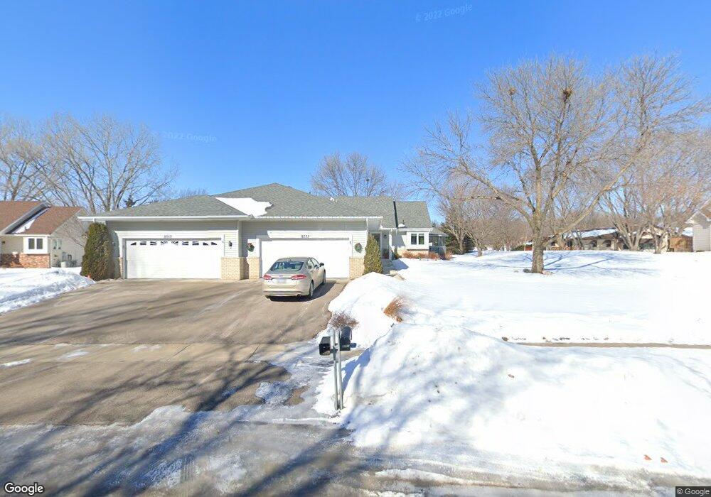
8755 135th St W Saint Paul, MN 55124
Alimagnet NeighborhoodEstimated Value: $329,000 - $416,232
2
Beds
3
Baths
2,454
Sq Ft
$151/Sq Ft
Est. Value
About This Home
This home is located at 8755 135th St W, Saint Paul, MN 55124 and is currently estimated at $371,308, approximately $151 per square foot. 8755 135th St W is a home located in Dakota County with nearby schools including Westview Elementary School, Falcon Ridge Middle School, and Apple Valley Senior High School.
Ownership History
Date
Name
Owned For
Owner Type
Purchase Details
Closed on
Apr 9, 2021
Sold by
Fensterman Donald W and Fensterman Marilyn K
Bought by
Buerkle Connie
Current Estimated Value
Purchase Details
Closed on
May 28, 1998
Sold by
Erickson Russell G and Erickson Betty J
Bought by
Fenslerman Donald W and Fenslerman Marilyn
Create a Home Valuation Report for This Property
The Home Valuation Report is an in-depth analysis detailing your home's value as well as a comparison with similar homes in the area
Home Values in the Area
Average Home Value in this Area
Purchase History
| Date | Buyer | Sale Price | Title Company |
|---|---|---|---|
| Buerkle Connie | $329,000 | Executive Title | |
| Fenslerman Donald W | $150,000 | -- | |
| Buerkle Connie Connie | $329,000 | -- |
Source: Public Records
Tax History Compared to Growth
Tax History
| Year | Tax Paid | Tax Assessment Tax Assessment Total Assessment is a certain percentage of the fair market value that is determined by local assessors to be the total taxable value of land and additions on the property. | Land | Improvement |
|---|---|---|---|---|
| 2024 | $3,784 | $333,100 | $65,700 | $267,400 |
| 2023 | $3,486 | $333,400 | $65,800 | $267,600 |
| 2022 | $3,194 | $332,900 | $65,600 | $267,300 |
| 2021 | $3,156 | $282,800 | $57,000 | $225,800 |
| 2020 | $3,120 | $273,900 | $54,300 | $219,600 |
| 2019 | $2,692 | $263,600 | $51,700 | $211,900 |
| 2018 | $2,484 | $240,600 | $49,300 | $191,300 |
| 2017 | $2,432 | $215,300 | $46,900 | $168,400 |
| 2016 | $2,441 | $201,800 | $44,700 | $157,100 |
| 2015 | $2,066 | $181,196 | $39,603 | $141,593 |
| 2014 | -- | $153,510 | $37,018 | $116,492 |
| 2013 | -- | $149,477 | $34,032 | $115,445 |
Source: Public Records
Map
Nearby Homes
- 13591 Hollybrook Way
- 13599 Hollybrook Dr
- 13609 Hollybrook Dr
- 13613 Hollybrook Dr
- 13306 Huntington Cir
- The Sophia Plan at Eagle Pointe - Townhomes
- The Amelia Plan at Eagle Pointe - Townhomes
- The Magnolia Plan at Eagle Pointe - Townhomes
- The Nolan Plan at Eagle Pointe - Townhomes
- 13727 Hollybrook Cir
- 13731 Hollybrook Cir
- 13345 Huntington Cir
- 13751 Hollybrook Cir
- 13820 Holyoke Path
- 13761 Hollybrook Cir
- 13749 Heywood Ct
- 451 Reflection Rd
- 1408 McAndrews Rd E Unit 8
- 13101 Heritage Way
- 14132 Heywood Path
- 8757 135th St W
- 8733 135th St W
- 8775 8775 135th-Street-w
- 8775 135th St W
- 8731 135th St W
- 8768 134th St W
- 8776 134th St W
- 8784 134th St W
- 8742 134th St W
- 8787 135th St W
- 8792 134th St W
- 8746 134th St W
- 8713 135th St W
- 8750 8750 134th-Street-w
- 8750 134th St W
- 8750 135th St W
- 8754 134th St W
- 8791 135th St W
- 8720 8720 135th-Street-w
- 8720 135th St W