878 N 1928th Rd Lecompton, KS 66050
Scenic Riverway NeighborhoodEstimated Value: $806,000 - $910,631
4
Beds
4
Baths
6,466
Sq Ft
$133/Sq Ft
Est. Value
About This Home
This home is located at 878 N 1928th Rd, Lecompton, KS 66050 and is currently estimated at $858,316, approximately $132 per square foot. 878 N 1928th Rd is a home located in Douglas County with nearby schools including Lecompton Elementary School, Perry-Lecompton Middle School, and Perry-Lecompton High School.
Ownership History
Date
Name
Owned For
Owner Type
Purchase Details
Closed on
Feb 28, 2011
Sold by
Moundview Llc
Bought by
Ibrahim Salah A
Current Estimated Value
Purchase Details
Closed on
Oct 13, 2003
Sold by
Terravest Development Corp
Bought by
Stewart John T
Home Financials for this Owner
Home Financials are based on the most recent Mortgage that was taken out on this home.
Original Mortgage
$534,309
Interest Rate
5.99%
Mortgage Type
Purchase Money Mortgage
Create a Home Valuation Report for This Property
The Home Valuation Report is an in-depth analysis detailing your home's value as well as a comparison with similar homes in the area
Home Values in the Area
Average Home Value in this Area
Purchase History
| Date | Buyer | Sale Price | Title Company |
|---|---|---|---|
| Ibrahim Salah A | -- | None Available | |
| Stewart John T | -- | -- |
Source: Public Records
Mortgage History
| Date | Status | Borrower | Loan Amount |
|---|---|---|---|
| Previous Owner | Stewart John T | $534,309 |
Source: Public Records
Tax History
| Year | Tax Paid | Tax Assessment Tax Assessment Total Assessment is a certain percentage of the fair market value that is determined by local assessors to be the total taxable value of land and additions on the property. | Land | Improvement |
|---|---|---|---|---|
| 2025 | $11,336 | $97,681 | $11,199 | $86,482 |
| 2024 | $11,185 | $96,554 | $10,813 | $85,741 |
| 2023 | $10,402 | $87,285 | $10,043 | $77,242 |
| 2022 | $10,576 | $85,744 | $8,502 | $77,242 |
| 2021 | $9,386 | $73,163 | $8,348 | $64,815 |
| 2020 | $8,803 | $69,725 | $8,348 | $61,377 |
| 2019 | $8,365 | $66,367 | $8,040 | $58,327 |
| 2018 | $8,375 | $66,274 | $7,959 | $58,315 |
| 2017 | $8,257 | $65,009 | $7,959 | $57,050 |
| 2016 | $7,759 | $62,089 | $4,506 | $57,583 |
| 2015 | -- | $62,089 | $4,506 | $57,583 |
| 2014 | -- | $62,089 | $4,506 | $57,583 |
Source: Public Records
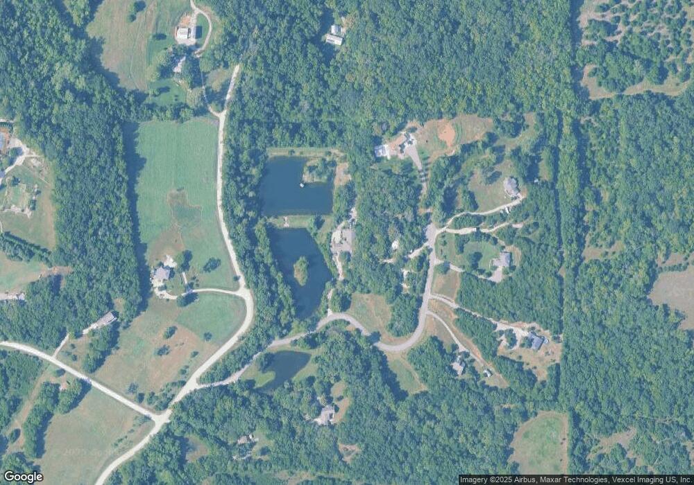
Map
Nearby Homes
- 1937 E 850 Rd
- 1770 E 960 Rd
- 6800 Lakeview Rd
- 0000 N 1851 Diag Rd
- 663 N 1851 Diag Rd
- 611 Jones St
- 323 N Eaton Dr
- 1003 2nd St
- 5117 Parker Ct
- 00000 Vacant - Phillips Rd
- 0000 E 600 Rd
- 205 Campbell Ct
- 5237 Carson Dr
- 237 Landon Ct
- 5616 Maggie Way
- Lot 2 N Running Ridge Rd
- 5901 Maggie Way
- 5245 Overland Dr Unit C9
- 5245 Overland Dr Unit B25
- 406 N Olivia Ave
- 878 N 1928 Rd
- 899 N 1928 Rd
- 899 N 1928th Rd Unit B
- 899 B N 1928 Rd
- 1940 E 850th Rd
- 889 N 1928th Rd
- 889 N 1928 Rd
- 881 N 1928 Rd
- 881 N 1928th Rd
- 1940 E 850 Rd
- 873 N 1928th Rd
- 1935 E 850th Rd
- 898 N 1928th Rd
- 1958 E 850th Rd
- 885 N 1928th Rd
- 885 N 1928 Rd
- 1924 E 850th Rd
- 1951 E 850th Rd
- 848 N 1925th Rd
- 1962 E 850th Rd
Your Personal Tour Guide
Ask me questions while you tour the home.