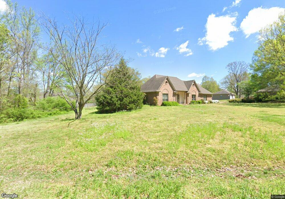
8780 Robertson Ln S Olive Branch, MS 38654
Lewisburg NeighborhoodEstimated Value: $348,000 - $394,000
3
Beds
3
Baths
2,358
Sq Ft
$155/Sq Ft
Est. Value
About This Home
This home is located at 8780 Robertson Ln S, Olive Branch, MS 38654 and is currently estimated at $366,000, approximately $155 per square foot. 8780 Robertson Ln S is a home with nearby schools including Lewisburg Primary School, Lewisburg Elementary School, and Lewisburg Middle School.
Ownership History
Date
Name
Owned For
Owner Type
Purchase Details
Closed on
Jun 26, 2020
Sold by
Watson Catherine A and Pirtle John M
Bought by
Edmunds Rebecca H and Edmunds Jonathan K
Current Estimated Value
Home Financials for this Owner
Home Financials are based on the most recent Mortgage that was taken out on this home.
Original Mortgage
$252,225
Interest Rate
3.05%
Mortgage Type
New Conventional
Create a Home Valuation Report for This Property
The Home Valuation Report is an in-depth analysis detailing your home's value as well as a comparison with similar homes in the area
Home Values in the Area
Average Home Value in this Area
Purchase History
| Date | Buyer | Sale Price | Title Company |
|---|---|---|---|
| Edmunds Rebecca H | $265,500 | Servicelink |
Source: Public Records
Mortgage History
| Date | Status | Borrower | Loan Amount |
|---|---|---|---|
| Previous Owner | Edmunds Rebecca H | $252,225 |
Source: Public Records
Tax History Compared to Growth
Tax History
| Year | Tax Paid | Tax Assessment Tax Assessment Total Assessment is a certain percentage of the fair market value that is determined by local assessors to be the total taxable value of land and additions on the property. | Land | Improvement |
|---|---|---|---|---|
| 2025 | $2,448 | $24,244 | $2,000 | $22,244 |
| 2024 | $1,774 | $17,565 | $2,000 | $15,565 |
| 2023 | $1,774 | $17,565 | $0 | $0 |
| 2022 | $1,774 | $17,565 | $2,000 | $15,565 |
| 2021 | $1,774 | $17,565 | $2,000 | $15,565 |
| 2020 | $891 | $16,320 | $2,000 | $14,320 |
| 2019 | $891 | $16,320 | $2,000 | $14,320 |
| 2017 | $871 | $30,136 | $16,068 | $14,068 |
| 2016 | $880 | $16,157 | $2,000 | $14,157 |
| 2015 | $1,643 | $30,314 | $16,157 | $14,157 |
| 2014 | $880 | $16,157 | $0 | $0 |
| 2013 | $936 | $16,157 | $0 | $0 |
Source: Public Records
Map
Nearby Homes
- 8900 Elizabeth Cove
- 9100 E Broadway Rd
- 5293 Borden Creek Dr
- 5291 Borden Creek Dr
- 0 Bethel Rd Unit 4096893
- 9278 Bethel Rd
- 9278 Woolsey Rd
- 1615 Highway 305 N
- 8279 Dunn Ln E
- 3344 Belmor Crossing
- 0 Woolsey Rd
- Willow Plan at The Orchard
- Huntington Plan at The Orchard
- Albany Plan at The Orchard
- Chestnut Plan at The Orchard
- Bentley Plan at The Orchard
- 9112 Cedar Barn Cove
- 9143 Apple Orchard Cove
- 8433 Lakeview Dr
- 1970 Planter's Dr
- 8765 Robertson Ln S
- 8820 Robertson Ln S
- 8775 Robertson Ln N
- 8745 Thomas Ln
- 8785 Robertson Ln N
- 8787 Robertson Ln S
- 8750 Thomas Ln
- 8825 Robertson Ln S
- 8805 Robertson Ln N
- 8860 Robertson Ln S
- 8725 Thomas Ln
- 8770 Robertson Ln N
- 8835 Robertson Ln N
- 8875 Robertson Ln S
- 8088 Elizabeth Cove
- 8778 Robertson Ln N
- 8732 Catherine Cove
- 8786 Robertson Ln N
- 8705 Thomas Ln
- 8720 Thomas Ln