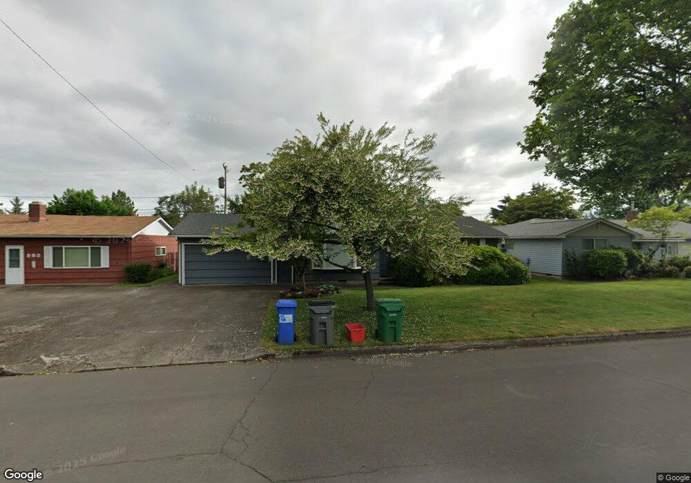
879 Armstrong Ave Eugene, OR 97404
River Road NeighborhoodEstimated Value: $352,000 - $377,000
About This Home
This home is located at 879 Armstrong Ave, Eugene, OR 97404 and is currently estimated at $364,477, approximately $358 per square foot. 879 Armstrong Ave is a home located in Lane County with nearby schools including Howard Elementary School, Kelly Middle School, and North Eugene High School.
Ownership History
We collect this data history from publicly available records. To have your information removed, we recommend requesting removal directly through your county’s website.
Purchase Details
Purchase Details
Home Values in the Area
Average Home Value in this Area
Purchase History
We collect this data history from publicly available records. To have your information removed, we recommend requesting removal directly through your county’s website.
| Date | Buyer | Sale Price | Title Company |
|---|---|---|---|
| -- | None Listed On Document | ||
| -- | None Listed On Document | ||
| -- | None Available |
Tax History
We collect this data history from publicly available records. To have your information removed, we recommend requesting removal directly through your county’s website.
| Year | Tax Paid | Tax Assessment Tax Assessment Total Assessment is a certain percentage of the fair market value that is determined by local assessors to be the total taxable value of land and additions on the property. | Land | Improvement |
|---|---|---|---|---|
| 2025 | $2,791 | $192,442 | -- | -- |
| 2024 | $2,761 | $186,837 | -- | -- |
| 2023 | $2,761 | $181,396 | $0 | $0 |
| 2022 | $2,597 | $176,113 | $0 | $0 |
| 2021 | $2,415 | $170,984 | $0 | $0 |
| 2020 | $2,432 | $166,004 | $0 | $0 |
| 2019 | $2,346 | $161,169 | $0 | $0 |
| 2018 | $2,186 | $151,917 | $0 | $0 |
| 2017 | $2,041 | $151,917 | $0 | $0 |
| 2016 | $1,924 | $147,492 | $0 | $0 |
| 2015 | $1,851 | $143,196 | $0 | $0 |
| 2014 | $1,841 | $139,025 | $0 | $0 |
Map
- 1805 Hemlock St
- 1140 Molly Ln
- 1682 Hemlock St
- 605 Kourt Dr
- 907 Howard Ave
- 903 Howard Ave
- 352 Ruby Ave
- 963 Pennington Ct
- 445 Sterling Dr
- 1764 Allea Dr
- 447 Maxwell Rd
- 1880 Manihi Dr
- 389 Maxwell Rd
- 2562 Dover Dr
- 831 Greenwich Ave
- 2439 Quince St
- 2565 Dover Dr
- 2301 Compton St
- 301 Irving Rd
- 233 Howard Ave
- 883 Armstrong Ave
- 889 Armstrong Ave
- 870 Sunview St
- 880 Sunview St
- 873 Armstrong Ave
- 888 Armstrong Ave
- 860 Sunview St
- 1923 N Park Ave
- 876 Armstrong Ave
- 890 Sunview St
- 896 Armstrong Ave
- 850 Sunview St
- 869 Armstrong Ave
- 1874 Alderwood St
- 1867 N Park Ave
- 870 Armstrong Ave
- 840 Sunview St
- 851 Armstrong Ave
- 1856 Alderwood St
- 879 Sunview St
Ask me questions while you tour the home.