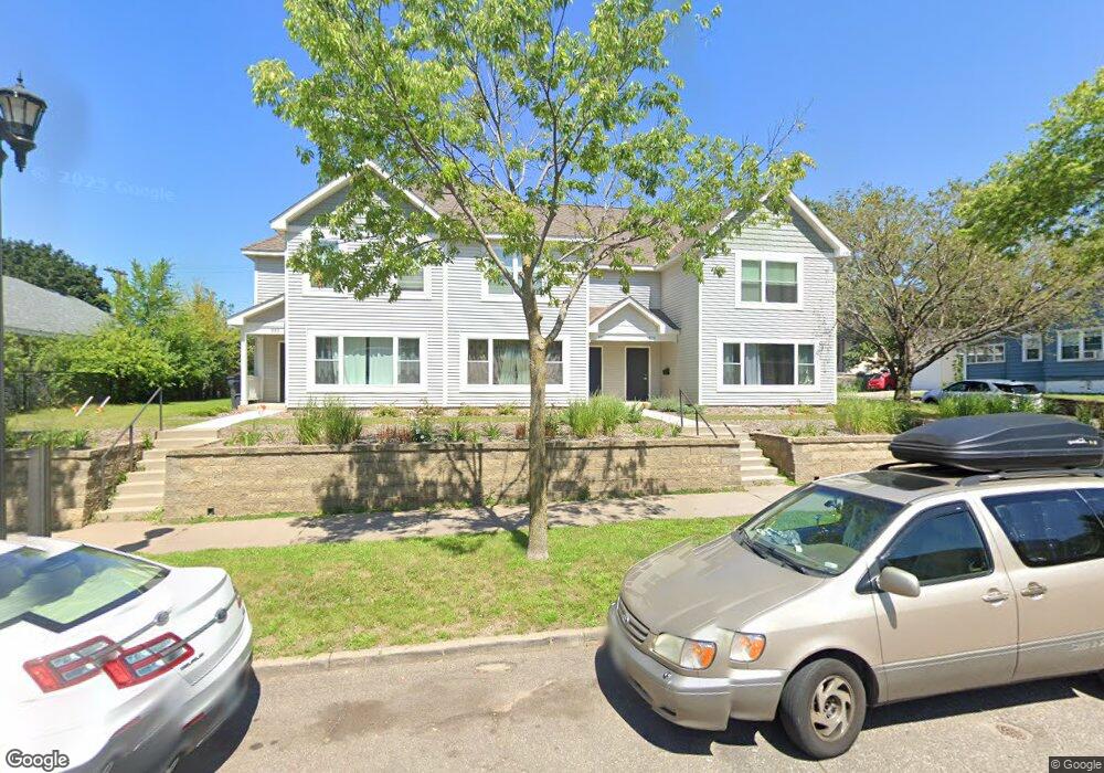
879 Selby Ave Saint Paul, MN 55104
Summit-University NeighborhoodEstimated Value: $589,000 - $612,000
9
Beds
3
Baths
4,432
Sq Ft
$135/Sq Ft
Est. Value
About This Home
This home is located at 879 Selby Ave, Saint Paul, MN 55104 and is currently estimated at $600,500, approximately $135 per square foot. 879 Selby Ave is a home located in Ramsey County with nearby schools including Maxfield Magnet Elementary School, Hidden River Middle School, and Central Senior High School.
Ownership History
Date
Name
Owned For
Owner Type
Purchase Details
Closed on
Dec 13, 2022
Sold by
Selby Commons Limited Partnership
Bought by
Selby Wilkins Lllp
Current Estimated Value
Home Financials for this Owner
Home Financials are based on the most recent Mortgage that was taken out on this home.
Original Mortgage
$81,296
Outstanding Balance
$78,700
Interest Rate
6.61%
Mortgage Type
New Conventional
Estimated Equity
$521,800
Create a Home Valuation Report for This Property
The Home Valuation Report is an in-depth analysis detailing your home's value as well as a comparison with similar homes in the area
Home Values in the Area
Average Home Value in this Area
Purchase History
| Date | Buyer | Sale Price | Title Company |
|---|---|---|---|
| Selby Wilkins Lllp | $3,859,743 | -- |
Source: Public Records
Mortgage History
| Date | Status | Borrower | Loan Amount |
|---|---|---|---|
| Open | Selby Wilkins Lllp | $81,296 |
Source: Public Records
Tax History Compared to Growth
Tax History
| Year | Tax Paid | Tax Assessment Tax Assessment Total Assessment is a certain percentage of the fair market value that is determined by local assessors to be the total taxable value of land and additions on the property. | Land | Improvement |
|---|---|---|---|---|
| 2025 | $5,918 | $540,300 | $68,400 | $471,900 |
| 2023 | $5,918 | $478,300 | $68,400 | $409,900 |
| 2022 | $5,644 | $415,800 | $68,400 | $347,400 |
| 2021 | $4,768 | $398,000 | $68,400 | $329,600 |
| 2020 | $4,868 | $390,300 | $68,400 | $321,900 |
| 2018 | $4,212 | $318,900 | $68,400 | $250,500 |
| 2017 | $3,800 | $288,500 | $68,400 | $220,100 |
| 2016 | $4,508 | $0 | $0 | $0 |
| 2015 | $4,140 | $264,000 | $37,000 | $227,000 |
| 2014 | -- | $0 | $0 | $0 |
Source: Public Records
Map
Nearby Homes
- 937 Hague Ave
- 909 Marshall Ave
- 853 Iglehart Ave
- 811 Ashland Ave
- 987 Dayton Ave
- 291 Fisk St
- 957 Ashland Ave
- 69 Milton St N Unit 3
- 797 Iglehart Ave
- 1002 Marshall Ave
- 742 Hague Ave
- 298 Avon St N
- 969 Carroll Ave
- 1048 Marshall Ave
- 861 Saint Anthony Ave
- 742 Holly Ave
- 1069 Laurel Ave
- 681 Dayton Ave
- 818 Summit Ave
- 704 Holly Ave