88 Bluestone Dr Nashua, NH 03060
Southeast Nashua NeighborhoodEstimated Value: $356,141 - $376,000
2
Beds
2
Baths
1,312
Sq Ft
$280/Sq Ft
Est. Value
About This Home
This home is located at 88 Bluestone Dr, Nashua, NH 03060 and is currently estimated at $367,535, approximately $280 per square foot. 88 Bluestone Dr is a home located in Hillsborough County with nearby schools including Sunset Heights Elementary School, Elm Street Middle School, and Nashua High School South.
Ownership History
Date
Name
Owned For
Owner Type
Purchase Details
Closed on
Jun 10, 2009
Sold by
Kostoulakos Ret
Bought by
Sokolovskiy Oleksiy
Current Estimated Value
Home Financials for this Owner
Home Financials are based on the most recent Mortgage that was taken out on this home.
Original Mortgage
$120,000
Outstanding Balance
$76,022
Interest Rate
4.82%
Mortgage Type
Purchase Money Mortgage
Estimated Equity
$291,513
Purchase Details
Closed on
Jul 27, 2000
Sold by
Foran Barbara J
Bought by
Kostoulakos Thomas J and Kostoulakos Shirley K
Create a Home Valuation Report for This Property
The Home Valuation Report is an in-depth analysis detailing your home's value as well as a comparison with similar homes in the area
Home Values in the Area
Average Home Value in this Area
Purchase History
| Date | Buyer | Sale Price | Title Company |
|---|---|---|---|
| Sokolovskiy Oleksiy | $150,000 | -- | |
| Kostoulakos Thomas J | $102,000 | -- |
Source: Public Records
Mortgage History
| Date | Status | Borrower | Loan Amount |
|---|---|---|---|
| Open | Kostoulakos Thomas J | $120,000 |
Source: Public Records
Tax History Compared to Growth
Tax History
| Year | Tax Paid | Tax Assessment Tax Assessment Total Assessment is a certain percentage of the fair market value that is determined by local assessors to be the total taxable value of land and additions on the property. | Land | Improvement |
|---|---|---|---|---|
| 2023 | $4,563 | $250,300 | $0 | $250,300 |
| 2022 | $4,523 | $250,300 | $0 | $250,300 |
| 2021 | $3,606 | $155,300 | $0 | $155,300 |
| 2020 | $3,511 | $155,300 | $0 | $155,300 |
| 2019 | $3,379 | $155,300 | $0 | $155,300 |
| 2018 | $3,294 | $155,300 | $0 | $155,300 |
| 2017 | $3,066 | $118,900 | $0 | $118,900 |
| 2016 | $2,981 | $118,900 | $0 | $118,900 |
| 2015 | $2,917 | $118,900 | $0 | $118,900 |
| 2014 | $2,860 | $118,900 | $0 | $118,900 |
Source: Public Records
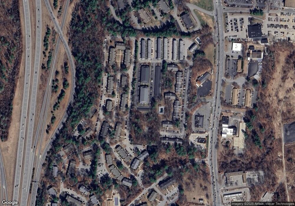
Map
Nearby Homes
- 73 Bluestone Dr
- 113 Bluestone Dr
- 9 Louisburg Square Unit U12
- 1 Louisburg Square Unit 2
- 5 Autumn Leaf Dr Unit 13
- 4 April Dr
- H2 Black Oak Dr Unit 2
- 98 Peele Rd
- 6 Heritage Village Dr Unit U408
- 7 Fairhaven Rd
- 16 Emerson Rd
- 30 Clearview Dr
- 43b River Rd
- 29 Dickens St
- 12 Strawberry Bank Rd Unit 14
- 28 Timberline Dr
- 49 Hawthorne Village Rd Unit U367
- 29 Hawthorne Village Rd Unit U357
- 125 Hawthorne Village Rd Unit U404
- 84 Hawthorne Village Rd Unit U414
- 78 Bluestone Dr
- 78 Bluestone Dr Unit U 78
- 68 Bluestone Dr
- 90 Bluestone Dr
- 87 Bluestone Dr
- 80 Bluestone Dr
- 86 Bluestone Dr
- 76 Bluestone Dr
- 77 Bluestone Dr
- 89 Bluestone Dr
- 67 Bluestone Dr
- 79 Bluestone Dr
- 85 Bluestone Dr
- 69 Bluestone Dr
- 69 Bluestone Dr
- 75 Bluestone Dr
- 65 Bluestone Dr
- 66 Bluestone Dr
- 64 Bluestone Dr
- 64 Bluestone Dr Unit 64