Estimated Value: $312,000 - $355,108
2
Beds
2
Baths
1,176
Sq Ft
$277/Sq Ft
Est. Value
About This Home
This home is located at 88 Dugan Rd, Ware, MA 01082 and is currently estimated at $326,277, approximately $277 per square foot. 88 Dugan Rd is a home located in Hampshire County with nearby schools including Stanley M. Koziol Elementary School, Ware Middle School, and Ware Junior/Senior High School.
Ownership History
Date
Name
Owned For
Owner Type
Purchase Details
Closed on
Jul 3, 2013
Sold by
Topor Michael A and Topor Randy S
Bought by
Liquornik Lynn A and Maslanka Richard
Current Estimated Value
Home Financials for this Owner
Home Financials are based on the most recent Mortgage that was taken out on this home.
Original Mortgage
$128,000
Outstanding Balance
$29,723
Interest Rate
3.59%
Mortgage Type
New Conventional
Estimated Equity
$296,554
Create a Home Valuation Report for This Property
The Home Valuation Report is an in-depth analysis detailing your home's value as well as a comparison with similar homes in the area
Home Values in the Area
Average Home Value in this Area
Purchase History
| Date | Buyer | Sale Price | Title Company |
|---|---|---|---|
| Liquornik Lynn A | $160,000 | -- |
Source: Public Records
Mortgage History
| Date | Status | Borrower | Loan Amount |
|---|---|---|---|
| Open | Liquornik Lynn A | $128,000 | |
| Previous Owner | Liquornik Lynn A | $32,000 |
Source: Public Records
Tax History Compared to Growth
Tax History
| Year | Tax Paid | Tax Assessment Tax Assessment Total Assessment is a certain percentage of the fair market value that is determined by local assessors to be the total taxable value of land and additions on the property. | Land | Improvement |
|---|---|---|---|---|
| 2025 | $4,330 | $287,500 | $54,100 | $233,400 |
| 2024 | $4,146 | $253,900 | $51,000 | $202,900 |
| 2023 | $4,009 | $232,300 | $49,300 | $183,000 |
| 2022 | $4,011 | $207,400 | $45,600 | $161,800 |
| 2021 | $3,919 | $194,200 | $45,600 | $148,600 |
| 2020 | $3,817 | $185,000 | $45,600 | $139,400 |
| 2019 | $3,739 | $185,000 | $45,600 | $139,400 |
| 2018 | $3,606 | $174,100 | $44,400 | $129,700 |
| 2017 | $3,388 | $163,100 | $44,400 | $118,700 |
| 2016 | $3,296 | $163,100 | $44,400 | $118,700 |
| 2015 | $3,205 | $163,100 | $44,400 | $118,700 |
| 2014 | $3,100 | $169,300 | $45,800 | $123,500 |
Source: Public Records
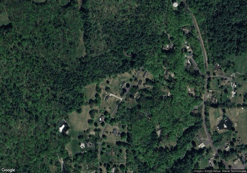
Map
Nearby Homes
- 375 Belchertown Rd
- 67 Babcock Tavern Rd
- Lot 16 Coldbrook Dr
- Lot 20 Coldbrook Dr
- Lot 22 Coldbrook Dr
- Lot 13 Coldbrook Dr
- Lot 25 Coldbrook Dr
- 201 Belchertown Rd
- 201 West St
- 28 Gould St
- LOT 3 Monson Turnpike Rd
- 87 W Main St
- 20 Indian Hill Rd
- 0 Beach Rd
- 248 Monson Turnpike Rd
- 14 Laurel Dr
- 23 West St Unit 25
- 113 Greenwich Plains Rd
- 7 Webb Ct
- 24 Monson Turnpike Rd