88 West Point Rd Moultonborough, NH 03254
Estimated Value: $4,733,000 - $6,549,211
4
Beds
6
Baths
5,611
Sq Ft
$1,024/Sq Ft
Est. Value
About This Home
This home is located at 88 West Point Rd, Moultonborough, NH 03254 and is currently estimated at $5,743,404, approximately $1,023 per square foot. 88 West Point Rd is a home located in Carroll County with nearby schools including Moultonborough Central School and Moultonborough Academy High School.
Ownership History
Date
Name
Owned For
Owner Type
Purchase Details
Closed on
Jan 7, 2022
Sold by
D Boomsma J and Wallace K
Bought by
Skala Erik J and Skala Emmanuelle G
Current Estimated Value
Purchase Details
Closed on
Oct 25, 2010
Sold by
Joseph P Grimes Ret and Grimes
Bought by
Boomsma and Boomsma Wallace T
Home Financials for this Owner
Home Financials are based on the most recent Mortgage that was taken out on this home.
Original Mortgage
$985,600
Interest Rate
4.37%
Mortgage Type
Purchase Money Mortgage
Create a Home Valuation Report for This Property
The Home Valuation Report is an in-depth analysis detailing your home's value as well as a comparison with similar homes in the area
Home Values in the Area
Average Home Value in this Area
Purchase History
| Date | Buyer | Sale Price | Title Company |
|---|---|---|---|
| Skala Erik J | $5,400,000 | None Available | |
| Boomsma | $1,350,000 | -- |
Source: Public Records
Mortgage History
| Date | Status | Borrower | Loan Amount |
|---|---|---|---|
| Previous Owner | Boomsma | $985,600 |
Source: Public Records
Tax History Compared to Growth
Tax History
| Year | Tax Paid | Tax Assessment Tax Assessment Total Assessment is a certain percentage of the fair market value that is determined by local assessors to be the total taxable value of land and additions on the property. | Land | Improvement |
|---|---|---|---|---|
| 2024 | $21,313 | $3,772,300 | $2,398,300 | $1,374,000 |
| 2023 | $20,039 | $3,515,600 | $2,141,400 | $1,374,200 |
| 2022 | $14,397 | $3,012,000 | $1,749,200 | $1,262,800 |
| 2021 | $16,955 | $2,429,100 | $1,338,200 | $1,090,900 |
| 2020 | $15,205 | $2,132,600 | $1,107,300 | $1,025,300 |
| 2019 | $9,525 | $1,332,200 | $1,076,200 | $256,000 |
| 2018 | $8,864 | $1,148,200 | $922,500 | $225,700 |
| 2017 | $9,372 | $1,140,200 | $922,500 | $217,700 |
| 2016 | $9,987 | $1,142,700 | $938,600 | $204,100 |
| 2015 | $10,113 | $1,122,400 | $938,600 | $183,800 |
| 2014 | $10,263 | $1,158,300 | $969,900 | $188,400 |
| 2013 | $10,066 | $1,158,300 | $969,900 | $188,400 |
Source: Public Records
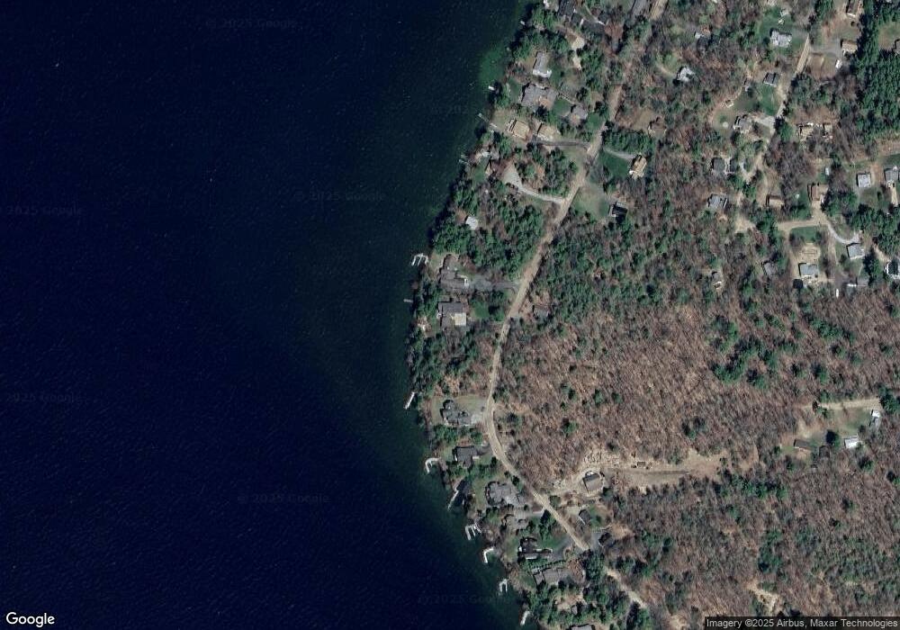
Map
Nearby Homes
- 130 W Point Rd
- 62 W Point Rd
- 19 Alderberry Ln
- 10 Woodridge Rd
- 167 Long Island Rd
- 42 High Ridge Rd
- 109 Leaward Shores Rd
- 00 Moultonboro Neck Rd Unit 2
- 00 Moultonboro Neck Rd
- 00 Rivers Rd
- 16 Long Island Rd
- 9 Starboard Ln Unit 1
- 11 Portside Dr Unit 4
- 00 Beede Rd
- 47 Pot O Beans Rd
- 65 Beede Rd
- 35 Echo Landing Rd
- 484 Long Island Rd
- 23 Harbourside Dr
- 31 Rays Way
- 88 W Point Rd
- 85 W Point Rd
- 80 West Point Rd
- 92 West Point Rd
- 100 West Point Rd
- 76 W Point Rd
- 76 West Point Rd
- 112 West Point Rd
- 75 W Point Rd
- 75 West Point Rd
- 116 W Point Rd
- 116 West Point Rd
- 70 West Point Rd
- 71 West Point Rd
- 124 West Point Rd
- 68 Woodrin Rd
- 66 West Point Rd
- 69 West Point Rd
- 130 West Point Rd
- 64 Woodrin Rd