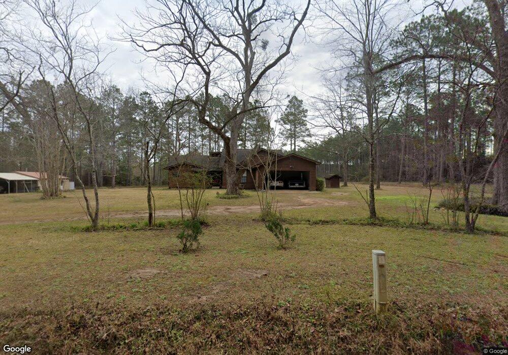
880 Blaine Cir Quitman, GA 31643
Estimated Value: $215,000 - $285,000
3
Beds
2
Baths
1,640
Sq Ft
$148/Sq Ft
Est. Value
About This Home
This home is located at 880 Blaine Cir, Quitman, GA 31643 and is currently estimated at $242,972, approximately $148 per square foot. 880 Blaine Cir is a home located in Brooks County with nearby schools including North Brooks Elementary School.
Ownership History
Date
Name
Owned For
Owner Type
Purchase Details
Closed on
Aug 4, 1999
Sold by
Gunter Elton C
Bought by
Parks Dale Wesley and Tonya Kay
Current Estimated Value
Purchase Details
Closed on
Jan 27, 1994
Sold by
Barrett Joseph Keith
Bought by
Culpepper Charlie M and Culpepper Angela D
Purchase Details
Closed on
Oct 2, 1990
Sold by
Spencer Barbara
Bought by
Barrett Joseph Keith
Purchase Details
Closed on
Jun 25, 1986
Sold by
Wilson Charles E
Bought by
Spencer Barbara
Create a Home Valuation Report for This Property
The Home Valuation Report is an in-depth analysis detailing your home's value as well as a comparison with similar homes in the area
Home Values in the Area
Average Home Value in this Area
Purchase History
| Date | Buyer | Sale Price | Title Company |
|---|---|---|---|
| Parks Dale Wesley | $86,500 | -- | |
| Culpepper Charlie M | $75,000 | -- | |
| Barrett Joseph Keith | $11,500 | -- | |
| Spencer Barbara | -- | -- |
Source: Public Records
Tax History Compared to Growth
Tax History
| Year | Tax Paid | Tax Assessment Tax Assessment Total Assessment is a certain percentage of the fair market value that is determined by local assessors to be the total taxable value of land and additions on the property. | Land | Improvement |
|---|---|---|---|---|
| 2024 | $2,164 | $69,772 | $4,040 | $65,732 |
| 2023 | $2,169 | $69,972 | $3,520 | $66,452 |
| 2022 | $2,089 | $60,932 | $3,360 | $57,572 |
| 2021 | $1,705 | $48,732 | $3,360 | $45,372 |
| 2020 | $1,361 | $49,012 | $3,360 | $45,652 |
| 2019 | $1,490 | $42,772 | $3,360 | $39,412 |
| 2018 | $1,261 | $43,172 | $3,200 | $39,972 |
| 2017 | $1,336 | $37,852 | $3,200 | $34,652 |
| 2016 | $1,381 | $38,332 | $3,200 | $35,132 |
| 2015 | -- | $38,012 | $3,200 | $34,812 |
| 2014 | -- | $38,492 | $3,200 | $35,292 |
| 2013 | -- | $38,492 | $3,200 | $35,292 |
Source: Public Records
Map
Nearby Homes
- 61 Trail of Hawk Rd
- 248 Jamar Trail
- 270 Jamar Trail
- 288 Jamar Trail
- 295 Sunflower
- 471 Jamar Trail
- 6818 Troupeville Rd
- 8262 Troupeville Rd
- 4386 Studstill Rd
- 16000 Valdosta Hwy
- 17 Green Lake Cir
- 51 Green Lake Cir
- 3924 Timber Ridge Rd
- 3904 Timber Ridge Rd
- 3902 Bear Hollow
- 51 Quail Dr
- 3906 Loblolly Ln
- 3897 Bear Hollow
- 3652 Bear Lake Rd
- 3883 Bear Hollow
- 808 Blaine Cir
- 6260 Troupeville Rd
- 6126 Troupeville Rd
- 748 Blaine Cir
- 6121 Troupeville Rd
- 6209 Troupeville Rd
- 6271 Troupeville Rd
- 6340 Troupeville Rd
- 6177 Troupeville Rd
- 48 Sunflower Trail
- 6091 Troupeville Rd
- 72 Sunflower Trail
- 336 Ramblin Rd
- 367 Sunflower
- 362 Ramblin Rd
- 82 Sunflower Trail
- 6055 Troupeville Rd
- 248 Ramblin Rd
- 394 Ramblin Rd
- 6029 Troupeville Rd