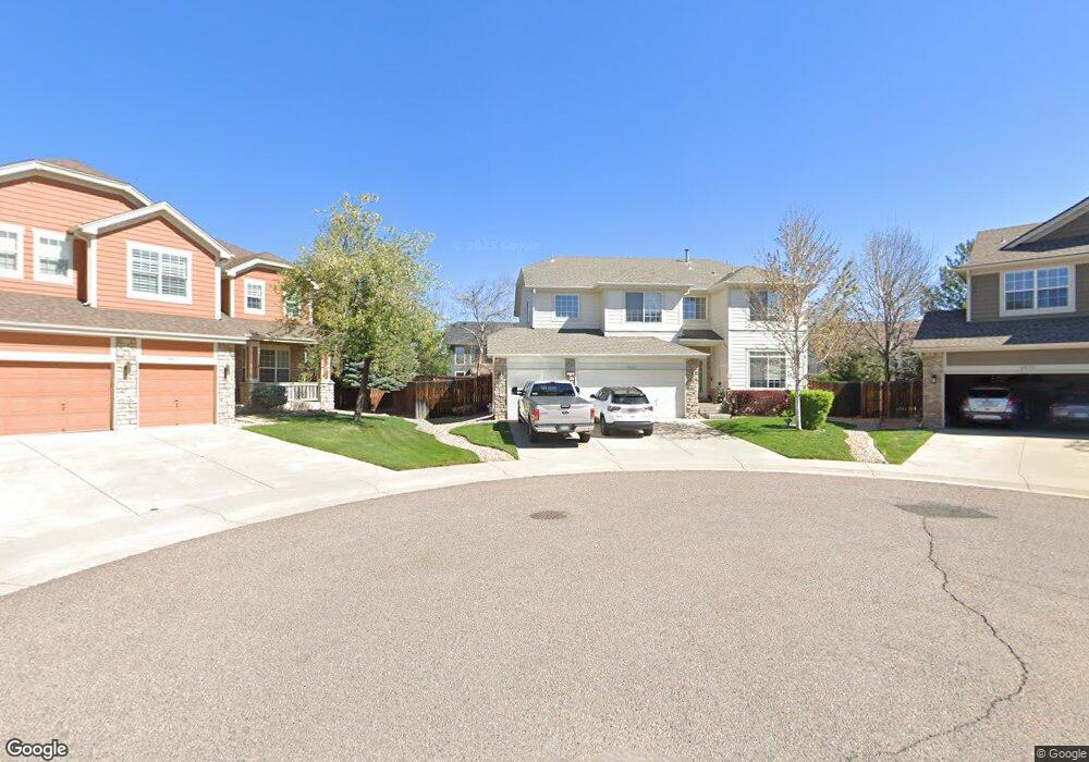
8800 S Independence Ct Littleton, CO 80128
Chatfield Bluffs NeighborhoodEstimated Value: $800,508 - $931,000
4
Beds
5
Baths
2,525
Sq Ft
$341/Sq Ft
Est. Value
About This Home
This home is located at 8800 S Independence Ct, Littleton, CO 80128 and is currently estimated at $862,127, approximately $341 per square foot. 8800 S Independence Ct is a home located in Jefferson County with nearby schools including Shaffer Elementary School, Falcon Bluffs Middle School, and Chatfield High School.
Ownership History
Date
Name
Owned For
Owner Type
Purchase Details
Closed on
Jun 30, 1999
Sold by
The Ryland Group Inc
Bought by
Cohen Kurt David
Current Estimated Value
Home Financials for this Owner
Home Financials are based on the most recent Mortgage that was taken out on this home.
Original Mortgage
$240,000
Outstanding Balance
$66,324
Interest Rate
7.39%
Estimated Equity
$795,803
Create a Home Valuation Report for This Property
The Home Valuation Report is an in-depth analysis detailing your home's value as well as a comparison with similar homes in the area
Home Values in the Area
Average Home Value in this Area
Purchase History
| Date | Buyer | Sale Price | Title Company |
|---|---|---|---|
| Cohen Kurt David | $303,311 | -- |
Source: Public Records
Mortgage History
| Date | Status | Borrower | Loan Amount |
|---|---|---|---|
| Open | Cohen Kurt David | $240,000 |
Source: Public Records
Tax History Compared to Growth
Tax History
| Year | Tax Paid | Tax Assessment Tax Assessment Total Assessment is a certain percentage of the fair market value that is determined by local assessors to be the total taxable value of land and additions on the property. | Land | Improvement |
|---|---|---|---|---|
| 2024 | $4,880 | $49,830 | $14,027 | $35,803 |
| 2023 | $4,880 | $49,830 | $14,027 | $35,803 |
| 2022 | $4,369 | $43,803 | $12,181 | $31,622 |
| 2021 | $4,425 | $45,064 | $12,532 | $32,532 |
| 2020 | $3,898 | $39,789 | $9,901 | $29,888 |
| 2019 | $3,850 | $39,789 | $9,901 | $29,888 |
| 2018 | $3,594 | $35,872 | $10,150 | $25,722 |
| 2017 | $3,281 | $35,872 | $10,150 | $25,722 |
| 2016 | $3,307 | $34,894 | $9,366 | $25,528 |
| 2015 | $3,027 | $34,894 | $9,366 | $25,528 |
| 2014 | $3,027 | $29,954 | $8,406 | $21,548 |
Source: Public Records
Map
Nearby Homes
- 8808 S Kipling Way Unit 202
- 9962 W Victoria Place Unit 102
- 9367 W Vandeventor Dr
- 10056 W Unser Dr Unit 204
- 8778 S Kipling Way Unit 108
- 8778 S Kipling Way Unit 304
- 8778 S Kipling Way Unit 303
- 9992 W Victoria Place Unit 103
- 10061 W Victoria Place Unit 204
- 8779 S Kipling Way Unit 105
- 8726 S Kline St Unit A208
- 10062 W Victoria Place Unit 205
- 9557 W San Juan Cir Unit 207
- 8338 S Independence Cir Unit 104
- 8338 S Independence Cir Unit 107
- 8582 S Lewis Way
- 8603 S Lewis Way
- 8769 S Dudley St
- 8835 W Teton Cir
- 8369 S Independence Cir Unit 305
- 8820 S Independence Ct
- 9618 W Vandeventor Dr
- 9588 W Vandeventor Dr
- 8801 S Independence Ct
- 9638 W Vandeventor Dr
- 9548 W Vandeventor Dr
- 8821 S Independence Ct
- 8840 S Independence Ct
- 9658 W Vandeventor Dr
- 9505 W Victoria Dr
- 8841 S Independence Ct
- 9698 W Vandeventor Dr
- 8822 S Iris Ct
- 9617 W Vandeventor Dr
- 9597 W Vandeventor Dr
- 9708 W Vandeventor Dr
- 9637 W Vandeventor Dr
- 8802 S Iris Ct
- 9587 W Vandeventor Dr
- 8842 S Iris Ct