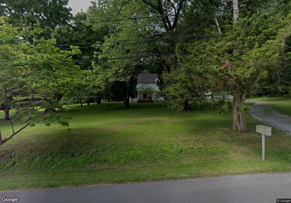
881 Benge Rd Hockessin, DE 19707
Estimated Value: $307,000 - $601,000
4
Beds
1
Bath
1,664
Sq Ft
$246/Sq Ft
Est. Value
About This Home
This home is located at 881 Benge Rd, Hockessin, DE 19707 and is currently estimated at $408,624, approximately $245 per square foot. 881 Benge Rd is a home located in New Castle County with nearby schools including Dupont (H.B.) Middle School, Alexis I. du Pont High School, and Hockessin Montessori School.
Ownership History
Date
Name
Owned For
Owner Type
Purchase Details
Closed on
May 16, 2024
Sold by
Glenn Family Trust and Glenn Terrence
Bought by
Warburton William and Hornberger Lauren
Current Estimated Value
Home Financials for this Owner
Home Financials are based on the most recent Mortgage that was taken out on this home.
Original Mortgage
$380,000
Outstanding Balance
$374,672
Interest Rate
6.88%
Mortgage Type
New Conventional
Estimated Equity
$33,952
Purchase Details
Closed on
Nov 30, 2018
Sold by
Glenn Terrence P
Bought by
Glenn Terrence P and Glenn Family Trust
Purchase Details
Closed on
Jun 1, 1985
Bought by
Glenn Terrence P
Create a Home Valuation Report for This Property
The Home Valuation Report is an in-depth analysis detailing your home's value as well as a comparison with similar homes in the area
Home Values in the Area
Average Home Value in this Area
Purchase History
| Date | Buyer | Sale Price | Title Company |
|---|---|---|---|
| Warburton William | -- | None Listed On Document | |
| Glenn Terrence P | -- | None Available | |
| Glenn Terrence P | $94,000 | -- |
Source: Public Records
Mortgage History
| Date | Status | Borrower | Loan Amount |
|---|---|---|---|
| Open | Warburton William | $380,000 |
Source: Public Records
Tax History
| Year | Tax Paid | Tax Assessment Tax Assessment Total Assessment is a certain percentage of the fair market value that is determined by local assessors to be the total taxable value of land and additions on the property. | Land | Improvement |
|---|---|---|---|---|
| 2024 | $1,777 | $48,100 | $26,000 | $22,100 |
| 2023 | $1,568 | $48,100 | $26,000 | $22,100 |
| 2022 | $1,586 | $48,100 | $26,000 | $22,100 |
| 2021 | $1,586 | $48,100 | $26,000 | $22,100 |
| 2020 | $1,592 | $48,100 | $26,000 | $22,100 |
| 2019 | $1,589 | $48,100 | $26,000 | $22,100 |
| 2018 | $1,557 | $48,100 | $26,000 | $22,100 |
| 2017 | $1,538 | $48,100 | $26,000 | $22,100 |
| 2016 | $1,469 | $48,100 | $26,000 | $22,100 |
| 2015 | $1,377 | $48,100 | $26,000 | $22,100 |
| 2014 | $1,274 | $48,100 | $26,000 | $22,100 |
Source: Public Records
Map
Nearby Homes
- 1075 Yorklyn Rd
- 11 Yorkridge Trail
- 112 Cameron Dr
- 646 Woodview Dr
- 12 Larchmont Ct
- 105 Bellfield Ct
- 408 Willowbend Ct
- 634 Grant Ave
- 513 Pershing Rd
- 809 Christopher Ct
- 2160 Brackenville Rd
- 567 Southwood Rd
- 832 Evanson Rd
- 102 Knoxlyn Farm Dr
- 1848 Brackenville Rd
- 7 Piersons Ridge Unit RG
- 531 Chandler Mill Rd
- 257 Grove View Dr
- 255 Grove View Dr
- 1777 Brackenville Rd
Your Personal Tour Guide
Ask me questions while you tour the home.