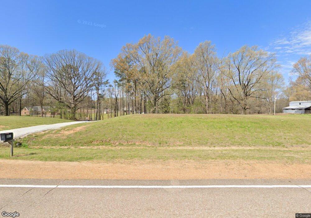
881 Highway 301 S Lake Cormorant, MS 38641
Lake Cormorant NeighborhoodEstimated Value: $359,000 - $437,000
4
Beds
--
Bath
2,273
Sq Ft
$171/Sq Ft
Est. Value
About This Home
This home is located at 881 Highway 301 S, Lake Cormorant, MS 38641 and is currently estimated at $388,633, approximately $170 per square foot. 881 Highway 301 S is a home with nearby schools including Lake Cormorant Elementary School, Horn Lake Intermediate School, and Horn Lake Middle School.
Ownership History
Date
Name
Owned For
Owner Type
Purchase Details
Closed on
May 23, 2019
Sold by
Rca Investments Llc
Bought by
Davison Terry and Davison Kathy
Current Estimated Value
Home Financials for this Owner
Home Financials are based on the most recent Mortgage that was taken out on this home.
Original Mortgage
$207,920
Outstanding Balance
$135,339
Interest Rate
4.1%
Mortgage Type
New Conventional
Estimated Equity
$253,294
Purchase Details
Closed on
Feb 11, 2009
Sold by
Krosnes John
Bought by
Durham Kimberly F and Cumberland Trust & Investment Company
Create a Home Valuation Report for This Property
The Home Valuation Report is an in-depth analysis detailing your home's value as well as a comparison with similar homes in the area
Home Values in the Area
Average Home Value in this Area
Purchase History
| Date | Buyer | Sale Price | Title Company |
|---|---|---|---|
| Davison Terry | -- | None Available | |
| Durham Kimberly F | -- | None Available |
Source: Public Records
Mortgage History
| Date | Status | Borrower | Loan Amount |
|---|---|---|---|
| Open | Davison Terry | $207,920 |
Source: Public Records
Tax History Compared to Growth
Tax History
| Year | Tax Paid | Tax Assessment Tax Assessment Total Assessment is a certain percentage of the fair market value that is determined by local assessors to be the total taxable value of land and additions on the property. | Land | Improvement |
|---|---|---|---|---|
| 2024 | $923 | $16,639 | $1,810 | $14,829 |
| 2023 | $923 | $16,639 | $0 | $0 |
| 2022 | $1,380 | $16,639 | $1,810 | $14,829 |
| 2021 | $1,380 | $16,639 | $1,810 | $14,829 |
| 2020 | $1,561 | $15,454 | $0 | $0 |
| 2019 | $274 | $2,715 | $2,715 | $0 |
| 2017 | $732 | $7,200 | $7,200 | $0 |
| 2016 | $732 | $7,200 | $7,200 | $0 |
| 2015 | $732 | $7,200 | $7,200 | $0 |
| 2014 | $732 | $7,200 | $0 | $0 |
| 2013 | $732 | $7,200 | $0 | $0 |
Source: Public Records
Map
Nearby Homes
- 10220 Green River Rd
- 2234 Mississippi 301
- 10495 Spring River Cove
- 1996 Tanyard Rd
- 9 Baldwin Rd
- 10080 Green Forest Dr
- 104 Blue Lake Cove
- 2373 Mississippi 301
- 1071 Wilson Ridge
- 1175 Wilson Ridge
- 11119 Black Bear Cove
- 10117 Emerald Forest Dr
- 11007 Horseshoe Bend
- 2670 Emerald Way Dr
- 2297 Mississippi 301
- 11048 Horseshoe Bend
- 11015 Horseshoe Bend
- 1915 Mattaha Dr
- 11147 Horseshoe Bend
- 10437 Emerald Cove
- 791 Highway 301 S
- 889 Highway 301 S
- 889 Highway 301 S
- 937 Highway 301 S
- 937 Highway 301 S
- 791 Highway Unit 301
- 791 Highway
- 9074 Newell Rd
- 800 Highway 301 S
- 9180 Newell Rd
- 800 Highway 301 Hwy
- 1 Highland Meadows Minor Lot
- 8995 Newell Rd
- 920 Highway 301 S
- 9047 Newell Rd
- 727 Highway 301 S
- 5 Newell Rd
- 8776 Newell Rd
- 1141 Highway 301 S
- 8911 Newell Rd
