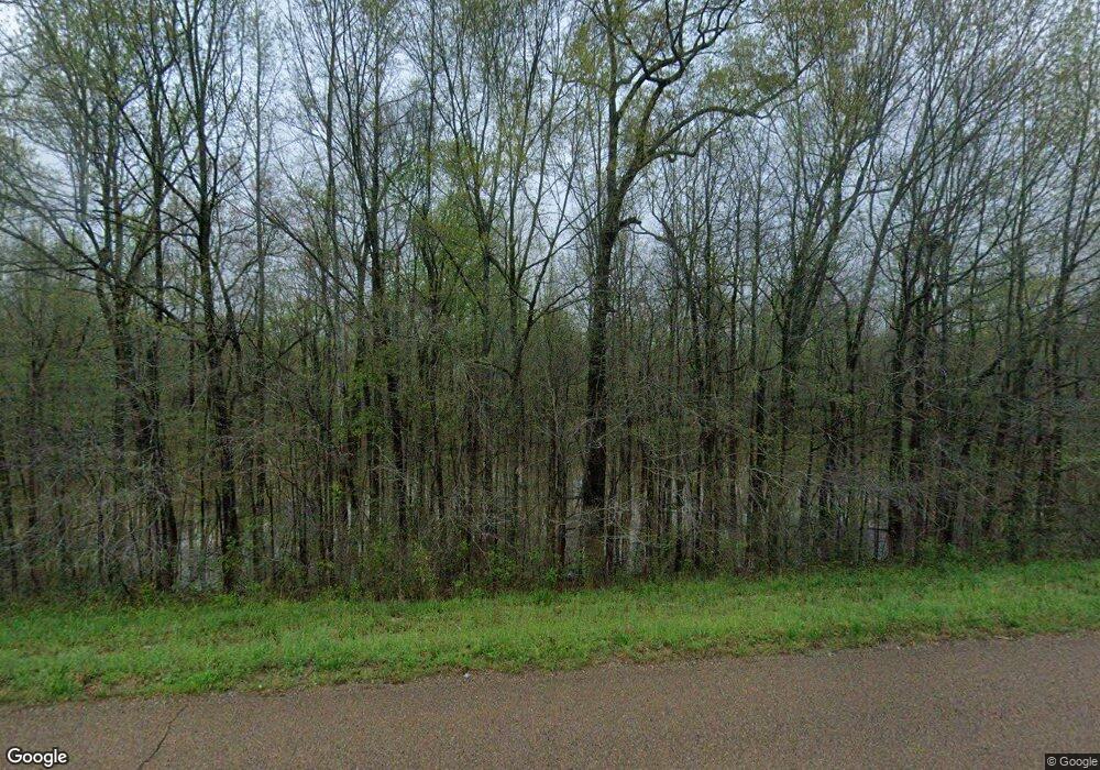
8830 Highway 641 N Puryear, TN 38251
Estimated Value: $147,112 - $228,000
--
Bed
2
Baths
1,512
Sq Ft
$125/Sq Ft
Est. Value
About This Home
This home is located at 8830 Highway 641 N, Puryear, TN 38251 and is currently estimated at $188,778, approximately $124 per square foot. 8830 Highway 641 N is a home located in Henry County.
Ownership History
Date
Name
Owned For
Owner Type
Purchase Details
Closed on
Jul 12, 2005
Sold by
York Paul R
Bought by
State Of Tennessee
Current Estimated Value
Purchase Details
Closed on
Mar 31, 2003
Sold by
Newman Eric H
Bought by
York Paul R
Purchase Details
Closed on
Sep 14, 2000
Sold by
Wade Letson Jeffery
Bought by
Eric Newman
Purchase Details
Closed on
Dec 10, 1990
Bought by
Letson Jeffery Wade and Letson Terri M
Purchase Details
Closed on
Apr 3, 1987
Bought by
Chenoweth Robert P and Chenoweth Janice L
Purchase Details
Closed on
Sep 12, 1969
Bought by
Raines Carl T and Jean Beatrice
Purchase Details
Closed on
Apr 30, 1961
Create a Home Valuation Report for This Property
The Home Valuation Report is an in-depth analysis detailing your home's value as well as a comparison with similar homes in the area
Home Values in the Area
Average Home Value in this Area
Purchase History
| Date | Buyer | Sale Price | Title Company |
|---|---|---|---|
| State Of Tennessee | $188 | -- | |
| York Paul R | $72,500 | -- | |
| Eric Newman | $63,500 | -- | |
| Letson Jeffery Wade | $45,000 | -- | |
| Chenoweth Robert P | $46,000 | -- | |
| Raines Carl T | -- | -- | |
| -- | -- | -- |
Source: Public Records
Tax History Compared to Growth
Tax History
| Year | Tax Paid | Tax Assessment Tax Assessment Total Assessment is a certain percentage of the fair market value that is determined by local assessors to be the total taxable value of land and additions on the property. | Land | Improvement |
|---|---|---|---|---|
| 2024 | $411 | $21,250 | $3,175 | $18,075 |
| 2023 | $402 | $21,250 | $3,175 | $18,075 |
| 2022 | $402 | $21,250 | $3,175 | $18,075 |
| 2021 | $402 | $21,250 | $3,175 | $18,075 |
| 2020 | $402 | $21,250 | $3,175 | $18,075 |
| 2019 | $423 | $20,225 | $3,175 | $17,050 |
| 2018 | $423 | $20,225 | $3,175 | $17,050 |
| 2017 | $423 | $20,225 | $3,175 | $17,050 |
| 2016 | $417 | $20,225 | $3,175 | $17,050 |
| 2015 | $432 | $19,675 | $3,175 | $16,500 |
| 2014 | $431 | $19,675 | $3,175 | $16,500 |
| 2013 | $431 | $19,635 | $0 | $0 |
Source: Public Records
Map
Nearby Homes
- 0 Highway 140 E
- 9620 Hwy 641n
- 236 W Chestnut St
- 317 Stokes St
- 330 N Cherry St
- 200 Morris Rd
- 0 Old Paris Murray Rd
- 2935 Foundry Hill Rd
- 6580 N Hwy 641
- 6340 Highway 641 N
- 0 Goldston Springs Rd
- 2614 Rice Humphrey Rd
- 955 Martin Mill Rd
- 8985 Shady Grove Rd
- 2794 Perkins Rd
- 0 Perkins Rd
- 00 Perkins Rd
- 000 Perkins Rd
- 10433 Shady Grove Rd
- 1230 Perkins Rd
- 8825 Highway 641 N
- 8770 Highway 641 N
- 8975 Highway 641 N
- 9020 Highway 641 N
- 9055 Highway 641 N
- 275 Puryear Country Club Rd
- 275 Country Club Rd
- 9105 Highway 641 N
- 305 Puryear Country Club Rd
- 9120 Highway 641 N
- 9125 Highway 641 N
- 8515 Highway 641 N
- 9170 Highway 641 N
- 9190 Highway 641 N
- 616 Country Club Dr
- 613 Country Club Dr
- 215 Smith St
- 209 Smith St
- 219 Smith St
- 221 Smith St
