Estimated Value: $253,296 - $353,000
Studio
2
Baths
1,056
Sq Ft
$277/Sq Ft
Est. Value
About This Home
This home is located at 88455 Buxton Rd, Scio, OH 43988 and is currently estimated at $292,765, approximately $277 per square foot. 88455 Buxton Rd is a home located in Harrison County with nearby schools including Harrison Central Elementary School and Harrison Central Junior/Senior High School.
Ownership History
Date
Name
Owned For
Owner Type
Purchase Details
Closed on
Jul 5, 2018
Sold by
Riley Ii Robert L and Cole Pamela J
Bought by
Riley Ii Robert L
Current Estimated Value
Purchase Details
Closed on
May 24, 2013
Sold by
Smith Sarah and The Bates Family Trust
Bought by
Smith Sarah and Lamar Laura
Purchase Details
Closed on
Sep 1, 1994
Purchase Details
Closed on
Sep 30, 1993
Purchase Details
Closed on
Mar 3, 1993
Purchase Details
Closed on
Feb 5, 1988
Purchase Details
Closed on
Mar 23, 1987
Purchase Details
Closed on
Jan 21, 1987
Purchase Details
Closed on
Jul 25, 1986
Create a Home Valuation Report for This Property
The Home Valuation Report is an in-depth analysis detailing your home's value as well as a comparison with similar homes in the area
Purchase History
| Date | Buyer | Sale Price | Title Company |
|---|---|---|---|
| Riley Ii Robert L | -- | None Available | |
| Smith Sarah | -- | None Available | |
| -- | $12,000 | -- | |
| -- | -- | -- | |
| -- | -- | -- | |
| -- | $800 | -- | |
| -- | $1,800 | -- | |
| -- | -- | -- | |
| -- | $1,600 | -- |
Source: Public Records
Tax History
| Year | Tax Paid | Tax Assessment Tax Assessment Total Assessment is a certain percentage of the fair market value that is determined by local assessors to be the total taxable value of land and additions on the property. | Land | Improvement |
|---|---|---|---|---|
| 2024 | $1,974 | $61,560 | $19,130 | $42,430 |
| 2023 | $1,986 | $61,560 | $19,130 | $42,430 |
| 2022 | $1,664 | $51,260 | $16,910 | $34,350 |
| 2021 | $1,645 | $51,260 | $16,910 | $34,350 |
| 2020 | $1,637 | $51,260 | $16,910 | $34,350 |
| 2019 | $1,172 | $36,680 | $6,810 | $29,870 |
| 2018 | $1,536 | $36,680 | $6,810 | $29,870 |
| 2017 | $777 | $36,680 | $6,810 | $29,870 |
| 2016 | $1,708 | $37,890 | $7,780 | $30,110 |
| 2015 | $1,701 | $37,890 | $7,780 | $30,110 |
| 2014 | $1,257 | $33,850 | $4,600 | $29,250 |
| 2013 | $1,257 | $33,850 | $4,600 | $29,250 |
Source: Public Records
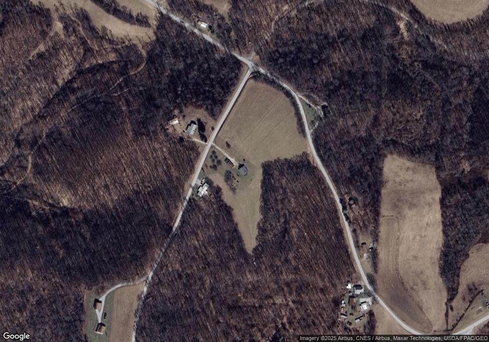
Map
Nearby Homes
- 87085 Crall Rd
- 38500 Bower Rd
- 109 W College St
- 38730 Bower Rd
- 86523 N Bay Rd
- 86603 N Bay Rd
- 37420 Ohio 151
- 86309 N Bay Rd
- 86750 Beaver Dam Rd
- 91510 Amos Rd
- 90480 Kilgore Ridge Rd
- 91240 Kilgore Ridge Rd Unit 47
- 87038 Keyser Rd
- 85200 Merryman Rd
- 0 Country Rd
- 0 Deersville Ridge Rd Unit 5166106
- 8013 & 8019 East St SW
- 8125 Scio Rd SE Unit 35
- Brough Rd
- 0 State Route 250
- 88405 Buxton Rd
- 35950 Gundy Ridge Rd
- 35890 Gundy Ridge Rd Unit 25
- 35600 Gundy Ridge Rd Unit 44
- 35975 Gundy Ridge Rd
- 35995 Gundy Ridge Rd
- 88600 Luneman Rd
- 88385 Buxton Rd
- 36230 Gundy Ridge Rd
- 35455 Gundy Ridge Rd Unit 44
- 0 Gundy Ridge Rd
- 35445 Gundy Ridge Rd Unit 44
- 36295 Gundy Ridge Rd Unit 44
- 88135 Buxton Rd
- 36585 Gundy Ridge Rd Unit 44
- 35215 Gundy Ridge Rd
- 35215 Gundy Ridge Rd Unit 44
- 89000 Luneman Rd
- 87985 Buxton Rd
- 35205 Gundy Ridge Rd Unit 44
Your Personal Tour Guide
Ask me questions while you tour the home.